Download
1 / 7
70 likes | 188 Views
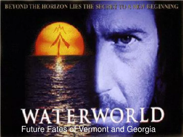
Future Fates of Vermont and Georgia. Important Notes: This project projects the effects that a complete ice sheet and glacial melting would have on sea level, in combination with future thermal expansion.

E N D
Important Notes: • This project projects the effects that a complete ice sheet and glacial melting would have on sea level, in combination with future thermal expansion. • New sea level is predicted to be 72.5 meters higher than current level, equal to 238 feet. • Actual estimates for the future sea level places the rise to be approximately .18 meters by the middle of the 21st century. This rise is too insignificant to map. • The losses of land area for the near future due to ice sheet melting can be considered to not be a threat to human activities. Contributors to 72.5 meter sea level rise • Antarctic Ice Sheet = 65 meters • Greenland Ice Sheet = 7 meters • Glacial melting = .35 meters • Thermal expansion = .15 meters
Construction Steps • Acquire DEM and VSPRAWL1 layers from VCGI • Rasterize VSPRAWL1 layer • Overlay hollow VSRPAWL1 layer on DEM • Use raster calculator to determine flooded areas (238 ft.) • Individually identify flooded towns populations and flooding extent
Total = 158,075 • 26% of Vermont’s population would have to move in worst scenario • 2% of Vermont’s population would be required to move in the best scenario • 8% of the total current land area of Vermont would be covered
Construction Steps • Acquire DEM and town boundaries layer from Georgia GIS Data Clearinghouse • Unzip files • Place hollow town boundaries layer over DEM layer • Select the DEM layer for areas equal to or below 72.5 meters • Use estimation procedures to determine magnitude of flooding
Georgia’s damage • Estimated flooded area = 19,603 sq. miles • 19, 603 sq. miles = 34% of the state becomes part of the Atlantic Ocean • Estimated population forced to move = 2,771,863 • Population moved estimate is based on average density of people in Georgia, so 2,771,863 people = 34% of the total population
Food for Thought: • Vermont Yankee Nuclear Power Plant is in Vernon Vt. • Majority of Worlds Population lives in coastal areas • Increased sea level will increase storm surges inland • Every non-landlocked nation will have to prepare for the effects that an increased sea level will have on them