Download
1 / 16
170 likes | 307 Views
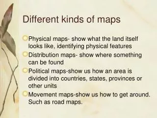
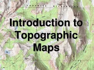
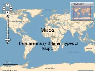
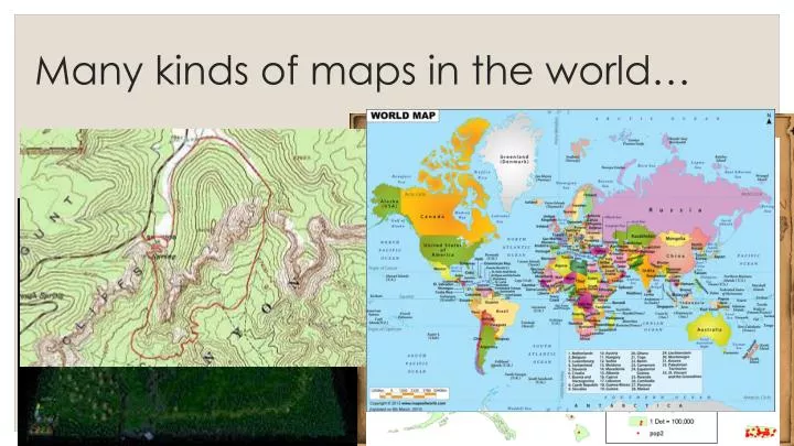
Many kinds of maps in the world… . Maps are very much needed in our daily lives. Can you name more examples of maps that we need to use in our everyday lives?. Understanding world maps. D. NAMES North America South America Europe Africa Asia Australia Antarctica Pacific Ocean

E N D
Maps are very much needed in our daily lives. Can you name more examples of maps that we need to use in our everyday lives?
D NAMES • North America • South America • Europe • Africa • Asia • Australia • Antarctica • Pacific Ocean • North Atlantic Ocean • South Atlantic Ocean • Southern Ocean • Indian Ocean • Arctic Ocean 5 3 B 1 A 4 2 C E 6 F 7
Oceans and Continents 7 • There are ____ continents on earth. • They are: North America, South America, Europe, Asia, Africa, Australia and Antarctica. 6 • There are ___ oceans. • They are: Pacific Ocean, North Atlantic Ocean, South Atlantic Ocean, Indian Ocean, Southern Ocean and Arctic Ocean.
SO, other than continents and oceans, what other geographical features can be observed on a world map?
Sahara Desert Gobi Desert Arabian Desert Great Sandy Desert
Rocky Mountains Himalayas Andes Mountains
ARCTIC ZONE TEMPERATE ZONE TROPICAL ZONE TEMPERATE ZONE ARCTIC ZONE
Finding Location (Atlas) 1) By Latitudes and Longitudes • Latitudes and longitudes are imaginary lines which cannot be seen on the actual surface of the Earth • Expressed as degrees of a circle measured from the centre of the Earth • Measured in degrees(°), minutes(‘) and seconds(“) • 1° = 60’ • 1’ = 60” • Latitude is always read 1st before longitude. very much like in mathematics – (x, y) • Eg. Singapore is located at 1°17’N 103°51’E
Finding Location (Atlas) • Latitude (parallels, x) • Imaginary horizontal lines running in an east-west direction around the world • Numbered from 0 to 90°N and 90°S
Finding Location (Atlas) • Longitude (meridians, y) • Imaginary lines that run in a north-south direction from North Pole to South Pole • Numbered from 0° at Greenwich to 180°E and 180°W • Longitude 180°E and 180°W are the same line.
Use of Latitude and Longitude Clue: (x, y) 30°N 10°E