Download
1 / 1
10 likes | 14 Views
GeoData Institute provides real-time data access and supports operational management of the coastal zone for flood and erosion risk management, marine spatial planning, and research using high-quality accessible environmental data. Our expertise in data management and semantic query design ensures effective information exchange for the marine community.

E N D
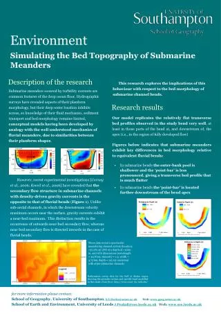
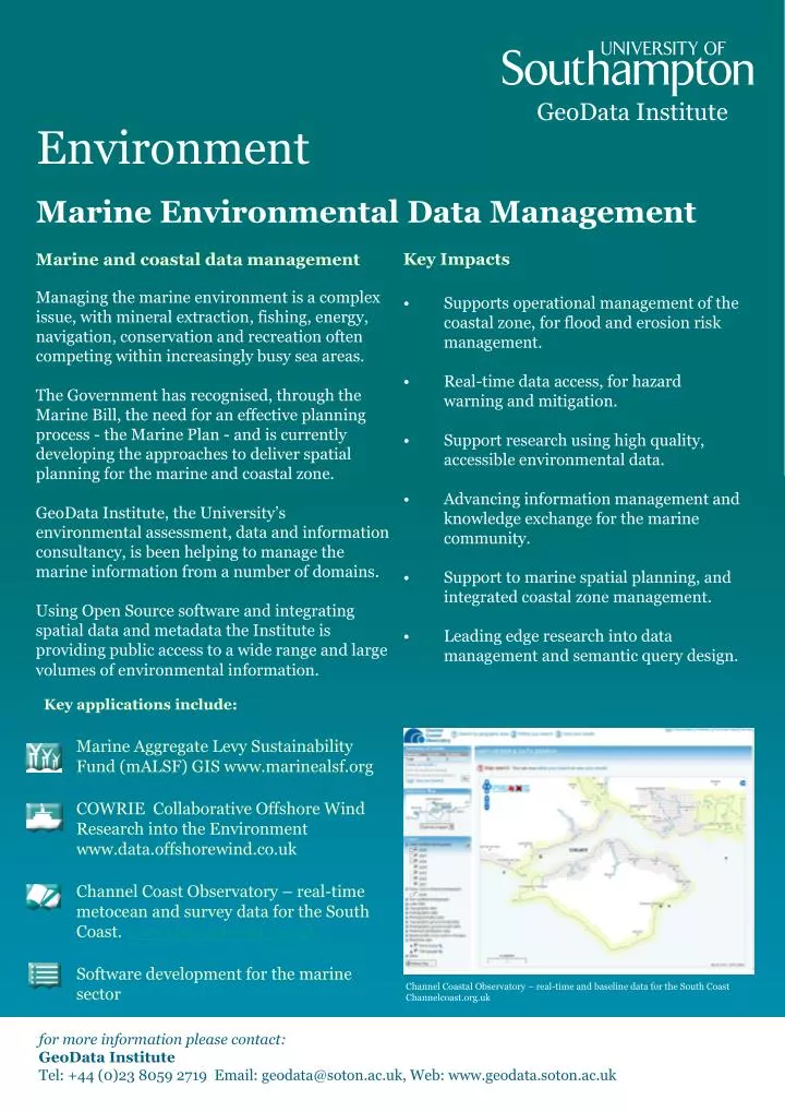
GeoData Institute Environment Marine Environmental Data Management • Key Impacts • Supports operational management of the coastal zone, for flood and erosion risk management. • Real-time data access, for hazard warning and mitigation. • Support research using high quality, accessible environmental data. • Advancing information management and knowledge exchange for the marine community. • Support to marine spatial planning, and integrated coastal zone management. • Leading edge research into data management and semantic query design. Marine and coastal data management Managing the marine environment is a complex issue, with mineral extraction, fishing, energy, navigation, conservation and recreation often competing within increasingly busy sea areas. The Government has recognised, through the Marine Bill, the need for an effective planning process - the Marine Plan - and is currently developing the approaches to deliver spatial planning for the marine and coastal zone. GeoData Institute, the University’s environmental assessment, data and information consultancy, is been helping to manage the marine information from a number of domains. Using Open Source software and integrating spatial data and metadata the Institute is providing public access to a wide range and large volumes of environmental information. • Key applications include: • Marine Aggregate Levy Sustainability Fund (mALSF) GIS www.marinealsf.org • COWRIE Collaborative Offshore Wind Research into the Environment www.data.offshorewind.co.uk • Channel Coast Observatory – real-time metocean and survey data for the South Coast. www.channelcoast.org.uk • Software development for the marine sector Channel Coastal Observatory – real-time and baseline data for the South Coast Channelcoast.org.uk for more information please contact: GeoData Institute Tel: +44 (0)23 8059 2719 Email: geodata@soton.ac.uk, Web: www.geodata.soton.ac.uk