Download
1 / 21
210 likes | 344 Views
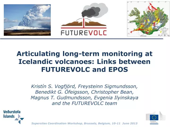
Articulating long-term monitoring at Icelandic volcanoes: Links between FUTUREVOLC and EPOS Kristín S. Vogfjörd , Freysteinn Sigmundsson , Benedikt G. Ófeigsson , Christopher Bean, Magnus T. Gudmundsson , Evgenia Ilyinskaya and the FUTUREVOLC team

E N D
Articulating long-term monitoring at Icelandic volcanoes: Links between FUTUREVOLC and EPOS Kristín S. Vogfjörd, FreysteinnSigmundsson, BenediktG. Ófeigsson, Christopher Bean, Magnus T. Gudmundsson, EvgeniaIlyinskaya and the FUTUREVOLC team Supersites Coordination Workshop, Brussels, Belgium, 10-11 June 2013
Tectonic Processes in Iceland • Location on Mid-Atlantic Rift • Horizontal velocity 1,9 cm/year w.r.t. North America • Rifting in the volcanic zones • 30 active volcanic systems [Árnadóttir et al., 2008]
Seismic monitoring grf vot
Seismicity in Vatnajökull ice cap – relative locations lat,lon<0.5 km depth<1 km
Eyjafjallajökull and KatlaSeismicity in caldera is predominantly shallow lat,lon<0.5 km depth<1 km Deep events
Number of events 1992-2008 2011, Jan – July Year Depth
Volcanic Risk Assessmentand Volcano Catalogue for Iceland • Volcanic risk assessment funded by Icelandic government • eruptive activity and potential hazards • risk assessment of floods triggered by volcanic eruptions • Initial risk assessment of explosive eruptions in Iceland • focus on urban areas and international airports in Iceland • An open-access volcano catalogue of Icelandic volcanoes, published on the web – funded by ICAO • User-friendly, designed for both the public and specialists • Contains both quick-access overviews and in-detail information
Monitoring Meteorological Hazardin the North Atlantic Oceanic Area • Icelandic Meteorological Office is repsonsible for monitoring meteorological hazard in the North-Atlantic Oceanic area • Issues warnings to other Met offices and to the London Volcanic Ash Acvisory Centre (VAAC) • ICAO State Volcano observatory
Aviation Colour Code Status Mapfor Icelandic Volcanoes Aviation colour codes used by the Icelandic Meteorological Office GREY: Volcano appears quiet but is not monitored adequately. Absence of unrest unconfirmed. GREEN: Volcano is in typical background, non-eruptive state. YELLOW: Volcano is exhibiting signs of elevated unrest above known background level. ORANGE: Volcano is exhibiting heightened or escalating unrest with increased potential of eruption. RED: Eruption is imminent or in progress - significant emission of ash into the atmosphere likely.
Monitoring Sensitivity of Networks • Number of stations within distance • Seismic: • GPS:
Volcano Catalogue • Katla desription and cenario examples: [G. Larsen et al.)
Seismic activity at volcanoes in Vatnajökull Grímsvötn 2004 Grímsvötn 2011 Gjálp 1996 Grímsvötn 1998 91 92 93 94 95 96 97 98 99 00 01 02 03 04 05 06 07 08 09 10 11 12
Seismic Activity: Eyjafjallajökull Katla 92 94 96 98 00 02 04 06 08 10 12 Median
FUTUREVOLC Icelandic volcano supersite • Present RI’s at IMO and IES • Seismic stations • GPS stations • Strain stations • Hydrological gagues • Weather radars • Meteorological stations • Ash particle counters • Monitoring of ice cauldrons Significant build-up of new infrastructure Present monitoring infrastructure: • After FUTUREVOLC • Seismic arrays • Glacier seismometers (SME) • GPS stations • Gas monitors • Chemical monitoring in rivers • Mobile radio sond station • Ash monitors (SME) • Infrasound arrays • Electric field sensors • Mobile ash laboratory • Cameras (IR og optical) • Satellite data
Extending network operations into the glaciers • One of the objectives: • eruption early warning • Monitoring systems moved closer to the volcanoes, and into the glaciers • Glacier seismometers developed by Guralp - installed in the ice • To enable eruption early warning, real-time • processing of multiparameter data will be developed • To decrease the number of false alarms, real-time processes to discriminate between seismic tremor due to volcanic eruptions and subglacial floods
Monitoring Sensitivity of Networksafter FUTUREVOLC • Number of stations within distance • Seismic: • GPS: Hekla-Vatnafjöll Bárðarbunga-Veiðvötn Öræfajökull Bárðarbunga-Veiðivötn Öræfajökull
Icelandic Infrastructures in EPOS • Includes the multidisciplinary infrastructure of the Volcano Observatory
The Icelandic Supersitea Volcanological Data Node in EPOS The volcanological data node A central and sustainable part of FUTUREVOLC is the establishment of a research-quality data center at the volcano observatory. Once established, this data center can serve as a volcanological data node within EPOS, making multi-disciplinary data accessible to scientists and stakeholders, and enabling the generation of products and services useful for civil protection, societal infrastructure and international aviation.