Download
1 / 13
130 likes | 135 Views
Learn how GIS and GPS are integrated into an undergraduate Field Methods course in the Urban Environment at New Jersey City University. Explore the benefits, skills acquired, and examples of using GIS and GPS in geological mapping and topographic mapping exercises. Discover how these technologies enhance students' understanding of geoscience concepts and equip them with in-demand skills for future careers.

E N D
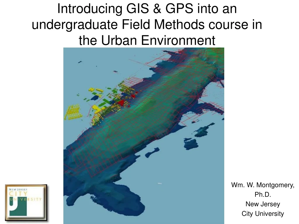
Introducing GIS & GPS into an undergraduate Field Methods course in the Urban Environment Wm. W. Montgomery, Ph.D. New Jersey City University
Why GIS / GPS ? • Useful skill set • Marketable skill set • Transcends disciplines • Belongs to one of the Top Ten fastest-growing disciplines of the 21st century (Dept of Labor) • Enables demographically diverse students from NJCU to be “job-ready”
How we incorporate GIS & GPS at NJCU: • GIS I / II (Applications / Analysis) courses are one of only a handful that satisfy Quantitative & Computer Literacy General Studies requirement (read: alternative to Math) • 12 CH GIS Certificate (full online deliverability) • 18 CH GIS Concentration (w/ Comp Sci) • Recently integrated into Community Health curriculum • Integrating into the “home” Geoscience / Geography curriculum as older faculty have retired and new courses could be introduced
Example of GIS & GPS integration into our “evolving” Field Methods course • Two examples offered today: • Use GPS to locate outcrops in a simple geologic mapping exercise at High Point S.P. • Use plane table / alidade, GPS, and Electronic Total Station in mapping topography and use ArcScene to help students visualize the power of contour mapping
Integrate GPS into outcrop & geologic mapping exercise: Old method: Provide blank topo map, take students to each outcrop
Integrate GPS into outcrop & geologic mapping exercise: New Approach: Student use topo map & airphoto, with key outcrops located
Insights thanks to introduction of GPS in outcrop & geologic mapping exercise: • With a list of companion coordinates and a GPS unit, students can have some fun orienteering to find the outcrops, and they report a sense of accomplishment that they could find something in a foreign, rural environment (the “woods”) • Because NJCU Geo majors are non-traditional, work to support families, etc, GPS in this exercise provides them with an “asynchronous” option that fits their schedules, enabling them to persist and complete the exercise • Students continue to learn the basics about locating and identifying rocks and measuring their attitudes and properties, rather than missing this rare opportunity
Using GPS & GIS to map topography: Old Method: Students used plane table & alidade to map topography
Using GPS & GIS to map topography: New Method: GPS & ETS bring the exercise into 21st Century
Using GPS & GIS to map topography: New Method: GPS & ETS bring the exercise into 21st Century
GIS-based 3D viewing aids students in understanding the power of contouring
Insights thanks to introduction GPS & GIS in topographic mapping exercise: • Plane table / alidade usage facilitates understanding of the “nuts and bolts” of basic surveying (GL, Instrument Height, positive vs negative inclinations, etc) • Incorporation of GPS & ETS presents modern equipment to Geo majors & provides basis for comparison to data acquired by older technology • Wrestling with different data sets provides excellent opportunities for critical thinking and problem-solving in a team setting, presenting the students with yet another opportunity: Interpersonal skill development • GIS’ 3D capability enables students to grasp the concept of “contouring” more rapidly and effectively than by former method of students simply contouring plane table data
3D Arcscene demo if time permits;Following that, conclusions: • Introduction of GIS & GPS skills are essential to viability of any 21st century Field Methods course • Development of GIS & GIS skills represent a major challenge, but their value can be appreciated by students, especially when fun, humor, patience, & team learning are incorporated • GIS & GPS data acquisition & mapping can be placed in historical context with older tools that, combined, help facilitate development of 3D visualization & spatial reasoning, critical skills in the development of any practicing 21st century Geoscientist QUESTIONS?