Download
1 / 14
160 likes | 260 Views
Geographic History of the Bicycle. Longitude and Latitude. Benefits of Active Transportation. Exercise, clean air, no traffic, and fun!. Latitude. Lines East/West The Center Line is the Equator (O°) All Latitude above the equator are Northern , and all below are Southern.

E N D
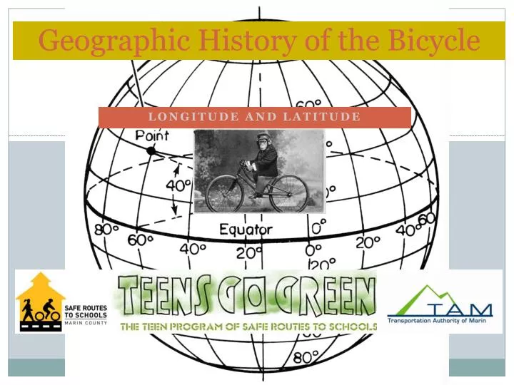
Geographic History of the Bicycle Longitude and Latitude
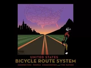
Benefits of Active Transportation Exercise, clean air, no traffic, and fun!
Latitude Lines East/West The Center Line is the Equator (O°) All Latitude above the equator are Northern, and all below are Southern
FINDING LATITUDE LINES • Find 30º N latitude on your globe. What US states does it run through? Texas, Louisiana, and Florida • A senator from Wisconsin started Earth in 1970. Which latitude line runs through Wisconsin? 45º N • Find the 60º N latitude line. Is there any US state above this line? Alaska
FINDING LATITUDE LINES • Tropical areas get lots of sun because they are near the equator. What is the line that marks the northern limit of the “tropics”? Tropic of Cancer • How far north is the line (how many degrees?) 23.5º N • The southern limit of the tropics is the Tropic of Capricorn. How far south is it? 23.5º S
Longitude Lines North/South The Oº line is Prime Meridian All lines to the right of Oº are East, lines on the left are West.
This European city made the first bicycles in 1817, and the first public bus system (Omnibus). Located at 49°N and 20°E. Paris, France Finding Coordinates-Determine what cities are at the following locations:
Finding Longitude Lines • Find the Prime Meridian. • Identify the Eastern and Western hemispheres. • Bikes parked in Amsterdam, where more than half of all trips are by bike. What longitude line runs through Amsterdam? 5 E.
NEXT CITY The first ‘Critical Mass’- a monthly bike ride with hundreds of thousands of bicyclists worldwide originated in this city, at 38°N and 122.5°W. San Francisco, CA
NEXT CITY The IDEA of a critical mass- a big lump of traffic (bicycles, scooters and cars)- came from this city, located at 40°N and 116°E Beijing, China
Finding Longitude Lines, con’d. • Sydney, Australia has one of the highest rates of skin cancer in the world, largely because of the hole in the ozone layer over the south pole. Sydney is fairly close to the 150°E longitude line, but not quite on it. What Line would you estimate it is on? 152-155°E
NEXT CITY If you want to go bicycling on the longest day of the year in this city- located at 37°S and 175°E- you will have to go on December 21st! Auckland, New Zealand
Conclusion Longitude and Latitude are lines that create a grid to locate a location on earth. The Equator is the middle of North/South. The Prime Meridian is center for East/West. Bicycles are used around the world for clean, healthy, and fun transportation!