Download
1 / 21
220 likes | 402 Views
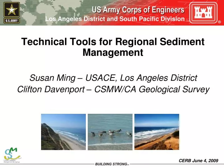
Technical Tools for Regional Sediment Management Susan Ming – USACE, Los Angeles District Clifton Davenport – CSMW/CA Geological Survey. A “SUPER-REGIONAL” APPROACH. Reservoir. Sediment Trapped Behind Dams and Debris Basins. Sediment excavated and bypassed downstream. Dam.

E N D
Technical Tools for Regional Sediment Management Susan Ming – USACE, Los Angeles District Clifton Davenport – CSMW/CA Geological Survey
Reservoir Sediment Trapped Behind Dams and Debris Basins Sediment excavated and bypassed downstream. Dam Sand and Gravel Mining Sand loss compensated through projects or fees. Urbanization of Watershed Mining moved out of river. More sand transported to coast. Sand held in place by future urbanization is compensated through projects or fees. Sand from harbors placed on beaches in need. Less Beach Erosion Restored River Harbor Beach replenished with sand dredged from offshore or transported from inland projects. More Sand Reaching Coast Sand Trapped by Harbor Structures Ocean Regional Sediment (Sand) Management ROAD TO SOLUTIONS
TECHNCIAL TOOL CATEGORIES • Educational and Informational Reports and Data • Computer Based Tools • Coastal RSM Plans
Educational and Informational Reports and Data • Biological Impacts Analysis and Recommendations • Cumulative Loss of Sediment Due to Dams • The Economics of Regional Sediment Management in Ventura and Santa Barbara Counties • Beaches, Littoral Drift and Littoral Cells -understanding California’s Shoreline and Beach Nourishment • Beach Restoration Regulatory Guide • Sand Compatibility and Opportunistic Use Program (SCOUP) • SMP Status Report and Brochure • Development of Sand Budgets for California’s Major Littoral Cells • Tijuana Estuary Demonstration Program • Sources, Dispersal & Fate of Fine Sediment Supplied to Coastal California • Public Outreach & Workshops • Conceptual Plan to Capture/Reuse Coastal Sediments Lost to Submarine Canyons • California Beach Erosion Assessment Survey (CBEAS)
Computer Based Tools • CSMW Website: www.dbw.ca.gov/csmw/default.aspx • Spatial data viewer (WebMapper) • GIS Database Library • Coastal References Searchable Database • Coastal Sediment Benefit Analysis Tool (CSBAT)
Coastal RSM Plans (CRSMPs) • Completed and Adopted by Regional Entities • San Diego County Region (SANDAG) • Santa Barbara and Ventura Counties (BEACON) • Southern Monterey Bay (AMBAG) • Starting this year • Los Angeles County (LA County Beaches and Harbors/Public Works) • Orange County (County of Orange) • Eureka Littoral Cell (Humboldt Bay Harbor, Recreation and Conservation District) • San Francisco Littoral Cell (BCDC and ABAG) • Santa Cruz Littoral Cell (AMBAG)
Draft California Beach Erosion Assessment Survey (CBEAS) 2009
SAND COMPATIBILITY AND OPPORTUNISTIC USE PROGRAM (SCOUP) • Receiver site ranking and selection • Acceptable methods of characterizing beach and source sands; • Environmentally-responsible use of both optimum and less-than- optimum materials; • Appropriate placement techniques; and • Permitting needs of local governments and permitting agencies.
SCOUP Receiver Site Evaluation Matrix • Pre-permitted opportunistic programs • SCOUP 1 and 2 • Southern Monterey Bay
Coastal Sediment Benefit Analysis Tool (CSBAT) • A GIS-based management support tool for decision makers to evaluate future dredging and disposal options along the coast. • Sources – harbors, dams, inland, offshore • Tool looks at recreation benefits and costs of transporting sediment to various locations. • Santa Barbara, Ventura, Monterey and San Diego Counties
Questions? Susan Ming Susan.M.Ming@usace.army.mil Clifton Davenport Clif.Davenport@conservation.ca.gov