Download
1 / 28
280 likes | 326 Views
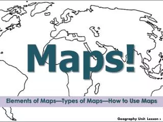
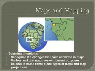
Why are maps important and useful?. FUNDAMENTALS OF SOCIAL STUDIES. Getting to know MAP Key Terms. MAPS!. In order for us to find our way around the world, we need to know how to read maps. We need to know how to use a compass rose. We need to know what latitude and longitude are.

E N D
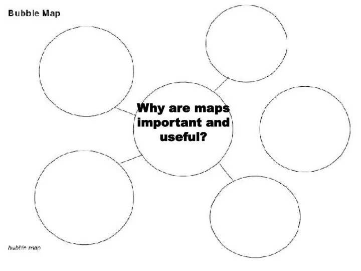
Why are maps important and useful?
FUNDAMENTALS OF SOCIAL STUDIES Getting to know MAP Key Terms
MAPS! • In order for us to find our way around the world, we need to know how to read maps. • We need to know how to use a compass rose. • We need to know what latitude and longitude are. • We need to know where the equator and the prime meridian are. • We need to know the names of the continents and bodies of water.
Compass Rose • What is a compass rose? • A compass rose is a tool. • It tells us where north, south, west, and east are. • You can find this device in many of today’s GPS systems. Never EatSoggyWaffles
What are continents? • A continent is a large landmass partially surrounded by water. • There are 7 continents on our planet. • North America • South America • Africa • Asia • Europe • Australia • Antarctica
Continents (continued) • Almost every continent contains multiple countries. • Australia and Antarctica are not divided into smaller countries.
7 Continents Song • http://www.youtube.com/watch?v=oCW-dJyBrog&feature=related
What are countries? • Countries are areas of land controlled by their own government • North America, South America, Africa, Europe, and Asia are divided into countries. • On maps, the names of the countries are usually in all capital letters. • For example, North America is divided into CANADA, the U.S.A., and MEXICO
What are cities? • Cities are places in a country where many people settle. • It can be as little as a few thousand people and as big as millions of people. • New York is the largest with over 8 million people! • Los Angeles is the 2nd largest city in the U.S. It has about 4 million people.
Oceans, Seas, Lakes, Rivers There are many different bodies of water on our planet. What are the differences? • What are oceans? • What are seas? • What are lakes? • What are rivers?
What is an ocean? • The ocean is a large body of salt water that covers 70% of the earth’s surface. • The ocean is divided into 4 large sections: • Pacific • Atlantic • Indian • Arctic.
What is a sea? • A sea is a large body of salt water that is part of an ocean and partially locked in by land. The Mediterranean Sea is an example.
What are lakes? • A large body of fresh or salt water that is completely surrounded by land. DO not Really Move Not connected to oceans http://www.schooltube.com/video/30d836c242bbe09274c7/Oceans-Seas-Lakes-Rivers
What is a River? • A river is a long body of water that flows toward an ocean or sea. They Flow in one direction The water is always moving
What are lines of longitude and latitude? • Longitude: lines on a map running from the north pole to the south pole and meet at each pole. • The longitudinal line with a degree of 0 is called the Prime Meridian. • Latitude: lines on a map running east and west. • The Equator is the line of latitude with a degree of 0. HORIZONTAL (think of the steps of a ladder)
Lines of longitude only Equator added Other lines of latitude added
longitude latitude
Latitude? MORE LIKE FAT-itude!!!! GET IT???
Lines of Latitude and Longitude • Draw a circle on your paper to represent a globe. • Now draw examples of lines of longitude on a globe and label them. • Draw examples of lines of latitude and label them. • Where is the Prime Meridian? • Where is the Equator?
Where in the LONGITUDE is the LATITUDE????? ORANGE we having FUN?
Orange cut through lines of longitude Orange cut through lines of latitude
Get your Singing Chops Ready Latitude (to the tune of the Wheels on the Bus) I'm climbing the Ladder of latitudes, latitudes, latitudes. I'm climbing the ladder of latitudes, all around the world.
WOO HOO!!Another SongLongitude (to the tune of the Wheels on the Bus) It's a LONG, LONG way from pole to pole, pole to pole, pole to pole It's a LONG, LONG way from pole to pole, so we call those LONGITUDES.
Brain Pop Video • Latitude and Longitude • http://www.brainpop.com/socialstudies/