Download
1 / 9
90 likes | 93 Views
This study analyzes the devastating flash floods that occurred in the Czech Republic in summer 2009, resulting in significant damage and loss of life. The synoptic situation and meteorological conditions contributing to the floods are discussed.

E N D
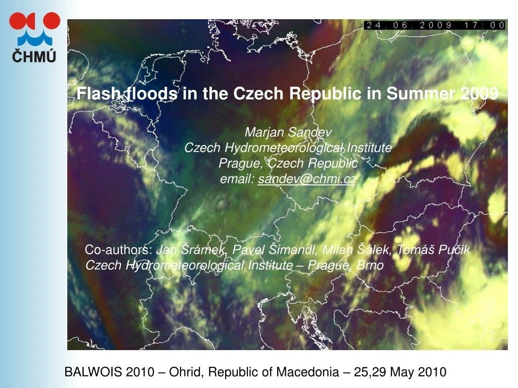
Flash floods in the Czech Republic in Summer 2009 Marjan Sandev Czech Hydrometeorological Institute Prague, Czech Republic email: sandev@chmi.cz Co-authors: Jan Šrámek, Pavel Šimandl, Milan Šálek, Tomáš Pučik Czech Hydrometeorological Institute – Prague, Brno BALWOIS 2010 – Ohrid, Republic of Macedonia – 25,29 May 2010
Fatal subsequences of flash floods in the Czech Republic FLOODS 2009 • Disaster floods occurred in 9 from 14 regions and the state of emergency had to be declared in four of them. • All together 451 communities were affected and 15 people died. • Floods damaged 4830 objects and total damage was estimated to 8,4 milliards Czech crowns (about 325 million Euros). • That makes it the third most tragic flood in modern history of the Czech Republic.
Summer 2009 synoptic situation Typical synoptic situation convenient for initiation and development of convective storm processes over the Czech Republic • on cold fronts bringing moist Atlantic air from the west (Wc) • presence of low pressure over the Central Europe (known as a cyclone over the Central Europe - situation C) • Eastern cyclonic situation (Ec) • Summer 2009 • Eastern cyclonic situation prevailed throughout the whole flash flood period at theend of June and beginning of July 2009. • It was the longest continuous period of • Ec situation occurrence over the Czech Republic since the beginning of classification,meaning 63 years. • It took 12 days, from 22nd June to 3rd July 2009. Ec typical distribution of pressure field and the frontal zones
Summer 2009 synoptic situation • Low pressure field developed over Italy on June 21st. • It moved over the central Balkans next day. • Simultaneously a large area of high pressure developed over the North Sea, and gradually, over the north-west Russia. • During next two weeks it blocked frontal waves, which have progressed through the eastern Balkans and the Black Sea to the north and east of Ukraine and Poland. • Described synoptic situation resulted in continuous eastern flow of moist, warm and unstable air from the Mediterranean and Black Sea region to Central Europe.
Flash flood on 24th June 2009 Favorable conditions for development of convective processes occurred in the Central Europe at the end of June and beginning of July 2009. Storm activity, in some days very intense, was recorded almost daily in the Czech Republic during the period of two weeks. Intense storm activity sometimes accompanied by severe rainstorms caused flash floods • From meso-scale point of view, formation and development of storms was almost identical in many cases. • Difference was sometimes in the mechanisms of convection initialization (fronts, line of instability, orography), or in local conditions (previous precipitations, saturation of the soil, presence of low clouds, etc.). • Significantly different was a flash flood that hit Nový Jičín and its vicinity in the evening hours of 24th June 2009.
Flash flood on 24th June 2009 Basic characteristic • according to radar measurements storms in the eastern part of the Czech Republic were not extremely intense, but rather a dimensionally small cells with reflectivity of 50 dBZ or less. • they were organized almost linearly on the line of convergence and progressed slowly to the southwest. • the main cause of flooding was the fact that these cells renewed and progressed repeatedly over the same territory, which is usually called as "train effect" or "knock-on effect."
Flash flood on 24th June 2009 Basic characteristic • development and initiation of thunderstorms were affected by local orographical conditions of the Moravian Gate and surrounding highlands, where northern and north-eastern flow also led to orographic updraft movements. • advection of instabilityhumid air masses from the northeast. • absence of stronger pool of cooler air ("cold pool") can cause a slower progress of storms away from the line of convergence and increase precipitation amounts of storms. • warm precipitation generation processes contributed partly to the storm generation. That could further increase the effectiveness of storm cells precipitation.
Conclusions • Generaly:The period of storm precipitation in the end of June 2009 was extraordinary. • More factors combined adversely (including the distribution of pressure formations and its almost stationarity, high temperature and humidity of air masses etc.); • It resulted in nearly 14 days of strong storms, not only in the Czech Republic, but also in its neighborhood; • An analysis of rainfall extremity showed that on many stations rainfall totals significantly exceeded a theoretical 100-year value, especially for the duration of 3 to 6 hours. • Flash flood on 24th June 2009: • According to radar measurement developed storms were not particularly intense, but rather dimensionally small cells organize almost linearly and repeatedly crossed over the same territory; • Exceptional rainfall accumulation was supported by the high precipitation efficiency of storms caused by advection of unstable humid air masses from northeast. • Models: • are able to predict several days in advance situation prone to the development of convection, and thus storm activity; • through temperature and pressure fields and so-called storm indices fields numerical models can predict probability of severe convection and torrential rainfall; • may also suggest areas (regions) where storms are likely to occur, and in some cases also expected its intensity, but… • …are not able to precisely forecast (and localize) individual intense rainstorms affecting small areas and developing very quickly!!!
Thank you for your attention Final remark: At the begining of the last week teritory of Czech Republic (eastern part – Moravia and Silesia) was again affected by disaster floods…