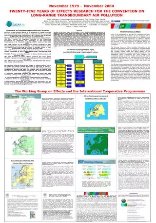
Download
1 / 11
110 likes | 303 Views
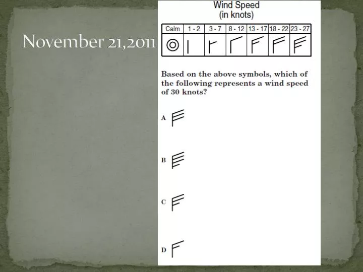
November 21,2011. Objective: practicing using and making station models Test Next Friday. Agenda: Air masses and Front notes Go over Homework Lab: Station Models. Air Masses and Fronts. What is an Air Mass?.

E N D
Objective: practicing using and making station models • Test Next Friday • Agenda: • Air masses and Front notes • Go over Homework • Lab: Station Models
What is an Air Mass? • This is a large body of air in the troposphere with similar temperature, pressure, and humidity.
What is a Source Region? • Air masses form when air stagnates over a part of the earth's surface. The region where the air mass is formed is called the source region. • Poles = Cold Equator = Warm • Land = Dry Water = Humid
These air masses are represented by letters: • c = Continental = dry • m = Maritime = humid • P = Polar = cold • T = Tropical = warm • cP = Dry cold mP = Humid cold • mT = Humid warm cT = Dry warm
The most common in Virginia • cP and mT.
Lows and highs (Pressure) • The wind will blow toward the center of the low. • The coriolis effect causes the air around a low to rotate counterclockwise.
The wind will blow out from the center of the high. • The winds around a high will rotate clockwise.
Fronts • This is the dividing line between two different air masses. • Cold front - This causes the warm air to rise very quickly. It is shown on a map by a line of triangles. • Warm front - The warm air rises slowly. It is shown by a line of 1/2 circles. • Occluded Front -This is when a cold front catches up with a warm front. This is shown by a combo of triangles and 1/2 circles. • Stationary Front -This is a front that is not moving. It is also shown by a combo of triangles and 1/2 circles.
Most precipitation occurs on a front. • If air temperature and dew point temperature get closer together, the chance of precipitation increases.