Download
1 / 21
210 likes | 458 Views
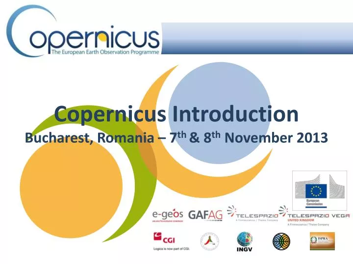
Copernicus Introduction Bucharest, Romania – 7 th & 8 th November 2013. Contents. Introduction GMES Copernicus Six thematic areas Infrastructure Space data An introduction to Remote Sensing In-situ data Applications Summary & Questions. Introduction. GMES Copernicus

E N D
Copernicus IntroductionBucharest, Romania – 7th & 8th November 2013
Contents • Introduction • GMES Copernicus • Six thematic areas • Infrastructure • Space data • An introduction to Remote Sensing • In-situ data • Applications • Summary & Questions
Introduction • GMES Copernicus • "By changing the name from GMES to Copernicus we are paying homage to a great European scientist and observer: NicolausCopernicus” – Antonio Tajani, European Commission Vice President • Copernicus – Understanding our planet • European Programme to collect data and provide information • Enhance Safety • Contribute to Europe’s strategy for growth and employment • Monitor climate change • Manage natural resources • Air quality • Optimise agricultural activities • Promote renewable energy • Disaster management • Emergency management
Introduction continued • Six thematic areas • Operational: • Land monitoring • Emergency management • Pre-operational: • Atmosphere monitoring • Marine monitoring • Development Phase: • Climate change monitoring • Security services • Copernicus Introduction GIO Land
Remote Sensing Introduction • Active vs Passive remote sensing • Resolution • Medium-low resolution • Land cover monitoring • Agriculture • Coastal dynamics • Weather MERIS image showing Hurricane Frances passing near Haiti and the Dominican Republic, acquired 1 September 2004 Resolution approximately 1200 metres Image: Processed by Brockmann Consult for ESA
Remote Sensing Introduction Pléiades Satellite Image – Central Park, New York, May 2012. Image: Astrium, CNES 2012 • Active vs Passive remote sensing • Resolution • Very High Resolution (VHR) • Urban area monitoring • Security applications
Remote Sensing Introduction • Active vs Passive remote sensing • Resolution • Orbits • Near-polar (~90° inclination) • Equatorial (0° inclination) • Sun-synchronous • Geostationary
Infrastructure – Space Data • Contributing Missions • 30 existing or planned • 5 categories • Synthetic Aperture Radar (SAR) Sensor transmits a pulse Satellite receives the backscattered echoes Returned signals from Earth’s surface are stored Digital Elevation Models can be constructed TanDEM-X
Salt flats of Salar de Uyuni, South America Image: DLR Salar de Uyuni, Image: DLR
Infrastructure – Space Data • Optical sensors • Passive Remote sensing • Sensors detect natural radiation emitted/reflected from the Earth’s surface RapidEye image of Moscow, Russia Image: RapidEye False-colour composite of forest fires in southern France, summer 2003 Image: CNES SPOT5 Image: CNES
Infrastructure – Space Data • Altimetry systems • Active sensor using Radar • Precise measurements of the satellites height above the ocean by measuring the time and interval between transmission and reception of very short electromagnetic pulses • Applications • Sea-surface height (ocean topography) • Lateral extent of sea ice • Altitude of icebergs above sea level • Ice sheet topography • Land topography • Sea-surface wind speeds • Wave heights Measuring the freeboard of ice Image: ESA Arctic applications Cryosat-2 Image: ESA
Infrastructure – Space Data • Radiometry • Advanced Along-Track Scanning Radiometer (AATSR) – ENVISAT • Optical and Infrared sensor • Primary mission • Sea Surface Temperature • Ocean processes • Operational applications e.g. meterology • Can also be used for: • Land Surface Temperature • Clouds and Aerosols • Cryosphere AATSR Global sea-surface temperature data map
Infrastructure – Space Data • Spectrometry • Passive Remote Sensing • GOMOS & SCIAMACHY – Envisat • GOME – ERS-2 • No longer operational • Medium resolution • Atmospheric chemistry • Air quality (Ozone) • Clouds • Trace Gases • 2010-2011 changes in atmosphere
Sentinels • Sentinel-1 • Radar (SAR) imagery; all-weather, day/night for land and ocean • Polar-orbiting pair • Coverage • Europe and Canada’s main shipping route every 1-3 days • Data • Delivery within an hour of acquisition • Continue heritage of Envisat and Radarsat • Objectives/products • Sea-ice extent • Sea-ice mapping • Oil-spill monitoring • Forest, water and soil management
Sentinels • Sentinel-2 • High-resolution optical imagery for land services • Visible, NIR, SWIR (comprising 13 spectral bands) • Coverage • 5-day revisit time • Large swath • High-spatial resolution • To continue heritage of Landsat and SPOT • Objectives/products • Land-cover maps • Land-change maps • Chlorophyll index • Flood/volcanic eruptions/landslide monitoring
Sentinels • Sentinel-3 • High accuracy, optical, radar and altimetry for marine and land services • Radiometer (SLSTR – based on Envisat’s, AATSR) • Ocean and Land Colour Instrument (OLCI – based on Envisat’s MERIS • Dual-frequency Synthetic Aperture Radar (SRAL – based on CryoSat) • <2 day revisit time at equator for OLCI, <1 day for SLSTR • To continue heritage of ERS-2 and Envisat • Objectives/products • Sea-surface topography • Sea-/land- surface temperature • Ocean-/land- surface colour • Environmental and climate monitoring
Sentinels • Sentinel-4 • Payload on Meteosat Third Generation (MTG) for atmospheric composition monitoring • Ultraviolet Visible Near-infrared (UVN) spectrometer • InfraRed Sounder (IRD) • Will include data from other satellites • Sentinel-5 • Payload embarked on a MetOp Second Generation Satellite for atmospheric composition monitoring • To bridge gaps between Envisat, Sciamachy instrument and Sentinel-5 launch • Objectives/products • Atmospheric variables • Air quality • Solar radiation • Climate monitoing
Infrastructure – In-situ Data • Main use of in-situ data is for calibration and validation of satellite data • Reduce bias of satellite-derived data • Reduce the need for high radiometric calibration • Maximise/enhance the effectiveness of satellite data • Constrain models (data assimilation) • European Environment Agency (EEA) led work for Copernicus under the FP7 GMES In-Situ Coordination “GISC” project (finished October 2013)
GMES In-situ Coordination – GSIC Goals: • To document the in-situ data required by the services • To identify gaps • To design an innovative and sustainable framework for open access to in-situ data • Monitoring networks currently provide robust integrated information and calibrate and validate the data from satellites • Maps • Ground-based weather stations • Ocean buoys • Air quality monitoring networks
Feedback Forms & Questions