Download
1 / 34
430 likes | 739 Views
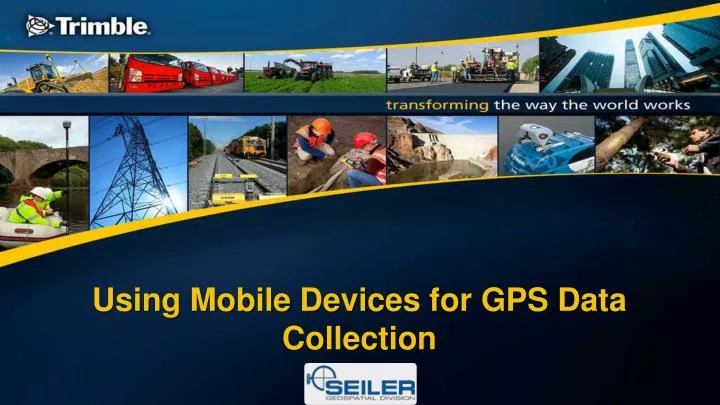
Using Mobile Devices for GPS Data Collection. Seiler is…. What is…. What is Cloud Computing. Cloud Computing is a general term used to describe a new class of network based computing that takes place over the Internet,

E N D
What is Cloud Computing • Cloud Computing is a general term used to describe a new class of network based computing that takes place over the Internet, • A collection of networked hardware, software and Internet infrastructure. • Using the Internet for communication and transport provides hardware, software and networking services to clients or mobile users. • These platforms hide the complexity and details of the underlying infrastructure from users with simple graphical interfaces.
What is Cloud Computing? • In addition, the platform provides on demand services, that are always on, anywhere, anytime and any place. • Pay for use and as needed • Scale up and down in capacity and functionality. • The hardware and software services are available to • general public, enterprises, corporations and businesses markets. • Downloadable to mobile computing devices, i.e. phones, tablets, handhelds GPS devices, laptops, etc.
Cloud Summary • Think of Cloud computing like an umbrella used to refer to Internet based services and development • A number of characteristics define cloud data, applications services and infrastructure: • Remotely hosted: Services or data are hosted on remote infrastructure. • Ubiquitous: Services or data are available from anywhere. • Commodity: The result is a utility computing model similar to that of traditional utilities, like gas and electricity - you pay for what you would want!
Trimble TerraFlex Field to Cloud Data Collection
Trimble TerraFlex Basics • Cloud based solution for mobile field data collection. • Works on iOS and Android. • Subscription based. • User centric.
TerraFlex on Trimble hardware • Can work on the • Geo7 and Geo6000 • Juno 3 and 5 • Utilizes real time networks. • Integrate a laser range finder.
The TerraFlex Solution • A software platform for field data collection • Cloud: Data, Project, and User Management • Form template definition and management. • Project creation and assignment. • User management. • Data management and import-Arc XML /export- Arc XML,KML & KMZ, and CSV • Mobile: Data Collection and Syncing • Form fulfillment • Collect Feature • Dynamic syncing
Mobile Data Collection • Keep Data Organized • Group field data collection assignments into projects and assign users too individual projects. • Keep in Sync • Field data is automatically synced to central server, streamlining office operations and increasing productivity and cost savings. Stay in field. • Work Anywhere • Data collection is fully functional offline. When back in cell coverage, data automatically syncs back to office.
Office Operations • Fully Managed Database Administration • No need to focus on managing the database. It is done for you to allow you to focus on daily tasks. • Streamlined Data Management • Projects can be viewed with spatial or data views. User can sort, filter, and export by form attributes to manage large datasets. • Quick Template Set Up • Drag and drop interface for easy form template creation. Group and organize fields for simple navigation of forms for quick data entry. • Form Versioning • AS project needs change over time, data integrity is ensured. Forms can be edited and sent to team as project requirements change • Manage the team • Administrators have the ability to set up user permissions that allow varying levels of access to field and office components.
How Do You Get Started Set Up A TerraFlex Cloud Account Set up your Data Collection Projects Set Up on Your Users Field Devices
Trimble TerraFlex Workflow Create and Assign Manage Publish Sync Collect
Trimble Connect Work Assignment/ Data Collection -Cloud Management
Trimble Connect • Provides digital and aerial maps of the service area and the assets / locations of interest. • Enables dispatching of resources to a location(s) and / or to an asset(s) for completion of different forms of work including inspections, repairs, maintenance and data gathering. • Provides progress information from the field enabling the work manager to make informed decisions.
Trimble Connect Mobile App • Bring spatially accurate asset maps into the field. • Operate Online and offline - enabling the field crew to continue working when bandwidth is unavailable. • Run on smart phones, tablets and Trimble ruggedized GPS accurate hardware. • Include photographs, lines, points and polygons in the work report from the field. • Use Workflow rules to make gathering data straightforward and simple.
Trimble Connect Cloud App • Embedded Trimble and ESRI technology for optimally accurate spatial data. • Work in a web browser - allowing access from anywhere. • Display the most recent status of crews and work at all times. • Dispatch work to crews quickly and easily. • Easy and fast to setup.
Leverage Esri ArcMap tools • Connect to the cloud via secured map services. • Manage your network assets locally and synchronize GIS updates to the cloud. • View and analyze GIS data collected using Trimble Connect directly in ArcMap. • Build reports and create graphs using built-in ArcMap tools
Trimble Connect Core Apps included in the standard license Inspection GIS Map Mapping Maintenance Water Mapper Hydrant Inspector Leak Repair Map Book Wastewater Mapper Valve Inspector Incident Repair Stormwater Mapper Manhole Inspector Meter Change-out
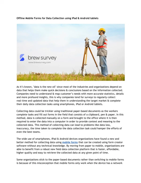
From field to final reports • Developed by Geospatial Experts, Geo Jot • Can be used on Apple and Android smart phones and tables for quick data collection in field. • Automatically transfer photos and data to the office via the cloud. • Process data in the office for creating reports, maps, and database input. • Manage teams; add, revoke, and transfer licenses between Apple and Android devices.
Applications • Pole audits • Asset location & condition • Bridge Surveys • Disaster Response • Compliance Monitoring
Team Focused • Simple app interface for minimal training • Create task lists in office. • Pick lists endure accurate and consistent data. • Email lists to field teams. • Transfer data via the cloud to office automatically.
Data management • Data management tool • Enforce consistency and quality standards. • Create water marked photos. • Produce customizable reports- Word, PDF, HTML. • Generate maps • ESRI shapefiles, Geodatabases • ArcExplorer files • Run inside ArcGIS • Create Google Earth files • Prepare data for input into database- .csv and MS Access files
Database & Systems Integration • QA/QC data. • Database ready data for:Oracle, SQL Server, IBM DB2, MS Access. • Photo data ready for enterprise systems:SAP, Asset management, ESRI Enterprise Geodatabase, IBM Maximo. • Map Layers/encoded photos.
A GPS Tool • Increases GPS Accuracy on iPhones and iPads. • Display GPS location and accuracy on screen. • GPS accuracy warning. • GPS lock functionality. • Integrate laser rangefinders on Androids.
Data Collection • Collect data and photos with the greatest accuracy from the equipment your team already owns or will own. • If your field staff can use their own phone or tablet, they will be able to use this app. • Share attribute lists between devices for consistent data collection. • Quickly upload data for QA/QC and processing.
Take maps with you • Allows user to take maps from off to the field via a smart phone or tablet. • Prepare map with ArcGIS Desktop and push to cloud. • Take your maps and data offline, and sync your collected information once reconnected.
Data Collection • Find places, plan routes, and get directions. • With map driven forms you improve data quality. • Share photos and videos. • Collect points, lines, and area features. • Sync data back to ArcGIS.com
Your Choice of Mobile Device in the Field Leverage Trimble’s ruggedized high accuracy GPS handheld devices. Or bring your own device (BYOD)
Progression FirstIntroduce new users to the benefits of mobile data collection. Then Move users up the value chain as their needs become more sophisticated.
Questions? Tom RogersMapping Sales ManagerGeospatial Division Seiler Instrument 900 Oakmont Lane, Suite111, Westmont, IL 60559 O: 630-321-0039 x 24 M: 630-441-6838 E: trogers@seilerinst.com Michael DeMory Mapping Sales Representative Seiler Instrument 5454 Harrison Park Lane Indianapolis, IN 46216 O: 317-545-7090 M: 317-690-8107 E: mdemory@seilerinst.com