Download
1 / 11

E N D
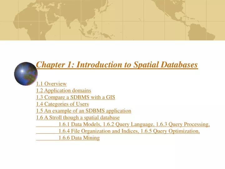
Chapter 1: Introduction to Spatial Databases1.1 Overview1.2 Application domains1.3 Compare a SDBMS with a GIS 1.4 Categories of Users1.5 An example of an SDBMS application1.6 A Stroll though a spatial database 1.6.1 Data Models, 1.6.2 Query Language, 1.6.3 Query Processing, 1.6.4 File Organization and Indices, 1.6.5 Query Optimization, 1.6.6 Data Mining
Value of SDBMS • Traditional (non-spatial) database management systems provide: • Persistence across failures • Allows concurrent access to data • Scalability to search queries on very large datasets which do not fit inside main memories of computers • Efficient for non-spatial queries, but not for spatial queries • Non-spatial queries: • List the names of all bookstore with more than ten thousand titles. • List the names of ten customers, in terms of sales, in the year 2001 • Spatial Queries: • List the names of all bookstores with ten miles of Minneapolis • List all customers who live in Tennessee and its adjoining states
Value of SDBMS – Spatial Data Examples • Examples of non-spatial data • Names, phone numbers, email addresses of people • Examples of Spatial data • Census Data • NASA satellites imagery - terabytes of data per day • Weather and Climate Data • Rivers, Farms, ecological impact • Medical Imaging • Exercise: Identify spatial and non-spatial data items in • A phone book • A cookbook with recipes
Value of SDBMS – Users, Application Domains • Many important application domains have spatial data and queries. Some Examples follow: • Army Field Commander: Has there been any significant enemy troop movement since last night? • Insurance Risk Manager: Which homes are most likely to be affected in the next great flood on the Mississippi? • Medical Doctor: Based on this patient's MRI, have we treated somebody with a similar condition ? • Molecular Biologist:Is the topology of the amino acid biosynthesis gene in the genome found in any other sequence feature map in the database ? • Astronomer:Find all blue galaxies within 2 arcmin of quasars.
What is a SDBMS ? • A SDBMS is a software module that • can work with an underlying DBMS • supports spatial data models, spatial abstract data types (ADTs) and a query language from which these ADTs are callable. Typical types supported include points, edges, polyline, polygons, regions,… • supports spatial indexing, efficient algorithms for processing spatial operations, and domain specific rules for query optimization • Example: Oracle Spatial data cartridge, ESRI SDE • can work with Oracle 8i DBMS • Has spatial data types (e.g. polygon), operations (e.g. overlap) callable from SQL3 query language • Has spatial indices, e.g. R-trees
SDBMS Example • Consider a spatial dataset with: • County boundary (dashed white line) • Census block - name, area, population, boundary (dark line) • Water bodies (dark polygons) • Satellite Imagery (gray scale pixels) • Storage in a SDBMS table: create table census_blocks ( name string, area float, population number, boundary polygon ); Fig 1.2
Spatial Data Types and Traditional Databases • Traditional relational DBMS • Support simple data types, e.g. number, strings, date • Modeling Spatial data types is tedious • Example: Figure 1.4 shows modeling of polygon using numbers • Three new tables: polygon, edge, points • Note: Polygon is a polyline where last point and first point are same • A simple unit sqaure represented as 16 rows across 3 tables • Simple spatial operators, e.g. area(), require joining tables • Tedious and computationally inefficient • Question. Name post-relational database management systems which facilitate modeling of spatial data types, e.g. polygon.
Definition Spatial Database A spatial database is a collection of spatial data types, operators, indices, processing strategies, etc. and can work with many post-relational DBMS as well as programming languages like Java, Visual Basic etc.
How is a SDBMS different from a GIS ? • GIS is a software to visualize and analyze spatial data using spatial analysis functions such as • Search Thematic search, search by region, (re-)classification • Location analysis Buffer, corridor, overlay • Terrain analysis Slope/aspect, catchment, drainage network • Flow analysis Connectivity, shortest path • Distribution Change detection, proximity, nearest neighbor • Spatial analysis/Statistics Pattern, centrality, autocorrelation, indices of similarity, topology: hole description • Measurements Distance, perimeter, shape, adjacency, direction • GIS uses SDBMS • to store, search, query, share large spatial data sets
How is a SDBMS different from a GIS ? • SDBMS focusses on • Efficient storage, querying, sharing of large spatial datasets • Provides simpler set based query operations • Example operations: search by region, overlay, nearest neighbor, distance, adjacency, perimeter etc. • Uses spatial indices and query optimization to speedup queries over large spatial datasets. • SDBMS may be used by applications other than GIS • Astronomy, Genomics, Multimedia information systems, ... • Will one use a GIS or a SDBM to answer the following: • How many neighboring countries does USA have? • Which country has highest number of neighbors?
1.7 Summary • SDBMS is valuable to many important applications • SDBMS is a software module • works with an underlying DBMS • provides spatial ADTs callable from a query language • provides methods for efficient processing of spatial queries • Components of SDBMS include • spatial data model, spatial data types and operators, • spatial query language, processing and optimization • spatial data mining • SDBMS is used to store, query and share spatial data for GIS as well as other applications