Download
1 / 14
140 likes | 269 Views
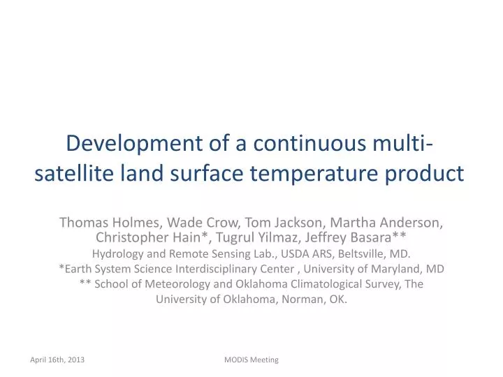
Development of a continuous multi-satellite land surface temperature product. Thomas Holmes, Wade Crow, Tom Jackson, Martha Anderson, Christopher Hain*, Tugrul Yilmaz, Jeffrey Basara** Hydrology and Remote Sensing Lab., USDA ARS, Beltsville, MD.

E N D
Development of a continuous multi-satellite land surface temperature product Thomas Holmes, Wade Crow, Tom Jackson, Martha Anderson, Christopher Hain*, Tugrul Yilmaz, Jeffrey Basara** Hydrology and Remote Sensing Lab., USDA ARS, Beltsville, MD. *Earth System Science Interdisciplinary Center , University of Maryland, MD ** School of Meteorology and Oklahoma Climatological Survey, The University of Oklahoma, Norman, OK. MODIS Meeting
Overview • Objective.Develop a method to fuse temperature observations from multiple satellite sensors to create a spatially and temporally continuous dataset of diurnal land surface temperature (LST). • Core satellite for this work is AMSR-E on Aqua, with support from WindSat, TRMM-TMI, SSM/I. All have a Ka-band 37 Ghz microwave radiometer. • Bridging gap between TIR and MW LST observations by using geostationary thermal infrared from METEOSAT MSG-9. • MODIS is only a small part of our research at this point (interest in diurnal temperature cycle makes geostationary TIR data more appropriate) • This presentation gives an overview of our approach to temperature merging. MODIS Meeting
Overview Problem. • Structural differences in temperature data sets (diurnal timing, amplitude and absolute bias) are a barrier to temperature merging. • In particular when comparing fundamentally different technologies (MW vs TIR, Satellite Vs Model). Our approach. • Deal with structural differences in a semi-empirical, coherent manner. Reduce random error with a Kalman filter. • Emphasis on aligning observations in time to correct for depth differences • Analysis at 0.25 degree spatial resolution . Example. • Spatial patterns in timing of diurnal temperature cycle of Ka-band, TIR and NWP model output. MODIS Meeting
Rationale • LST observations are available from many satellites, and at multiple times during the day. • Microwave and thermal infrared sensors have complementary characteristics: cloud tolerance Vs spatial resolution trade off • For land there is yet to be a good integration of these resources to provide accurate diurnal temperature cycle measurements for evaporation, precipitation retrievals MODIS 11C1 LSTv005 Solid lines represent fitted DTC. MODIS Meeting
Merging LST observations with NWP model Approach: • Reduce structural differences in: • Timing (reconcile sensing/model depth) • Bias (determine emissivity) • Amplitude (cloudiness, soil wetness) as much as possible based on physical modeling • Second, use Kalman filters to reduce random error in amplitude and daily minimum temperature. • The result is a continuous land surface temperature that is better than NWP or observations separate and can easily be adapted to application requirements MODIS Meeting
Low Vegetation High Vegetation • Validation with Fluxnet skin temperature calculated from upwelling longwave radiation measurements • Analysis with year of data shows large impact of addressing structural errors • Impact of Kalman Filter is much smaller but robust • For global implementation, the structural differences are studied in more detail Holmes, T. R. H., W. T. Crow,M. Tugrul Yilmaz, T. J. Jackson, and J. B. Basara (2013), Enhancing model-based land surface temperature estimates using multiplatform microwave observations, J. Geophys. Res. Atmos., 118, doi:10.1002/jgrd.50113. MODIS Meeting
Timing of Diurnal Temperature Cycle (DTC) • Differences in the timing of the DTC are explored between Ka-band, TIR, and NWP data. • A model of the DTC is fitted to the data and optimized on the timing of the DTC. • Data selection results in ~ 100 days used per grid cell • Result is a single value for the phase for year 2009, per 0.25o grid box. • Main characteristics of the diurnal temperature cycle (Gottsche and Oleson, 2001),and the definition of the phase of the DTC (φ). MODIS Meeting
Timing of Diurnal Temperature Cycle (DTC) • NWP: Tsurf 2D analysis fields from GMAO’s MERRA • TIR: Thermal Infrared LST from Meteosat MSG-9 • MW:A combination of Ka-band observations from low-earth orbiting satellites • MW sampling just enough to constrain DTC model, and determine timing of DTC • Ka-band data not corrected for emissivity, (not necessary to determine timing) Solid lines represent fitted DTC. MODIS Meeting
Timing of Diurnal Temperature Cycle (DTC)Spatial Patterns • All sets agree on delay of DTC timing in tropics • MERRA peaks 50 minutes before TIR • Ka-band has a large additional delay in dry sandy regions. MODIS Meeting
Timing of Diurnal Temperature Cycle (DTC)Spatial Patterns • All sets agree on delay of DTC timing in tropics • MERRA peaks 50 minutes before TIR • Ka-band has a large additional delay in dry sandy regions. Deserts 50 min D D MODIS Meeting
Ka-band sensing depth • Ka-band has a large additional delay in dry sandy regions. • Ka-band Sensing depth increases from 1 mm to 1 cm or more in very dry soil • Together with decrease in harmonic damping depth, this can easily explain an hour of delay in timing of measured Ka-band Timing difference, Ka – TIR MODIS Meeting
Timing of Diurnal Temperature Cycle (DTC)Conclusion • DTC timing can reliably be determined from temporally sparse datasets • Spatial patterns in timing are explainable based on consideration of land surface type and basic physics describing the penetration depth of microwave observations. • over tropical forest the timing is delayed by about 45 min relative to the baseline in both satellite data sets, as it is in MERRA Tsurf • MERRA models peak 50 minutes before TIR observations • With these maps we can now attempt to adjust for these structural differences in temperature estimates in data merger applications. • Submitted to HESS: hess-2013-157 MODIS Meeting
Concluding Remarks • In order to optimally merge LST products we need to understand the structural differences between the various products • We have formulated an approach that makes it possible to merge Ka-band and TIR LST. • Timing is studied at global scale, Amplitude is next • TIR and MODIS LST will play a more important part in our research as we move to higher spatial resolution. • Can MODIS LST be used to improve Ka-band emissivity estimation to get absolute error? MODIS Meeting
Acknowledgement Development of a continuous multi-satellite land surface temperature product This work was funded by NASA through the research grant “The Science of Terra and Aqua” (NNH09ZDA001N-TERRAQUA). We thank the Global Modeling and Assimilation Office (GMAO) and the GES DISC (both at NASA Goddard Space Flight Center) for the dissemination of MERRA MODIS Meeting