Download
1 / 18
200 likes | 401 Views
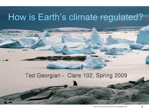
Earth’s Climate Systems. What is the difference between weather and climate?. Weather is the condition of the atmosphere at any given place. Climate is the consistent, long-term behavior of weather over time. Climate Factors. H. Statistical Analysis of 30 years of data Insolation

E N D
What is the difference between weather and climate? • Weather is the condition of the atmosphere at any given place. • Climate is the consistent, long-term behavior of weather over time.
Climate Factors • H Statistical Analysis of 30 years of data • Insolation • Temperature • Pressure • Air Masses • Precipitation H L
5 Climate Regions • Tropical • Dry • Mid latitude • High Latitude • Highlands
Tropical Climates • Tropical Wet • Avg temp 80 degrees F • Daily rain • 80 in/year • Wildlife abundant • Tropical rainforest veg • Amazon Basin, S. Am, Asia Caribbean, Africa • Tropical Dry • Dry winters, wet summers • High yearly temps • Savannas • Africa, central - S Am., Australia
Dry Climates • Desert • < 10 in. rain/yr • Day/night temps vary • 1/3 of world’s land • Veg = scrub, cactus • Dunes, rocky surfaces • Where??? • Steppes • Dry, treeless • 10 – 20 in. rain/year • Where???
Mid latitude Climates • Marine West Coast • 30 - 60 N/S • Western coastlines • Cool summers, cool damp winters • Veg = Coniferous, Deciduous, mixed forest • Mediterranean • Mild, rainy winters • hot., sunny summers • Veg = woody bushes, short trees, • Where?
Humid Subtropical • Short, mild winters • Year round rain, high humidityb/c of oceans • Veg = prairies, forests • Where? • Humid Continental • Inland locations, further N, longer harsher winters • Veg = Mixed forests – but evergreens out# in N
High Latitude • Subarctic • Bitter-cold winters • Summers short/cool • > temp vary variation • permafrost • Veg = needles evergreens • Tundra • Winter darkness • No roots • Veg = Low shrub, short grasses, mosses • Ice Caps • Snow, ice 2 miles thick!
Highland • Natural vegetation varies with elevation • High Mountain areas
What is the Köppen System? • Widely used system that classifies climate according to: • annual and monthly averages of temperature • annual and monthly averages of precipitation • Devised by Walter Köppen (1846-1940); updated and modified by Köppen until his death. • Continues to be modified by geographers today!
Köppen’s major climates: • Tropical Climates (A) • Dry Arid and Semiarid Climates (B) • Mesothermal Climates (C) – mild winter • Microthermal Climates (D) – severe winter • Polar Climates (E) • Highland (H) http://www.uwmc.uwc.edu/geography/100/koppen_web/koppen_map.htm
Climate subcategories • Each category is further divided into sub-categories based on temperature and precipitation. • For example, in a Dfa climate: • D = microthermal climate • f = feucht (German for “moist”) • a = warmest avg. summer month above 22° C • Dfa = humid-continental, hot-summer climate in the microthermal D category.
Pros: Uses temperature and precipitation which are easy to measure Temperature and precipitation directly affect humans. Corresponds with vegetation regions. Cons: Only uses averages which does not take into account subtle changes from place to place. Ignores wind, cloud cover, intensity of precipitation, and humidity. The Köppen System: Pros & Cons
Climographs • Graphic means of giving info on mean monthly temperature and rainfall for a select location or station • Usually two parts • Annual temperature curve (red) • Precipitation bars (blue)
Annual Climatology: Green Bay, WI (GRB) Elev: 687 ft Lat: 44o 29'N Long: 88o 08'W Figure 1: Average Temperatures and Precipitation 1971-2000. (NCDC Data)