Download
1 / 31
310 likes | 320 Views
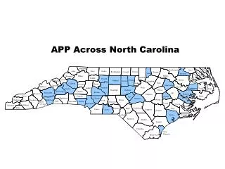
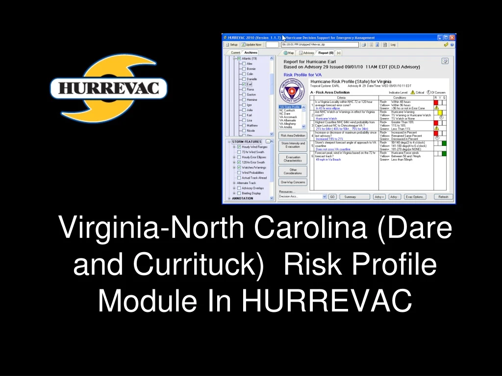
Virginia-North Carolina (Dare and Currituck) Risk Profile Module In HURREVAC. Slide 1. The Risk Profile. A special tool within HURREVAC highlighting information especially important for Virginia (and Dare and Currituck Counties) to consider when under a tropical cyclone threat.

E N D
Virginia-North Carolina (Dare and Currituck) Risk Profile Module In HURREVAC Slide 1
The Risk Profile A special tool within HURREVAC highlighting information especially important for Virginia (and Dare and Currituck Counties) to consider when under a tropical cyclone threat. • What aspects of a forecast situation are of greatest concern? • Has the threat grown since the last forecast?
Program Access • Register at hurrevac.com • Install Hurrevac2010 • Download HES plugins for Virginia and North Carolina (Dare and Currituck)
Risk Profile Setup 1 3 2 (Virginia and North Carolina)
Risk Area Definition Criteria to define the area at risk and quantify the degree of risk to that area.
Storm Intensity and Evacuation Criteria that give guidance on what intensity (SS category) the storm may have when it impacts the area. Storm category is used for determining the type and extent of evacuation, should one be needed.
Evacuation Characteristics Criteria that lead the user toward determining the proper evacuation decision time, based not only on the length of clearance time needed, but on such things as the time of day at which evacuation occurs.
Other Considerations This topic includes other information which may affect the evacuation, such as time of year, and whether other nearby regions are likely to be evacuating.
One Way Concerns This topic is usually available only when the state profile is selected. It considers the problem of whether and when to reverse-lane certain evacuation routes in order to increase capacity.
Thank You!!!! QUESTIONS???