Download
1 / 19
190 likes | 311 Views
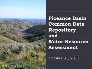
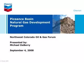
Common Data Repository and Water Resource Assessment for the Southern and Northern Piceance Basin. Northwest Colorado Oil and Gas Forum June 2008 Jude Thomas, Pete McMahon, Catherine Costello, and Kirby Wynn U.S. Geological Survey Maria Pastore, representing West Divide WCD.

E N D
Common Data Repository and Water Resource Assessment for the Southern and Northern Piceance Basin Northwest Colorado Oil and Gas Forum June 2008 Jude Thomas, Pete McMahon, Catherine Costello, and Kirby Wynn U.S. Geological Survey Maria Pastore, representing West Divide WCD
Outline • Brief introduction about the USGS • USGS activities in the Piceance Basin • Southern Piceance Basin • Northern Piceance Basin • Approach, benefits, and products of common water data repository and resource assessment • Brief demo of Web interface to Common Data Repository
USGS Water-Resource Role • Science Agency, non regulatory • Assess the quantity and quality of the Nation’s water supplies • Collect data and conduct water-resources investigations to support local, State, and Federal needs • Maintain nationwide hydrologic-data network and publicly available database
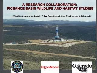
USGS Water Quality Related Activities in the Piceance Basin • Southern Piceance Basin • Common Data Repository and Resource Assessment • USGS funded research proposal looking at the Distribution of Redox Processes and Ground-Water Ages in Aquifers of the Southern Piceance Basin. • Northern Piceance Basin • Common Data Repository and Resource Assessment • Baseline Hydrologic Information Gathering for BLM • Currently are conducting surface water monitoring (water quantity and quality) • Will begin ground water monitoring and assessment in the next few months
Approach for Common Data Repository and Resource Assessment • Assemble existing data from public and private sources • Create relational database, standardize data, and make database accessible via internet • Perform baseline assessment of available water resource data • Develop regional monitoring strategies
Benefits of Common Data Repository and Resource Assessment • Economic • Internally consistent database • Expand database for individual companies, agencies, stakeholders • Reduce data compilation and manipulation time • Improve efficiency of monitoring programs • Management • Understanding leads to management tools (models) and effective best-management practices • Public Outreach • Education and Openness • Regulatory • Regional baseline • Natural variability versus human disturbance
Products of Common Data Repository and Resource Assessment • Common Data Repository, web interface, and assessment report of baseline hydrologic conditions. • Preliminary list of indicator parameters to understand energy effects on regional water resources. • Regional monitoring plan • Streamline existing monitoring programs • Fill data gaps • Maximize utility for spatial and temporal assessment
Demo of Common Data Repository We have created and continue to maintain similar products in the Eagle River, Blue River, Upper Gunnison, and Roaring Fork River watersheds visit the Roaring Fork watershed site at http://co.water.usgs.gov/cf/roaringforkcf/default.cfm The new product will be developed to meet unique interests of the general public, industry, and others
Summary • Broad Collaboration to address questions about water quality • Innovative approach allows willing participants the ability to toss out old assumptions regarding roles and responsibility • Web accessible Common Data Repository • Data synthesis • Baseline Assessment • Regional Monitoring Plan • Gather input from interested parties to develop the best product