Download
1 / 26
260 likes | 265 Views
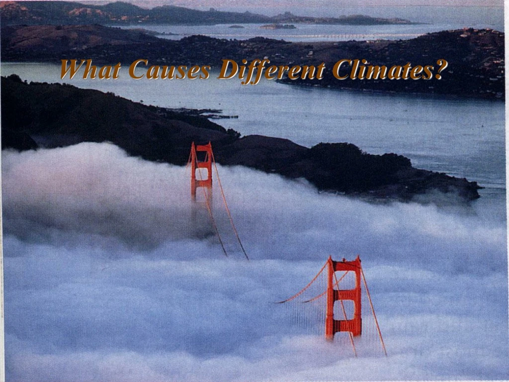
What Causes Different Climates?. Presentation Outline: Significance of climate Global climate controls Short-term climate changes Long term climate changes Human-caused climate change. Map of World Climates. The Significance of Climate. What is the difference between climate and weather?

E N D
Presentation Outline: Significance of climate Global climate controls Short-term climate changes Long term climate changes Human-caused climate change Map of World Climates
The Significance of Climate What is the difference between climate and weather? 1. Climate:the average, year after year conditions of temperature and precipitation in a particular region 2. Weather:the condition of the atmosphere at a certain time and place Powered by the sun, the climate system is a complex exchange of energy and moisture among Earth’s atmosphere.
Global Climate Controls Latitude Elevation Topography Water Bodies Atmospheric Circulation Vegetation
A. Latitude 1. Because the Earth tilts on its axis, and because the earth is spherical the Sun’s rays strike the Earth at different angles. a. as a result, different parts of Earth receive different amounts of solar radiation. Compare area #1 to area #3. Notice in area #3 the given amount of light (and heat) is spread over a larger area, so the energy is less concentrated.
Thetropics receive the most solar radiation because the sun’s rays strike almost directly. Temperatures in the tropics are warm year-round. 4. The temperate zones have moderate conditions. 5. The polar zones receive the least radiation because the sun’s rays strike at a very low angle. Temperatures in polar regions are usually cold.
B. Elevation 1. Elevation is the height above sea level. 2. On average, air temperature drops about 6.5ºC for every 1000 m of altitude. 3. The higher the elevation, the colder the climate 4. Elevation determines the amount of precipitation. -higher elevation typically means increased precipitation Low elevation: Mt. Tam warmer High elevation: Tahoe colder
C. Topography 1. Climates often differ on either side of a mountain. 2. As air rises over a mountain, it cools. As it cools, it condenses, and releases moisture (rain). This is called the windward side. 3. As the dry air flows over the mountain, it descends and warms, usually producing deserts. This is called the leeward side.
Deserts such as the Atacama in Chile are common on leeward sides of mountains. The dry area is Called a rain shadow and can extend for hundreds of km downwind of a mountain range
D. Water Bodies 1. Land gains and loses heat much faster than water. 2. The temperature of a large body of water can influence the temperature of the air above it. 3. Based on other factors certain areas closer to large bodies of water may have a relatively small yearly temperature range. a. example: the California coast vs. the north-eastern seaboard of the U.S.A. 4. Continental interiors have large yearly temperature ranges.
Water Bodies (Continued) 1. Ocean currents can warm or cool the air above. 2. Ocean currents may be considerably warmer or colder than the normal air temperature for that latitude.
E. Atmospheric Circulation 1. There are three basic wind systems in each hemisphere: Polar Easterlies, Northeast or Southeast Tradewinds and Prevailing Westerlies. 2. These winds blow air masses with distinct regions of origin (ie. formed over land or water, formed at certain latitudes). 3. Winds move warm air toward the poles and cool air toward the equator.
F. Vegetation 1. Vegetation influences how much of the sun’s energy is absorbed and how quickly this energy is released, which affects the climate. 2. During transpiration, plants release water vapor from their leaves into the air. 3. Some plants release particles that promote the formation of clouds.
EXAMPLES: World Climates 3. Why cold here? 1. Why varies along equator (dotted line?) 2. Why cold here (where pink)? A.1. Water bodies and Atmospheric circulation (wind)2. Elevation and Topography3. Latitude
RESULT OF LETWAV: Biomes Equator (Not a biome) (Chaparral)
III. Short Term Natural Climate Changes Changes in climate trends, measured in months to years • Seasons • The tilt of the earth’s axis causes different areas of Earth to receive different amounts of solar radiation • This results in variations in daylight, temperature and weather patterns • When the north pole is pointed toward the sun, the northern hemisphere experiences summer and the southern hemisphere experiences winter (A) • During spring and fall, neither pole points toward the sun (B)
2. Volcanic Activity • Volcanic dust can remain suspended in the atmosphere for several years • This blocks incoming solar radiation and lowers global temperatures 1991 eruption of Mt. Pinatubo 1980 eruption of Mt. Saint Helens
3. El Niño • Caused by a warm ocean current that occasionally develops off the west coast of South America- due to shift in wind patterns • Negative Effects of El Nino: • Wet, stormy weather occurs in areas that are normally dry • Drought conditions occur in areas that are normally wet • Violent storms brought to California and the Gulf Coast • Extensive property damage and untold human suffering • Positive Effects of El Nino: • Fewer and less severe hurricanes in the Atlantic ocean regions
Video- El Niño Consequences CNN 2003
Normal Conditions El Niño Conditions Pacific Ocean Pacific Ocean Normal: cool dry climate The cool dry climate becomes warm and wet! Due to winds, Waters are warm in W. Pacific Westerly trade winds weaken and warm water flows east Cold water is transported north from Antarctica. Antarctica
IV. Long Term Natural Climate Changes Changes in climate trends, measured over tens to hundreds of thousands of years • Ice Ages • Glaciers have alternatively advanced and retreated over the past 2 million years • Ice Ages are periods of extensive glacial coverage • Global temperatures drop 5 degrees Celsius on average • Most recent Ice Age ended 10,000 years ago
2. Earth’s Orbit • Every 100,000 years, the shape of Earth’s orbit changes, becoming more elliptical, then more circular • When the orbit elongates, earth passes closer to the sun and temperatures become warmer than normal • When the orbit is more circular, temperatures dip below average
3. Earth’s Axis • The angle of tilt varies from 22.1º to 24.5º every 41,000 years • Changes in angle cause seasons to become more severe • A decreased tilt might cause winters to be warmer than normal and summers to be cooler than normal • Changes in tilt may be responsible for Ice Ages
4. Earth’s Wobble • Over a period of 26,000 years, Earth wobbles as it spins on its axis • Currently the axis points toward the North Star (Polaris) and winter occurs in the northern hemisphere when Earth is closest to the sun • When the axis tilts toward Vega, winter will occur in the northern hemisphere when Earth is farthest from the sun • This will cause warmer summers and colder winters than those we now experience
V. Human-Influenced Climate Change Global Warming From epa.gov [2009]: “For over the past 200 years, the burning of fossil fuels, such as coal and oil, and deforestation have caused the concentrations of heat-trapping ‘greenhouse gases’ to increase significantly in our atmosphere. These gases prevent heat from escaping to space, somewhat like the glass panels of a greenhouse.” YOU will share more details about this issue with the class in a PRESENTATION! Here is an animation of one of the potential impacts of global warming from the Center for Remote Sensing of Ice Sheets and their data on Sea Level rise at: https://www.cresis.ku.edu/research/data/sea_level_rise/index.html