Download
1 / 13
130 likes | 289 Views
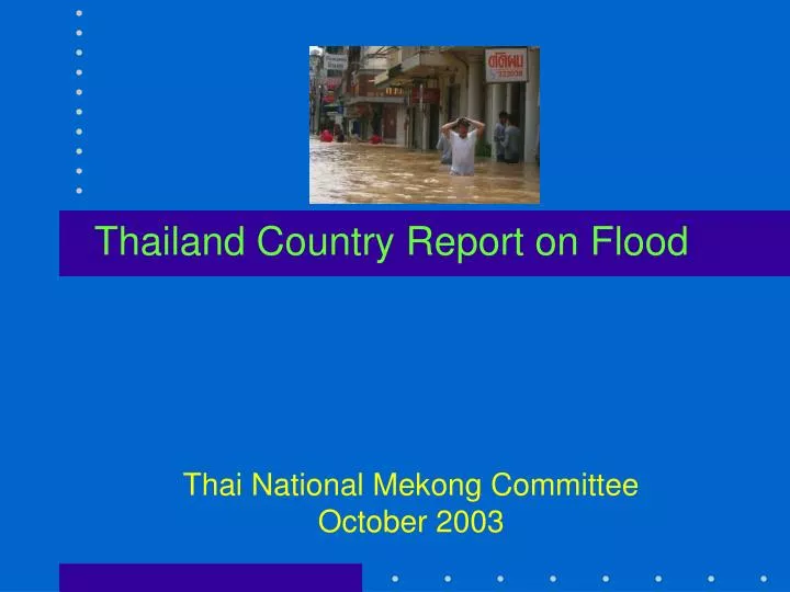
Thailand Country Report on Flood. Thai National Mekong Committee October 2003. Kok. Kong. Chi. Mun. Tonle Sap. Mekong basin in Thailand comprises of 5 sub-b asins:. Lesson l earned.

E N D
Thailand Country Report on Flood Thai National Mekong Committee October 2003
Kok Kong Chi Mun Tonle Sap Mekong basin in Thailand comprises of 5 sub-basins:
Lesson learned • National Water Resources Committee (NWRC) chaired by the Deputy Prime Minister, has responsibility for the overall national water resources • Dept. of Water Resources (DWR), found in Oct 2002, has its power and functions to be a focal point for natural water management & serve as a secretary of NWRC • Past activities: • Selected 15 provinces as flood risk areas • Organized workshops to coordinate with the flood risk provinces, to prepare & integrate plan to solve & mitigate flood, & setup flood mitigation center • Collected & analyzed work plans & projects of each province urgently in order to request budget from the Government. The Government has supported 181 projects, which cover 15 provinces, with the budget of about 624 million Baht.
15 Provinces Flood Risk Areas North:Petchabun, Pichit, Phrae, Sukhothai, and Nakorn Sawan Northeast:Chaiyaphum, Roi Et and Ubol Ratchathani Central:Ang Thong, Nonthaburi, Pathum Thani, and Chanthaburi South:Pattanee, Nakhon Si Thammarat, and Yala
Long-term Implementation Plan • DWR has now completed two projects on water resources management plan including flood problem solving namely Ping Basin & Pasak Basin • Projects for other two basins are on-going • Other seven basins are planed for next year
Recommendations Flood problem solving: - Identify risk area & flood prone - Install flood warning system - Land-use zoning • Improve natural wetland • Institutional strengthening • Improve distribution & drainage system • Providing polder system - Construct diversion canals/tunnels to divert excess water directly to the sea
Recommendations (cont.) Non-structural measures: • Improve water management of existing & natural wetlands • Setup design standards & study on the flood impacts from overall basin structure, review design regulations & review efficiency of all construction works • Floodplain management - land use guidance, identify risk areas & control groundwater extraction - flood forecast & warning system, flood emergency management process (flood encounter system) & recovery measures
Recommendations (cont.) Non-structural measures • Reforestation to protect soil erosion • Promote conservation campaigns for forests, canals, rivers & ditches • Land use zoning • Water fund establishment • Amend relevant laws & regulations • Develop entire basin management
Recommendations (cont.) Structural measures • Install flood protection system in urban areas • Promote the Royal Initiated “Monkey Cheek” (detention pond) Project • Construct cutoff channel/diversion, & remove the runoff obstructions • Construct pumping stations & improve drainage system • Develop tributaries to store/retard flood, develop dikes, & improve river channels • Develop large scale water resources project
Data (1) xx rain gauges Data (2) yy WL gauges Data (3) Reservoir releases Data (4) MRC Mainstream forecasts Agency(3): RID,EGAT Reservoir operation Agency (1): MD Rainfall forecasts Agency (2):DWR,RID Streamflow monitoring Agency(4): DWR,RID,MD Flood forecasts Agency(5): DWR,RID,MD,DDPM Flood warnings Agency (7): RID Damage control Agency (8): DDPM Damage control Agency (6):DWR Damage control Outline of data flow for operational flood forecasting & flood warning