Download
1 / 18
180 likes | 339 Views
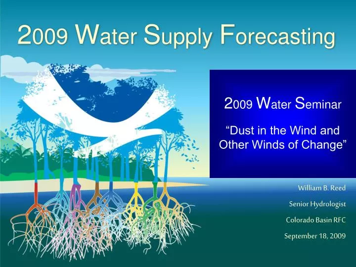
2 009 W ater S upply F orecasting. 2 009 W ater S eminar “Dust in the Wind and Other Winds of Change”. William B. Reed Senior Hydrologist Colorado Basin RFC September 18, 2009. Colorado Basin River Forecast Center. One of 13 River Forecast Centers

E N D
2009 Water Supply Forecasting 2009 Water Seminar “Dust in the Wind and Other Winds of Change” William B. Reed Senior Hydrologist Colorado Basin RFC September 18, 2009
Colorado Basin River Forecast Center One of 13 River Forecast Centers Established in the 1940s for water supply forecasting Three primary missions: 1. Seasonal Water supply forecasts for water management 2. Daily forecasts for flood, recreation, water management 3. Flash flood warning support www.cbrfc.noaa.gov
Forecast: April – July Runoff Volumes (including Green, Upper Colorado, San Juan, and Lake Powell) 99 Water Supply Forecast Points Above Lake Powell Green - Bill Reed Upper Colorado & Lake Powell - Brenda Alcorn San Juan - Tracy Cox April 1st 2009 Forecasts (basin average): UG 80% Y/W 110% Duchesne 75% LG 75% UC (MS) 105% Gunnison 95% Dolores 85% SJ 85% Dillon Res. • Lake Powell • Dillon Res. (headwater) Lake Powell www.nwrfc.noaa.gov/westernwater
Observed snow water equivalent Observed Precipitation Observed Streamflow Modeled Soil Moisture Conditions Primary Forecast Drivers What drives the forecasts ??? Forecasts Begin Jan 1 Forecast Target (April – Jul Volume) Snowpack as the primary driver ~ 35% of seasonal snowpack has accumulated by January 1st. ~ 90% of seasonal snowpack has accumulated by April 1st. J F M A M J J Month:
Colorado - Lake Powell 2009 Water Supply Inflow Forecasts
Colorado - Lake Powell, Glen Canyon Dam Years: 1991-2009 • Because little is known about the future weather (precipitation & temperatures) for the next 7 months. • Only ~ 35% of seasonal snowpack has accumulated Scatterplots First Forecast of Year; scatter plot shows wide spread, R squared = 0.22; R squared is the square of the correlation coefficient, in this case 78% of the variation in forecast volume vs. observed volume is not explained yet. January 1 Official Forecast www.cbrfc.noaa.gov
April 1 Official Forecast Colorado - Lake Powell, Glen Canyon Dam Years: 1991-2009 Scatterplots • Known: • snow on ground (~ 90% of seasonal snowpack has accumulated) • Not Known: • future weather for next four months January 1 Official Forecast Forecast at Beginning of Runoff Season; scatter plot shows less spread, R squared = 0.69 www.cbrfc.noaa.gov
April 1 Official Forecast Colorado - Lake Powell, Glen Canyon Dam Years: 1991-2009 Forecast at Middle of Runoff Season; scatter plot shows little spread, R squared = 0.95 Scatterplots January 1 OfficialForecast June 1 Official Forecast Forecasts: January 1 - 8000 KAF April 1 - 7200 KAF June 1 - 7100 KAF Observed: 7814 KAF Only two months not known. www.cbrfc.noaa.gov
Forecast Evolution Plot Will explain this plot in three steps. 1971-2000 History and Normals Forecast Period Normal Forecast Period Accumulation – Monthly Normals www.nwrfc.noaa.gov/westernwater
Forecast Evolution Plot 2009 Beginning Of Month Exceedence Forecasts For April-July Runoff Volume 1 0% 50% 90% www.nwrfc.noaa.gov/westernwater
Forecast Evolution Plot 2009 Observed Values: 2009 Observed (7814 KAF) Slightly Above June 1st 10% Exceedence Forecast (7720 KAF) 7814 KAF Forecast Period Accumulation – Monthly Observed May runoff was greater than normal. www.nwrfc.noaa.gov/westernwater
Upper Colorado 2009 Water Supply Inflow Forecasts Blue – Dillon Reservoir
Forecast Evolution Plot 2009: 2009 Observed (200 KAF) Is Half Way Between June 1st 50% Exceedence Forecast (185 KAF) and June 1st 10% Exceedence Forecast (215 KAF) 1 0% 50% 200 KAF 90% Forecasts were always low. June runoff was greater than normal. May runoff was greater than normal. www.nwrfc.noaa.gov/westernwater
2009Precipitation 235% 200% Copper Mountain 133% Copper Mountain 193%
Time Series – 4/15 thru 6/15 Dillon Reservoir Inflow Rain ends Light precipitation begins Heavy rain begins High maximum temperatures Minimum temperatures above freezing Copper Mountain Precipitation - Accumulation elevation - 10,450 ft Max means Copper Mountain Temperature - Instantaneous Min means 5/6 5/22 6/3
Forecast Process Inputs to our forecasting process: • Things we do not directly account for: • Direct measurement of soil moisture • Evapotranspiration measurements • Vegetative changes (e.g. beetle kill) • Energy balance (e.g. dust on snow, cloudiness, atmospheric moisture) • Further research required to determine relative importance
Summary Interesting Forecast Year Variation among Basins Big warming during May Wet June with rain at high elevations In general, the April 1 50% exceedance forecasts were slightly below the final observed runoff volumes
Bill Reed CBRFC Senior Hydrologist Phone: 801.524.5130 Email: bill.reed@noaa.gov www.cbrfc.noaa.gov