Download
1 / 28
290 likes | 465 Views
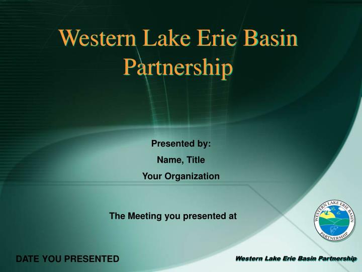
Western Lake Erie Basin Partnership. Presented by: Name, Title Your Organization. The Meeting you presented at. DATE YOU PRESENTED. Objectives. About Lake Erie Sources and Causes of Impairment History of the WLEB Partnership Partner Roles and Responsibilities Basins in the Project

E N D
Western Lake Erie Basin Partnership Presented by: Name, Title Your Organization The Meeting you presented at DATE YOU PRESENTED
Objectives • About Lake Erie Sources and Causes of Impairment • History of the WLEB Partnership • Partner Roles and Responsibilities • Basins in the Project • Resources for Watershed Groups • Framing the Issues
Sources and Causes • LAKE ERIE Sources: • Agriculture • Stream bank erosion • Construction site runoff • Septic and homeowner maintenance issues • IN-STREAM Causes: • Siltation • nutrients • Flow and Habitat Alteration • Organic Enrichment and low D.O. • Metals • Turbidity
The Overarching Issue The Patient Lake Erie is impaired due to excessive loadings of sediment and nutrients. Long-term water quality monitoring has identified the Maumee River as being the largest single contributor of non-point source pollution to the lake. The Symptom
History of WLEBP 2005 - USDA Natural Resources Conservation Service (NRCS) and the U.S. Army Corps of Engineers (USACE) sign of a partnership agreement. The agreement - the two agencies will collaborate on watershed planning and implementation; wetland creation, restoration, and enhancement; and natural disaster recovery. In Ohio, the NRCS and USACE signed a regional agreement supporting the activities outlined in the national agreement, focusing on the Western Lake Erie Basin.
History of WLEBP November 2005, a meeting between various agencies and organizations took place to begin the process of formalizing a partnership between the NRCS, USACE and other stakeholders in the WLEB. In March 2006, a WLEB Partnership charter was signed by fourteen representative agencies and organizations and partnership bylaws were adopted.
CHARTER MEMBERS Operational Leadership • USDA -Natural Resources Conservation Service • U.S. Army Corp of Engineers • Governors of Indiana, Michigan and Ohio • Tri - State Technical Committees • Ohio Department of Natural Resources • Maumee River Basin Partnership of Local Governments • National Association of Conservation Districts • U.S. Fish and Wildlife Service • U.S. Environmental Protection Agency • U.S. Geological Survey Ohio Science Center
Role of USDA-NRCS Rapid Resource Assessments • Short-Term: The plan estimates the acres of filter strips, riparian buffers, grassed waterways, conservation tillage and nutrient management as well as the number of Comprehensive Nutrient Management Plans, waste storage structures, and pasture systems that will be needed to address resource concerns. • Long – Term: Each of the eight different 8-digit hydrologic units in the project area will be combined into a basin wide plan.
Other Partners with WLEBP USDA-NRCS Letters of Agreement • All Soil and Water Conservation Districts in the Basin • Conservation Action Project • Maumee Resource Conservation and Development Council • National Center for Water Quality Research at Heidelberg College • Ohio Department of Natural Resources, Division of Water and Division of Wildlife • Sisters of St. Francis • U.S. Geological Survey • University of Toledo
Role of USACE Comprehensive WLEB Study • Investigate measures to improve fish and wildlife habitat, navigation, flood damage reduction, recreation, and water quality in the Maumee, Ottawa and Portage River watersheds.
Role of USACE Continuing Authorities Projects (CAP) • CAP’s allow for planning, design and construction of small projects. The CAP programs in the following list have 2 phases: feasibility phase and design and implementation phase, and are covered under the Water Resources Development Act.
Role of USACE Current Relevant CAP list and section • Emergency Streambank and Shoreline Protection (§14) • Beneficial Use of Dredged Material Program (§204) • Flood Damage Reduction Projects (§205) • Aquatic Ecosystem Restoration (§206) • Modifications to Projects for the Improvements of the Environment (§1135)
Sub Watersheds in the Basin Maumee Basin Rapid Assessment Name HU Code Acres Completed 495,415 1,053,100 356,818 263,916 694,400 250,664 692,402 707,664 √ 4100008 4100007 4100006 4100004 4100003 4100005 4100009 4100010 & 41000001 Blanchard Auglaize Tiffin St. Mary’s St. Joseph Upper Maumee L. Maum. & Port. Ottawa & L. Erie Direct
WLEB Web Site (www.wleb.org) • Charter, by-laws, members, contact information • Organizational chart • Meetings and agendas • Fact sheets, reconnaissance study reports and projects • Links to related web sites • Educational institutions in the basin that have done relevant work • Federal and State partners links
University of Toledo Web Site • http://www.maumee.utoledo.edu/ • Non-technical user friendly • Clearinghouse of data layers for public use • Example of layers include watersheds, elevations, stream networks, surface and bedrock geology, soils, roads, floodplains and significant land cover changes. • Compatible with other data layers
USDA-NRCS Web Site • http://www.oh.nrcs.usda.gov/programs/erie_basin/erie_basin_project.html • Project Description • Project Area Map • Link to Western Lake Erie Basin Partnership Web Site
WLEBP Contact Information • Steve Davis, USDA-NRCS, Regional Watershed Coordinator • Phone: (419) 223-0040 • Email: steve.davis@oh.usda.gov • Anthony Friona, USACE, • Phone: (202) 761-4526 • Email: Anthony.M.Friona@lrb01.usace.army.mil • Patrick Lawrence • Phone: (419) 530-4128 • Email: PLawren2@UTNet.UToledo.Edu
Re - Framing the Issue • The Watershed is our patient!
The Patient The Symptoms Striving for a healthier, more productive watershed
Re - Framing the Issue • You are the Specialists and Doctors of your Watershed Patient!
Organizational Chart Figure 1a. Western Lake Erie Basin Partnership
Organizational Chart Figure 1b. Western Lake Erie Basin Partnership
Organizational Chart Figure 1c. Western Lake Erie Basin Partnership