Download
1 / 27
270 likes | 446 Views
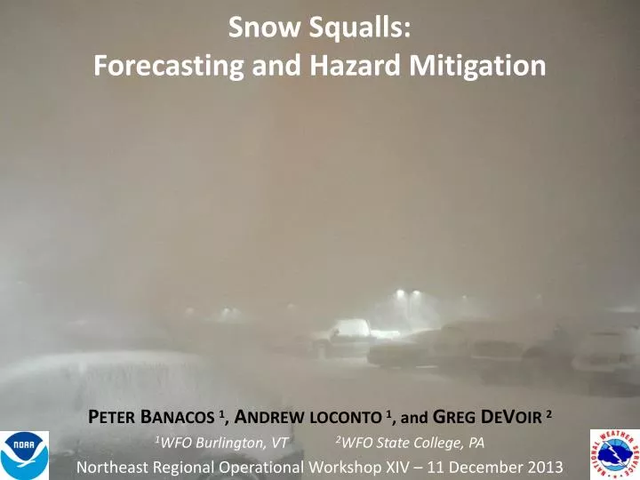
Snow Squalls: Forecasting and Hazard Mitigation. P ETER B ANACOS 1 , A NDREW LOCONTO 1 , and G REG D E V OIR 2 1 WFO Burlington, VT 2 WFO State College, PA Northeast Regional Operational Workshop XIV – 11 December 2013. Outline. What is a Snow Squall?.

E N D
Snow Squalls:Forecasting and Hazard Mitigation PETER BANACOS 1, ANDREWLOCONTO 1, and GREGDEVOIR 2 1WFO Burlington, VT 2WFO State College, PA Northeast Regional Operational Workshop XIV – 11 December 2013
What is a Snow Squall? • Tend to be short-lived • Don’t reach NWS snow advisory criteria • Falling temperatures can produce a “flash freeze” situation • Can have deadly road consequences (high-impact, sub-advisory, HISA) A mesoscale convective system producing gusty winds & heavy snow. Time-Matched Imagery 30 November 2007 TYX 0.5o reflectivity loop Elm St., Potsdam, NY
Long history of deadly accidents with snow squalls (~ 1”)… NBC33 - Indianapolis …how do we mitigate this? Burlington Free Press
PREVIOUS STUDIES OF SNOW SQUALLS (non-lake effect) • A few case studies and one forecast technique (WINDEX, Lundstedt 1993). • Cool-season MCS work may be relevant (e.g., Low-Dewpoint MCS/derechos, Corfidi et al. ‘06). • Some focus on external partnerships (Devoir 2004, NWS – PENNDOT) WHAT WE WANT TO DO: Create a snow squall database and improve our meteorological understanding through compositing Improve forecaster situational awareness by developing a new snow squall parameter (these are low QPF events) Validate snow squall parameter against individual cases Continue to improve operational messaging, education, and state/local partnerships END RESULT: More certainty in forecast products, better lead times. Better communication. Road crews pre-treat surfaces
Creating a Snow Squall Database • METHODS • Searched 10 years of ASOS data for moderate or heavy snow (VSBY ≤ ½ SM) with a west wind component. • Each S or S+ observation was compared with 2-km radar mosaics to subjectively determine if the event was associated with a cold front or mobile upper trough (and not a stratiform/WAA case). • Found 36 total snow squall events (2001-02 through 2010-11). • Logged surface data characteristics for each case. MSS BTV MPV New York Vermont 3 ASOS locations used
Snow squalls are short-lived events… VSBY ≤ ½ SM VSBY ≤ ¼ SM ASOS
Modest Snow Amounts Small Liquid Equivalent Continental SLRs
Dendrite growth zone (-12 to -18C) Wind speed max (38 kts) Potential instability
BUFKIT Summary • Time-height cross-sections: • A brief, intense zone of UVV in the lowest 2km AGL. • Intersects Dendritic Growth Zone (-12 to -18C) in saturated (RH ≥ 90%) atmosphere • Along/just ahead of cold front. • Examine θe profile for vertically-oriented or folded isentropes (steep lapse rates, potential instability). • Well-defined wind shift with strongest wind speeds/ mixing just behind front. • Don’t get hung up on QPF. Likely only ~0.05”.
Parameters Examined using 3-hrly NARR data in GEMPAK (analysis times immediately before and after squall time)
NARR Variable Distribution for 36 Snow Squall Events Normalized between 25th and 50th percentile values… 9ms-1, 75%, 0K/2km
NARR SCATTERPLOT of 0-2km mean RH vs. THETA-E Difference (36 SNSQ CASES) Favored parameter space
Necessary Ingredients for Squalls Moist convection, but cold enough for snow. (1) moisture, (2) lift, (3) instability, (4) wind, and (5) vertical temperature structure (to support snow) Snow Squall Parameter (SNSQ, non-dimensional) plot only for values > 0 and where Tw ≤ 1 C @ 2m Cold enough for snow Moisturelow-level Instability Wind Calibration wasdone using NARR data, but can be tweaked for operational models. SNSQ approaches zero as any of these variables approaches zero. Lift (forcing) would be assessed independently (isallobaricrise/fall couplet, F-GEN).
2005-06 Winter SNSQ ParameterOne # to highlight where kinematic and thermodynamic conditions are favorable for snow squalls. 3-hrly NARR SNSQ time series at BTV (5 months)
Case Examples • 11-12 February 2003 (using the NARR) • 17 January 2013 (using the NARR & BTV-12km WRF) BTV-12km WRF: Initialized with the GFS and no convective parameterization.
Testing the SNSQ Parameter Against Past Events: 11-12 Feb 2003 “SNOW DERECHO” CASE EXAMPLE 1 CG Lightning (11/20z through 12/12z)
11-12 Feb 2003 RADAR WI SNSQ Parameter Shaded, left panels 3-hr Isallobars A simple way to assess convergence (lift) /propagation Pres. couplets often the difference between convective snow showers and organized squalls SNSQ 21z 11/21 Z WI 12/00 Z 00z WI 03z 12/03 Z
0-2km qe Diff. 0-2km Mean RH (%) 925mb F-gen Isallobaric Convergence SBCAPE (J kg-1), 925mb Frontogenesis (K 100km-1 3hr-1) 3-hr Isallobars (mb)
16-17 January 2013 EXAMPLE 2 SNSQ (03z, 9 h forecast) BTV-12km WRF 17 Jan 2013 Intense snow squalls along sharp cold front Lake effect snow showers
SNOW SQUALL OBSERVATIONS: CYYU 161900Z 33020KT 1/8SM +SN +BLSN VV001 M14/M35 A2944 RMK SN8 PRESRR SLP962 CYNM 162300Z AUTO 33028G37KT 1/4SM +SN BLSN VV005 M17/M19 A2936 RMK MAX WND 33037KT AT 2300Z PRESRR SLP968 CYXR 162354Z AUTO 32028G38KT 230V330 1/8SM +SN SCT014 BKN019 BKN027 OVC070 M08/M10 A2948 RMK MAX WND 27038KT AT 2345Z PRESRR SLP998 CYSB 170146Z 35021G28KT 1/2SM R22/2800VP6000FT/D SHSN DRSN VV003 RMK SN8 CYVO 170148Z 32020G28KT 1/2SM-SN BLSN VV007 M14/M15 A2951 RESN RMK BLSN8 PRESRR SLP022 17/0040Z Reflectivity – Landrienne, Quebec 16-17 January 2013 Case EXAMPLE 2
NARR SNSQ parameter with PMSL and isallobars (03z 17 Jan 2013) SNSQ Convergence maximized on leading edge of isallobaric gradient (usually near zero change line). isallobaric wind
925mb F-gen Isallobaric Convergence Isallobaric convergence part of thermally direct frontogenetic circulation.
SNSQ Parameter (17/12z) (BTV-12km WRF 12-hr FCST) Mosaic Composite Reflectivity (17/1155z) View from Burlington, VT of snow squall crossing Lake Champlain (17/13z)
See the SNSQ Parameter in Real-Time SNSQ On the Web (BTV 4 and 12km WRF runs) URLs: AWIPS 4-panel procedures (Volume browser changes sent to the SOO mail list) http://www.erh.noaa.gov/btv/html/4kmwrf/index.php http://www.erh.noaa.gov/btv/html/12kmwrf/index.php SPC is working on adding the SNSQ Parameter to Mesoanalysispage (full CONUS availabiliity)
QUESTIONS? E-MAIL peter.banacos@noaa.gov, andrew.n.loconto@noaa.gov, greg.devoir@noaa.gov