Download
1 / 1
10 likes | 157 Views
GOSSP Geoscience Open Space Stewardship Program William Corbett, South Country High School, Bellport, NY _____ Victoria Kramer, CPG 9712, E Northport Middle School, E Northport, NY 11731 Robert J. Mozer, CPG 8580, Wm Floyd Middle School, Moriches, NY 11955

E N D
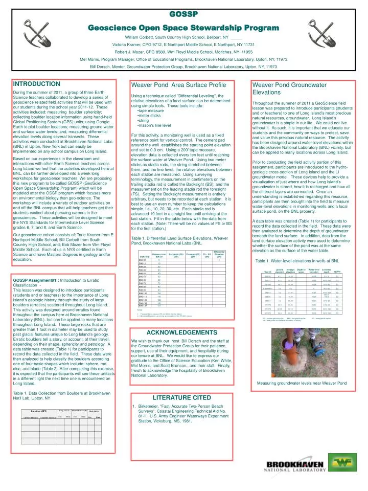
GOSSP Geoscience Open Space Stewardship Program William Corbett, South Country High School, Bellport, NY _____ Victoria Kramer, CPG 9712, E Northport Middle School, E Northport, NY 11731 Robert J. Mozer, CPG 8580, Wm Floyd Middle School, Moriches, NY 11955 Mel Morris, Program Manager, Office of Educational Programs, Brookhaven National Laboratory, Upton, NY, 11973 Bill Dorsch, Mentor, Groundwater Protection Group, Brookhaven National Laboratory, Upton, NY, 11973 INTRODUCTION During the summer of 2011, a group of three Earth Science teachers collaborated to develop a series of geoscience related field activities that will be used with our students during the school year 2011-12. These activities included: measuring boulder sphericity; collecting boulder location information using hand-held Global Positioning System (GPS) units; using Google Earth to plot boulder locations; measuring ground water and surface water levels; and, measuring differential elevation levels along several transects. These activities were conducted at Brookhaven National Labs (BNL) in Upton, New York but can easily be implemented on any school campus on Long Island. Based on our experiences in the classroom and interactions with other Earth Science teachers across Long Island we feel that the activities developed here at BNL, can be further developed into a week long workshops for geoscience teachers. We are proposing this new program to be called GOSSP (GeoScience Open Space Stewardship Program) which will be modeled after the OSSP program which focuses more on environmental biology than geo-science. The workshop will include a variety of outdoor activities on and off the BNL campus that will help teachers get their students excited about pursuing careers in the geosciences. These activities will be designed to meet the NYS Standards for Intermediate Level Science grades 6, 7, and 8, and Earth Science. Our geoscience cohort consists of: Torie Kramer from E. Northport Middle School; Bill Corbett from South Country High School, and; Bob Mozer from Wm Floyd Middle School. Each of us is NYS certified in Earth Science and have Masters Degrees in geology and/or education. • Weaver Pond Area Surface Profile • Using a technique called "Differential Leveling", the relative elevations of a land surface can be determined using simple tools. These tools include: • tape measure • meter sticks • string • mason's line level • For this activity, a monitoring well is used as a fixed reference point for vertical control. The cement pad around the well establishes the starting point elevation and set to 0.0 cm. Using a 200’ tape measure, elevation data is collected every ten feet until reaching the surface water at Weaver Pond. Using two meter sticks as stadia rods, the string stretched between them, and the line level, the relative elevations between each station are measured. Using surveying terminology, the measurement in centimeters on the trailing stadia rod is called the Backsight (BS), and the measurement on the leading stadia rod the foresight (FS). Setting the Backsight measurement is entirely arbitrary, but needs to be recorded at each station. It is best to use an even number to keep the calculations simple, i.e., 10, 20, 30, etc. Each stadia rod is advanced 10 feet in a straight line until arriving at the last station. Fill in the table below with the data from each station. (Note: There will be no values of FS or BS for the first station.) • Table 1. Differential Land Surface Elevations, Weaver Pond, Brookhaven National Labs (BNL). • Notes: • There will be no values of FS nor BS for the first station. • 2. Differential Elevation = a running accumulation of the "FS-BS" column. Weaver Pond Groundwater Elevations Throughout the summer of 2011 a GeoScience field lesson was prepared to introduce participants (students and or teachers) to one of Long Island’s most precious natural resources, groundwater. Long Island’s groundwater is a staple in our life. We could not live without it. As such, it is important that we educate our students and the community on ways to protect, save and value this precious natural resource. The activity has been designed around water-level elevations within the Brookhaven National Laboratory (BNL) vicinity, but can be applied to many locations across Long Island. Prior to conducting the field activity portion of this assignment, participants are introduced to the hydro-geologic cross-section of Long Island and the LI groundwater model. These devices help to provide a visualization of just where and how Long Island’s groundwater is stored, how it is recharged and how all the different layers are connected. Once an understanding is established regarding this resource, participants are then brought into the field to measure water-level elevations in monitoring wells and a local surface pond, on the BNL property. A data table was created (Table 1) for participants to record the data collected in the field. These data were then analyzed to determine the depth of groundwater beneath the land surface. In addition, data from the land surface elevation activity were used to determine whether the surface of the pond was at the same elevation as the surface of the water table. Table 1. Water-level elevations in wells at BNL GOSSP Assignment#1 : Introduction to Erratic Classification - This lesson was designed to introduce participants (students and or teachers) to the importance of Long Island’s geologic history through the study of large boulders (erratics) scattered throughout Long Island. This activity was designed around erratics found throughout the campus here at Brookhaven National Laboratory (BNL), but can be applied to many locations throughout Long Island. These large rocks that are greater than 1 foot in diameter may be used to study past glacial features unique to Long Island’s geology. Erratic boulders tell a story, or account, of their travel, depending on their shape, sphericity and petrology. A data table was created (Table 1) for participants to record the data collected in the field. These data were then analyzed to help classify the boulders according one of four basic shapes which include: sphere, rod, disc, and blade(Table 2). After completing this exercise, it is expected that the participants will see these artifacts in a different light the next time one is encountered on Long Island. Table 1. Data Collection from Boulders at Brookhaven Nat’l Lab, Upton, NY SG – shallow glacial aquifer MG – mid-glacial aquifer DG – deep glacial aquifer n/a – data points not available at the time of activity ACKNOWLEDGEMENTS We wish to thank our host Bill Dorsch and the staff at the Groundwater Protection Group for their patience, support, use of their equipment, and hospitality during our tenure at BNL. We would like to express our gratitude to the Office of Science Education (Ken White, Mel Morris, and Scott Bronson,, and their staff. Finally, I wish to acknowledge the hospitality of Brookhaven National Laboratory. Measuring groundwater levels near Weaver Pond • LITERATURE CITED • Birkemeier, "Fast, Accurate Two-Person Beach Surveys", Coastal Engineering Technical Aid No. 81-Il., U.S. Army Engineer Waterways Experiment Station, Vicksburg, MS, 1981.