Download
1 / 14
560 likes | 1.72k Views
The World Around Us. Melissa Rogers. MAPS. Content Area: Geography Grade Level: 5th Summary: The purpose of this instructional PowerPoint is for students to learn about different types of maps and elements found on a map.

E N D
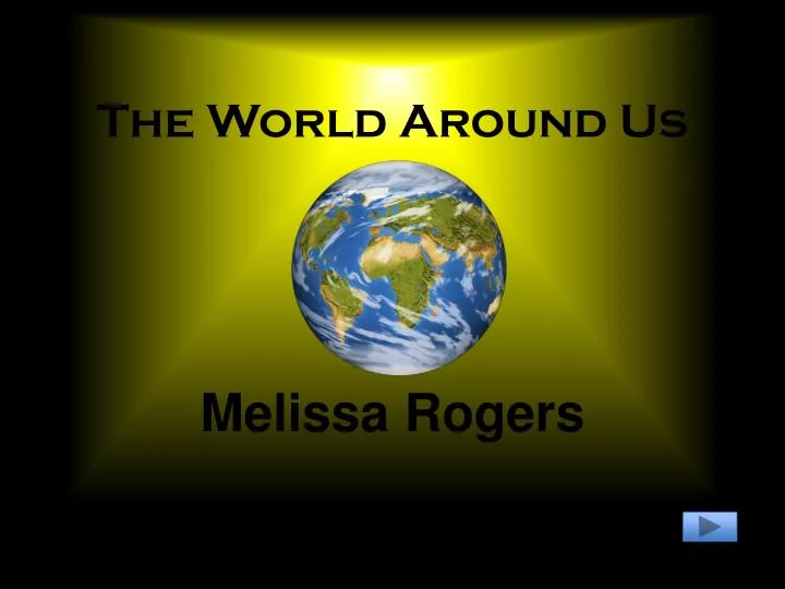
The World Around Us Melissa Rogers
MAPS • Content Area: Geography • Grade Level: 5th • Summary: The purpose of this instructional PowerPoint is for students to learn about different types of maps and elements found on a map. • Learning Objective: Given a location in the U.S., the student will be able to recognize key elements on a map, and determine the time zone and other landforms for that area. • Content Standard: 3.0 Geography enable the students to see, understand and appreciate the web of relationships between people, places and environments. • Accomplishment: 5.3.01
Maps What is a map? A diagram of an area of land or sea showing physical features, cities, and roads Why do we need maps? They give us direction and provide us with information about our climate and time zones What is found on a map? Mountains, desserts, oceans, cities, states, roads, longitude, latitude, time zones, and other landmarks.
Political Map Boundaries States Capitals
Physical Map Lakes Mountains River Plains Deserts Oceans Bay Peninsula Island
Climate What is climate? • the composite or generally prevailing weather conditions of a region, as temperature, air pressure, humidity, precipitation, sunshine, cloudiness, and winds, throughout the year, averaged over a series of years. • a region or area characterized by a given climate: to move to a warm climate Let's look at climate around the world on the Interactive Climate Map below http://www.climate-charts.com/climate-map.html
Longitude & Latitude A geographic coordinate system is a coordinate system that enables every location on the Earth to be specified by a set of numbers
Time Zones WHERE DO WE LIVE?? Time Zones are a geographical world globe division of 15o each, starting at Greenwich, in England, created to help people know what time is it now in another part of the world. PACIFIC MOUNTAIN CENTRAL EASTERN
Group Activity • Do you know your states? • Where did Hannah go???
Conclusion During this lesson, the students have learned why we use maps and how important they are in our everyday life. Students had an opportunity to locate their time zone on the map, find different climates around the world, and participate in a group activity using maps.
Credits • http://geographyworldonline.com/tutorial/instructions.html • http://en.wikipedia.org/wiki/Longitude_and_latitude • http://dictionary.reference.com/browse/climate • http://www.tldp.org/HOWTO/TimePrecision-HOWTO/tz.html