Download

1 / 13
130 likes | 224 Views
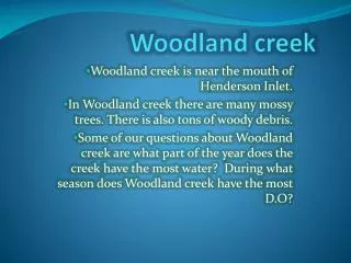
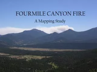
Fourmile Creek. By Emily, Veronica, and Shelby (Group #1). Assignment. To develop a few hypothesis about the Fourmile watershed, in order to demonstrate our knowledge of Watersheds and water quality issues. Methodology. Day 1- Chemical Test Water Samples, Watershed Lecture

E N D
Fourmile Creek By Emily, Veronica, and Shelby (Group #1)
Assignment • To develop a few hypothesis about the Fourmile watershed, in order to demonstrate our knowledge of Watersheds and water quality issues
Methodology • Day 1- Chemical Test Water Samples, Watershed Lecture • Day 2- Visited Big Darby Watershed, Ran Chemical Tests, • Measured ICI And IBI. Demonstration Of Electro Fishing • By Ohio EPA • Day 3- Model It (Independent Vs. Dependent Variables) • Excel Spreadsheets • Gathered Information About The Fourmile Watershed
Methodology 2 • Day 4- Learned Power Point Presentation • Compared Fourmile and Darby Watershed on Spreadsheets • Made Three Hypotheses by Comparing Data to Station Location • Makes Graphs of the Data • Day 5- Presentation Skills • Power Point Project • Create Web Site • Women of Achievement Panel • Day 6- Practice Presentations • Complete Web Site • Complete Power Point Project
Definition Page 1 IBI = Index biotic integrity ICI = Invertebrate community index QHEI = Qualitative habitat evaluation index DO = Dissolved Oxygen TSS = Total Suspended Solids Station ID = Number representing where the tests were done
Definitions page 2 Point Source Pollution = A known source of pollution Non Point Source Pollution = An unknown but suspected source of pollution Riparian Zone = A type of habitat associated with lush vegetation Meander = a natural curve or turn in a creek or river bed BOD = Biochemical Oxygen Demand
Hypothesis H1: When the QHEI (Qualitative Habitat Evaluation Index) increases, the ICI (Invertebrate Community Index) and the IBI(Index of Biotic Integrity) increase H2: The closer the creek is to the city the lower the ICI and the IBI H3: The TSS(Total Suspended Solids) increases in agricultural areas
Hypothesis #2 Station I.D. vs ICI,IBI, QHEI 100.00 90.00 80.00 70.00 60.00 Amount 50.00 40.00 30.00 20.00 10.00 0.00 111 112 113 114 115 116 Station I.D. ICI QHEI IBI
Results H1:The hypothesis is correct. When the QHEI increased the ICI and IBI increased. H2: The hypothesis is correct. Due to the location of an urban setting the ICI and IBI levels decrease near the city and increase near the rural areas. H3: The hypothesis is correct. This hypothesis was also based on location and the TSS level was higher if it was near a rural area, rather than an urban area. Refer to map of Station I.D.(111-116)
Station ID and Land use map
Conclusion We tested our hypotheses and we concluded that, according to our research, our hypotheses were all correct. All of our graphs based on our research showed that we came up with the correct hypotheses about our watershed.