Download
1 / 44
440 likes | 671 Views
BIO’s CATS Field, modelling, chemistry and instrumentation work November 2006. Simon Prinsenberg, Jim Hamilton and Peter Rhines. 0. Salinity. 35. 0. Sea-ice meltwater. seawater. δ 18 O (‰). Meteoric water (rain, snow, river runoff, glacial meltwater). -30. 3 - Instrumentation.

E N D
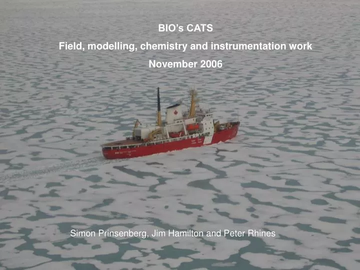
BIO’s CATS Field, modelling, chemistry and instrumentation work November 2006 Simon Prinsenberg, Jim Hamilton and Peter Rhines
0 Salinity 35 0 Sea-ice meltwater seawater δ18O (‰) Meteoric water (rain, snow, river runoff, glacial meltwater) -30 3 - Instrumentation 1 - Field work +Data 4 - Chemistry 2 - Modelling
Field/Data – Jim Hamilton Muray Scotney Roger Petipas Peter Rhines Modelling – Charles Hannah Dave Greenberg Youyu Lu Fred Dupont Instrumentation – George Fowler Brain Beamlands Greg Siddall Peter Rhines Chemistry – Kumico Atzuo-Scott
Project’s aim is to monitor and simulate The fluxes through the CAA as part of the Arctic-Atlantic ocean conveyor belt circulation CAA- Canadian Arctic Archipelago Barrow Strait - Lancaster Sound From G. Holloway
Three major straits through the CAA Survey area (red Box) Grid show the diagnostic finite element model domain (20058 elements)
Observation Problems: Magnetic north pole Mobile ice cover North Pole Modelling Problems: Complex topography Lack of bathymetric and oceanographic data
Lancaster Sound year-long mooring 2004-05 south north
Software and hardware to measure current direction in Low-horizontal Magnetic field with mid-water floats by Jim Hamilton ADCP with role/tilt compass Magnetic direction 88O in CAA Vertical direction 90O normally
Measuring current direction in Low-horizontal Magnetic field 2004 • Watson Compass provides role-tilt and magnetic Pole direction • This provides current magnetic direction data • Corrected by Resolute magnetic data for wandering magnetic North Pole . • To finally provide current direction to true north • Special data processing Magnetic North True North
Lancaster sound survey - Deployment of ADCP and battery pack
ULS mounted between two A2-SUBs Ice draft measurements (2sec. data)
Lancaster Sound August 2004 • First 6-years of field data
Ocean statistics from time series data Surface current Barrow Strait 3 month average from bi-hourly data
Ocean and pack ice statistics from time series data Plots? Tables? Website? Currents at 80m Barrow Strait 3 month average from bi-hourly data
Ocean and pack ice statistics from time series data Plots? Tables? Website? Ice velocity Barrow Strait 3 month average from bi-hourly data
Ice draft plot monthly max., mean and Std. Dev. from 2sec time series data
Weekly and monthly fluxes for Aug. 98 to July 05 (7 years of data) (seasonal weighted 2/3 southern site data and 1/3 northern site data) Summer
Yearly and seasonal mean estimated fluxes passing through Lancaster Sound in units of Sv (= 106m3/s).
Monthly mean volume flux through eastern Barrow Strait derived from 6-year of mooring data (Aug. 1998 – Aug. 2004).
Modelling Problems: Complex topography Lack of bathymetric and oceanographic data D. Greenberg, C. Hannah F. Dupont
Summer surface currents (arrows) for -10cm Baffin Bay set-up color code is for depth contours
Ice concentration during the 1 year run coupled to AIM Sep 89 June 1990 July 1990 Sep 1990 August 1990
Surface ocean current during the 1 year run coupled to AIM Dec 89 Sep 89 Mars 90 June 1990 Sep 1990
WebTide C. Hannah
WebTide Tidal Currents Future: wind effects
Increased # grids 3-4km at transect Good for shore erosion, ship mooring sites and harbours
Large scale Ice-ocean Model (DFO and IPY) • Ocean module based on NEMO (OPA) and CICE ice module • Domain covers Arctic Ocean and sub-polar NA; a subset of global 1/4º MERCATOR grids • Minimum grid size 6 km in CAA and maximum15 km in Arctic Ocean and up to 40 vertical levels • 480x468x40 grids Youyu LU Ice thickness
3 - Instrumentation 3 - Instrumentation
Sensor Float EM Cable Midwater Float Acoustic Release ICYCLER #2 ICYCLER: Surface layer CTD profiler moored beneath mobile pack ice 25m 50m By George Fowler Problem: Can not moor instruments in surface layer because of mobile ice cover, and yet there is where the large variability in the oceanographic parameters occur.
ICYCLER #1 provided yearlong CTD-Chl data set 2003-2004 from Lancaster Sound
Yearlong Aug 2003- Aug 2004 Fluorescence Temperature
Lost-found ICYCLER Seacat pressure data Aug. 04 – Aug. 06
Profiler line spooled out • Buoyancy tank imploded but sealed • Baterry dead and Corrosion
0 Salinity 35 0 Sea-ice meltwater seawater δ18O (‰) Meteoric water (rain, snow, river runoff, glacial meltwater) -30 4 - Chemistry
How to use oxygen isotope composition (δ18O) to quantify the fresh water compositions Salinity heavy oxygen (O-18) enriched 0 35 0 Sea-ice meltwater seawater δ18O (‰) Meteoric water (rain, snow, river runoff, glacial meltwater) -30 light oxygen (O-16) enriched Water is a mixture of seawater and sea-ice meltwater Water is a mixture of seawater and meteoric water Water is a mixture of seawater, meteoric water and sea-ice meltwater
How to use Total Alkalinity to quantify the fresh water compositions Seawater 2300 River runoff Total Alkalinity Sea Ice, rain, snow meltwater 0 0 35 salinity Water is a mixture of seawater and river runoff Water is a mixture of seawater and sea ice meltwater Water is a mixture of seawater, river runoff and sea-ice meltwater
0 Salinity 35 0 Sea-ice meltwater seawater δ18O (‰) 1977 1980 2003 Meteoric water (rain, snow, river runoff, glacial meltwater) -30 δ18O vs. salinity (0-100m) salinity 26 28 30 32 34 36 38 0 -0.5 -1 y = 0.35x - 13.10 -1.5 2 R = 0.80 δ18O -2 -2.5 -3 y = 0.38x - 14.16 -3.5 R = 0.57 1977&1980 2 -4 2003 -4.5 Barrow Strait Seasonality ? Time series data
Yearlong water sampler to determine δ18O MicroLab by Environtech
Where are we heading with the CAA research • Moorings in until August 2007????? • Modelling effort reduced at moment effort on data processing • Waiting for B-Base funding cycle to clear PERD (by early 2007) • Waiting for B-Base funding cycle to clear IPY (by early 2007)