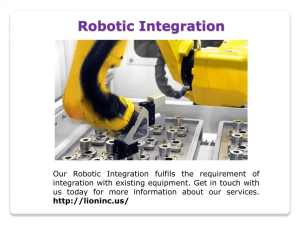
Download
1 / 5
50 likes | 146 Views
LOCALIZATION OF A UAV FOR THE INSPECTION OF BRIDGES BY USING VISION AND INERTIAL SENSORS. Najib METNI François DERKX Jean-Luc SORIN. PROBLEM FORMULATION : To localize the aerial vehicle in the 3D environment for cracks and defects visualization on bridges. OBJECTIVES:

E N D
LOCALIZATION OF A UAV FOR THE INSPECTION OF BRIDGESBY USING VISION AND INERTIAL SENSORS Najib METNI François DERKX Jean-Luc SORIN
PROBLEM FORMULATION: To localize the aerial vehicle in the 3D environment for cracks and defects visualization on bridges. OBJECTIVES: Scanning the civil structures to detect defects and cracks. • - To automate the tasks to be realized. • To reduce necessary logistics (time, security,..). • - To avoid the closing the traffic on the bridge. DESCRIPTION OF THE UAV (SurveyCopter) Used Sensors: INS (Inertial Navigation Sensor), GPS, Camera. The Ground Station COPTER 1B
Normal inspection by the means of a Footbridge: First Experiment on the “Viaduc de Saint-Cloud”: • Inspection feasibility trial of an manually controlled • UAV helicopter: -- Image of a bridge defect and its corresponding treated image:
Trajectory Optimization Non Linear Estimator Data Fusion from INS and Camera:
Camera Modelisation: Homography Matrix: