Download
1 / 15
150 likes | 322 Views
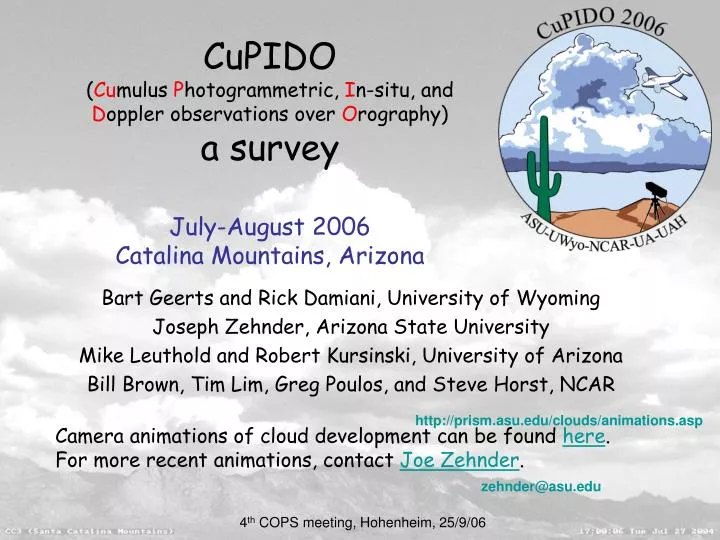
CuPIDO ( Cu mulus P hotogrammetric, I n-situ, and D oppler observations over O rography ) a survey July-August 2006 Catalina Mountains, Arizona. Bart Geerts and Rick Damiani, University of Wyoming Joseph Zehnder, Arizona State University

E N D
CuPIDO(Cumulus Photogrammetric, In-situ, and Doppler observations over Orography)a surveyJuly-August 2006Catalina Mountains, Arizona Bart Geerts and Rick Damiani, University of Wyoming Joseph Zehnder, Arizona State University Mike Leuthold and Robert Kursinski, University of Arizona Bill Brown, Tim Lim, Greg Poulos, and Steve Horst, NCAR http://prism.asu.edu/clouds/animations.asp Camera animations of cloud development can be found here. For more recent animations, contact Joe Zehnder. zehnder@asu.edu 4th COPS meeting, Hohenheim, 25/9/06
Rationale • Cumulus convection • is the primary mechanism for the vertical transfer of heat, moisture and momentum; • operates at multiple scales and may transition from shallow to mediocre to deep convection; • is largely controlled by the environment (stability & shear profile), but also alters it (cold pool development, detrainment aloft); • in NWP models, cumulus parameterization is poorly coupled with BL parameterization, especially in complex terrain. • An isolated mountain • serves as a natural laboratory for the study of cumulus initiation and evolution, • due to “predictable” anabatic flow. 4th COPS meeting, Hohenheim, 25/9/06
Scientific Objectives • Describe the initiation of shallow to deep convection and transition • Broadly speaking, CuPIDO addresses several fronts of atmospheric research: • fundamental cumulus dynamics • cumulus-environment interaction • surface fluxes and orographic circulations • orographic forcing of cumulus 4th COPS meeting, Hohenheim, 25/9/06
2786 m 20 km 600-800 m 4th COPS meeting, Hohenheim, 25/9/06
size comparison COPS „Natural convection laboratory“ area 270 x 150 km2 CuPIDO area 40 x 40 km2 ~2000 m from valley to mountain ~1000 m from valley to mountain Supersite 4th COPS meeting, Hohenheim, 25/9/06
facilities University of Wyoming King Air & Cloud Radar Arizona State University Digital Cameras (2 stereopairs) NCAR/EOL 10 ISFF/PAM stations 2 M-GAUS mobile radiosondes University of Arizona: GPS water vapor U of A and NCAR & NOAA FSL: WRF modelling 4th COPS meeting, Hohenheim, 25/9/06
Flight summary Number of flight hours: 60 Number of flights sampling transition from cloud-free to Cu congestus: 8 Number of flights sampling transition to deep convection: 7 Number of flight loops around the mountain, in the convective BL: 50 4th COPS meeting, Hohenheim, 25/9/06
Orographic forcing of boundary layer flow: mass and moisture convergence Potential Temperature (°K) (aircraft track) Mixing Ratio (g/kg) (wind barbs) 5 15 300 m AGL 800 m above valley, (643 m below top) 2214 m above valley, (270 m above top) 25 July 2006, 16:00-16:47 UTC (2:44-3:31 hrs after sunrise) 4th COPS meeting, Hohenheim, 25/9/06
Orographic forcing of boundary layer flow: mass and moisture convergence Equivalent Potential Temperature (°K) N↑ 15 Mixing Ratio (g/kg) 5 25 July 2006, 16:00-16:47 UTC (2:44-3:31 hrs after sunrise) 4th COPS meeting, Hohenheim, 25/9/06
cumulus development 25 July 2006 1935 UTC 25 July 2006 1740 UTC Successive shallow Cu developed, starting at 1735 UTC, and rapidly evolved into congestus two hours later 4th COPS meeting, Hohenheim, 25/9/06
WCR antenna configurations Vertical Plane Dual-Doppler Vertical Plane Profiling Horizontal Plane Dual-Doppler 4th COPS meeting, Hohenheim, 25/9/06
18 July 2006 16:44:30 – 16:46:30 UTC 18 July 2006 16:48:15 – 16:50:15 UTC Shallow Cu transects density temp temperature droplet conc rel. hum. vertical velocity vertical velocity WCR vertical velocity wind wind WCR reflectivity 4th COPS meeting, Hohenheim, 25/9/06
shallow Cuvertical plane dual-Doppler a section of a turret tilting against the main wind direction, located 1 km north of Mt. Lemmon. 4th COPS meeting, Hohenheim, 25/9/06 18 July 2006 18:03:30 – 18:04:20 UTC
same cloud, 6 min laterhorizontal-plane dual-Doppler 4th COPS meeting, Hohenheim, 25/9/06
HPDD • Vertical vorticity and entrainment patterns • Divergence (thermal top?) 7200m MSL, 18 July 2006 18:09:20 – 18:09:50 UTC 4th COPS meeting, Hohenheim, 25/9/06