Download
1 / 23
230 likes | 473 Views
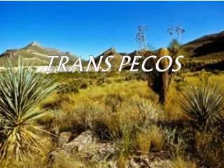
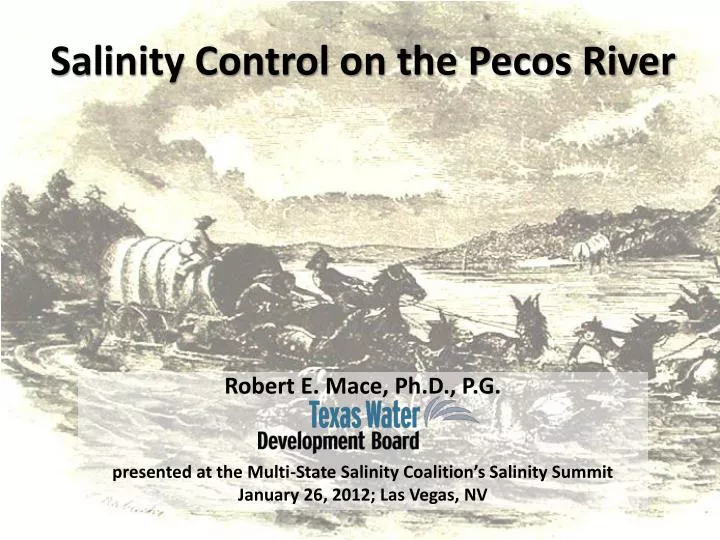
Salinity Control on the Pecos River. Robert E. Mace, Ph.D., P.G. presented at the Multi-State Salinity Coalition’s Salinity Summit January 26, 2012; Las Vegas, NV. figure from Wikimedia Commons. Pecos River. Length: 929 miles Drainage Basin: 44,402 square miles

E N D
Salinity Control on the Pecos River Robert E. Mace, Ph.D., P.G. presented at the Multi-State Salinity Coalition’s Salinity Summit January 26, 2012; Las Vegas, NV
Pecos River • Length: 929 miles • Drainage Basin: 44,402 square miles • Discharge near Langtry, Texas: • Average of 265 cfs • Maximum of 152,910 cfs • Minimum of 42 cfs • Empties into Lake Amistad
Pecos River • Reservoirs • New Mexico -- Texas • Santa Rosa - Red Bluff • Sumner • Avalon • Brantley • Pecos River Compact (ratified in 1949) • Pecos River Settlement Agreement (2003)
Horsehead Crossing circa 1850
Permian Evaporite Deposits from Miyamoto & others (2007)
Sources of Salinity • Groundwater discharge • Salt springs at Bottomless Lakes • East of Roswell • 300,000 tons per year • Salt springs at Malaga Bend • Just north of stateline • 150,000 tons per year • Salinity in river = 4,100 ppm • Lower flows in river (= less dilution) • Flows at Malaga Bend • 210,000 acre-feet in 1959 • 66,000 acre-feet in 2001
Impacts • Red Bluff Reservoir • Salt loading • 478,000 tons per year from Pecos River • 80,000 tons per year from Delaware River • Outflow • Outflow from reservoir: 410,000 tons/year • TDS of water = 6,000 ppm • Too high for most crops • Salinity at Girvin: 12,000 ppm • Salt loading for Lake Amistad • 26% from Pecos River (10% flow)
Control History • 1938: NM State Engineer’s Office • notes large amounts of salt discharging into Pecos River at Malaga • notes source of water from the Rustler Formation • 1942: USGS (C.V. Theis) estimates the flow and suggests diverting it • 1954: USGS proposes cutting off the bend or pumping groundwater to intercept the flow
Control History (cont.) • 1958: Congress authorizes the Malaga Bend Salinity Alleviation Project • First salt control project of its kind in the U.S. • Construction by Bureau of Reclamation • Data collection by USGS • Right of way acquired by NM • Operation and maintenance by Texas • 1962: Construction starts • 220 ft well • ~2 miles of pipe • Discharge to unlined but compacted 50-acre evaporation pond
Control History (cont.) • 1963: Pumping starts • By December 1964, 1,000 acre-feet of water pumped removing 300,000 tons of salt • Decreases brine inflow to river by 70 percent • Possible leakage from depression… • 1963 to 1968 • About 3,878 acre-feet of brine is pumped • 1970: Texas proposes to pump the brine to Culberson County (Texas) for enhanced oil recovery (EOR) • 1972: Pumping for EOR starts • 1977: EOR pumping stops due to problems with the pump and casing
Control History (cont.) • 1993: Pumping stops due to • A need to re-engineer the pond • Concerns that pond was hazard to water fowl • Lack of interest by United Salt Company to operate facility • 1995: BuRec conducts study of benefits of salt control • 2010: Pecos River Water Quality Coalition Forms • Currently working with Corps of Engineers • 2012: Pecos River Compact Commissioners work to bring private company back in to pump well again to produce salt
Members • Texas State Senator Carlos I. Uresti • Texas State Representative Pete Gallego • Texas Pecos River Compact Commissioner • Texas Commission on Environmental Quality • Texas State Soil and Water Conservation Board • Texas Water Development Board • International Boundary & Water Commission Clean Rivers Program • Red Bluff Water Power Control District • International Boundary & Water Commission • Texas Water Resources Institute • Texas A&M AgriLife Research and Extension Center
Initial Tasks • Assess salinity • Literature/data review and compilation • Conduct electromagnetic surveys of Red Bluff Reservoir to Independence Creek • Evaluate management alternatives • Preliminary economic analyses • Update the Watershed Protection Plan • include practices for controlling salinity levels
Current Status/Next Steps • Filed HCR 21 and SCR 2 in the Texas Legislature • Applied for a 319 grant through TSSWCB • Developing white paper on background, goals, and membership • Federal funds? TSSWCB = Texas State Soil and Water Conservation Board