Download
1 / 12
120 likes | 271 Views
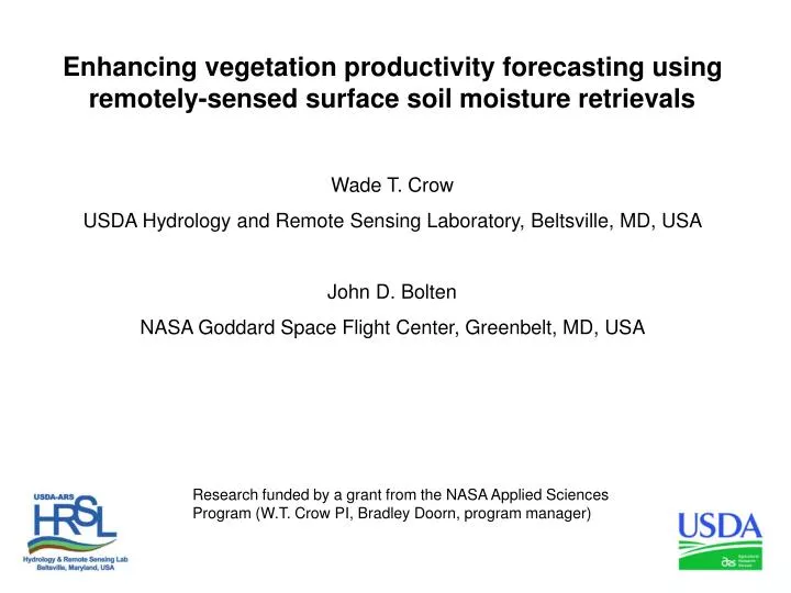
Enhancing vegetation productivity forecasting using remotely-sensed surface soil moisture retrievals Wade T. Crow USDA Hydrology and Remote Sensing Laboratory, Beltsville, MD, USA John D. Bolten NASA Goddard Space Flight Center, Greenbelt, MD, USA .

E N D
Enhancing vegetation productivity forecasting using remotely-sensed surface soil moisture retrievals Wade T. Crow USDA Hydrology and Remote Sensing Laboratory, Beltsville, MD, USA John D. Bolten NASA Goddard Space Flight Center, Greenbelt, MD, USA Research funded by a grant from the NASA Applied Sciences Program (W.T. Crow PI, Bradley Doorn, program manager)
The USDA Foreign Agricultural Service (FAS) International Production Assessment Division (IPAD) • Monthly global production forecasts (with 1-3 month lead time) for commodity crops. • Vital for economic competitiveness, national security and food security applications. • Utilizes a wide-range of satellite data sources, input databases, climate data, crop models, and data extraction routines to arrive at yield and areaestimates. • Characterizing the extent and impact of agricultural drought (i.e. root-zone soil moisture limitations) is critical.
Past USDA FAS/IPAD Treatment of Soil Moisture • Time/space attributes: • 12-km resolution. • Global coverage within agriculturally relevant areas. • Monthly reporting cycle (< weekly latency). 2-Layer Soil Moisture Model Analysts Global Rain and Met Forcing Data Crop Stress (Alarm) Models Crop Models
New USDA IPAD Treatment of Soil Moisture Funded by the NASA Applied Sciences Program (joint with NASA HSB, NESDIS STAR, USDA ARS, and USDA FAS, W.T. Crow PI, Brad Doorn, program manager) Remotely-Sensed Soil Moisture Data Assimilation 2-Layer Soil Moisture Model Analysts Global Rain and Met Forcing Data Crop Stress (Alarm) Models Crop Models
What is the added value of integrating remotely-sensed soil moisture information? Remotely-Sensed Soil Moisture Data Assimilation 2-Layer Soil Moisture Model Analysts Global Rain and Met Forcing Data Crop Stress (Alarm) Models Crop Models
Evaluation using MODIS EVI products • Monthly root-zone soil moisture anomalies (relative to climatology) calculated from a water balance model (“Model”). • Monthly root-zone soil moisture anomalies calculated by assimilating remotely-sensed surface soil moisture retrievals into the model (“Model + AMSR-E”). • 3) Monthly VIS/NIR vegetation indices (i.e. EVI) anomaly products (“EVI”). • Evaluate added value based on lagged-correlation between root-zone soil moisture and EVI anomalies. • Requires independence between retrievals and visible/NIR vegetation indices.
Model, remote sensing and data assimilation approach • Soil Water Model: • 0.25-degree, 2-Layer Modified Palmer model forced with AFWA model forcing. • AFWA merged WMO precipitation data with TRMM-based precipitation products. • Remote Sensing: • 0.25-degree, AMSR-E LPRM X- and C-band merged product (descending only). • Consider both LRPM soil moisture and vegetation opacity retrievals. • 0.25-degree MODIS MYD13C2 30-day EVI monthly anomalies. • Data Assimilation: • 30-member Ensemble Kalman filter (EnKF). • Model uncertainty (Q) is parameterized as function of average distance from nearest WMO station. • Retrieval uncertainty (R) is parameterized with vegetation type.
EVI anomaly cross-correlation with soil moisture and canopy opacity • Quasi-global averaging: • July 2002 to December 2010 • 60º S to 60º N • Barren and forested areas removed. • Monthly daily max. temp. > 5º C • LPRM snow cover mask • No data assimilation…yet LPRM soil moisture provides the most forecasting information
Soil moisture DA impact on lag = -1 month correlation Water Balance Model Only EnKF (Water Balance Model + LPRM AMSR-E) EnKF – Water Balance Model (Net Impact of LPRM AMSR-E)
Soil moisture DA impact on lag = -1 month correlation EnKF – Water Balance Model (Net Impact of LPRM AMSR-E)
Variation of added skill between “data-rich” and “data-poor” areas “Data-rich” countries July 20, 2011 - UN declares Somalia famine in Bakool and Lower Shabelle “Data-poor” and food-insecure countries
Conclusions 1) The assimilation of surface soil moisture retrievals significantly improves the utility of root-zone soil moisture estimates for vegetation condition/productivity forecasting. 2) Added benefits (relative to model-only) are relatively small in data-rich areas but large in data-poor locations prone to food insecurity. Future Work Apply to SMOS. Bolten, J.D. and W.T. Crow, “Improved forecasting of quasi-global vegetation conditions using remotely-sensed surface soil moisture,” in submission, 2011.