Download
1 / 40
400 likes | 601 Views
Gateway Wellfield project, Hermanus, South Africa: Implementation, system testing, aquifer monitoring and hydrogeodetic observation. Chris Hartnady, 1 Andiswa Mlisa , 1 Eric Calais, 2 Richard Wonnacott, 3 Helen Seyler 1 1 Umvoto Africa (Pty) Ltd, Muizenberg, South Africa

E N D
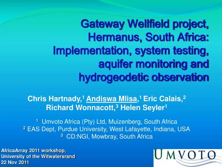
Gateway Wellfield project, Hermanus, South Africa: Implementation, system testing, aquifer monitoring and hydrogeodetic observation Chris Hartnady,1 Andiswa Mlisa,1 Eric Calais,2 Richard Wonnacott,3 Helen Seyler1 1 Umvoto Africa (Pty) Ltd, Muizenberg, South Africa 2 EAS Dept, Purdue University, West Lafayette, Indiana, USA 3 CD:NGI, Mowbray, South Africa AfricaArray 2011 workshop, University of the Witwatersrand 22 Nov 2011
Hermanus Groundwater Project:Implementation & System Testing CCT HNUS
Table Mountain Group palaeogeography Deposition of TMG at mouth of Amazon-scale river system draining southern front of vast Famatinian-Taconic mountain belt in collision zone between Gondwana and Laurentia
Overstrand Water Supply • Until 1976 single schemes in each town: • Surface water use (dams) in Fisherhaven and Voelklip • Groundwater use (boreholes or small wellfields) in Hawston, Onrus, Hermanus • Since 1976 DeBos Dam as source for all towns in Greater Hermanus Area • Previously used schemes abandoned
Overstrand Groundwater Investigation • Phase A – Inception (2001/2002) • Phase B – Detailed Design & Implementation (2002 – 2006) • B1 – Wellfield Development at Gateway • B2 – Monitoring programme • B3 – Hydrogeological Reconnaissance • B4 – License Application • Phase C – Conjunctive Water Resource Planning (2006 onwards)
Peninsula Aquifer:High confining pressure, high yielding fractures Wellfield pumping rates: 10 – 30 l/s License: 1.5 Mm3/a
New Production Borehole GWE06 New Production Borehole GWP02 Gateway Wellfield Existing Production Borehole GWP01 Monitoring Wellpoints WP1 – WP4 Monitoring Boreholes GWE07, GWE08, GWE09 and GWE10
Gateway Challenges • Management challenges in Hermanus • Avoid seawater intrusion • Avoid dewatering confined aquifer • Avoid unacceptable impact in ecologically sensitive recharge zone • Appropriate technology to address challenges??
Gateway steady-state model Position of modelled Hermanus Fault NE Alice Dodman, 2008
Limits pushed ? Pushing limits of equipment & technical capabilities allows successful management in a potentially unmanageable environment (saline intrusion, environmental concern & opposition) Monitoring system allows aquifer limits to be pushed A 7-year human push…resulted in 20-year license awarded, an accepted aquifer management strategy, and handing over wellfield to municipality
Framework for Sustainable Use Sustainable Management of Gateway Wellfield & Peninsula Aquifer SCIENCE: Water resource SOCIETY: The people involved Environmental impact Available aquifer yield I&APs DWA & CMA & DEA&DP WUA WSA & WSP Operational data: Pump test observation Water levels / flows Onrus Monitoring Committee Theoretical means: Modelling Botanical MONITORING
Monitoring Programme • Based on Hydrocensus (2003) • Spatial and time distribution of • Rainfall • Stream flow • Water level (Surface and Groundwater) • Water quality • Ecological condition • Water use and abstraction
Three–tiered system Long term monitoring Early warning system Emergency response
3–tiered system Monthly to ad hoc Every second Every 30 minutes Transmits to internet every hour Out of acceptable range? Immediate sms alarms Checked daily
Real-time monitoring Enables Overstrand to show to DWA, DEA&DP, and I&AP’s concerned with potential environmental impact, that Peninsula aquifer targeted at Gateway can - and is being - managed sustainably Has therefore become key aspect of licence conditions Is essential for sustainable aquifer management in such sensitive environment
South African TrigNet system • Network of permanent continuously operating GPS (cGPS) base stations • Distributed throughout South Africa at approximately 200 – 300 km spacing • All stations record 1-second epoch data on both GPS frequencies (L1 and L2) through geodetic-standard choke ring antennas • 21 stations stream data continuously to TrigNet control centre in Chief Directorate: Surveys and Mapping • Available within 30 minutes after each hour for 24 hours a day
Gateway wellfield and HMO Hermanus Magnetic Observatory
Acquisition of Instruments • Ashtec • eBox • Trimble Zephyr antenna
Construction and Establishment • Pillar to be rigid and well anchored to borehole plinth
Construction and Establishment • Monument and antenna installation at wellheads (Oct-Nov 2008) for measurement of surface subsidence during groundwater abstraction
Data Handling • Telemetry system • Cell phone communication • Private Network (machine to machine) • remote downloading of data • remote access to site • Data handling challenges and possible solutions • Data record at 1sec interval - 77MB per station per day • Compression function not working • Transfer of data site-Umvoto-AIMS • Collaboration with Centre for High Computing for data transfer? • Collaboration with CSIR-SAC for data mirroring / backup and transfer? • Data reduction process from 1sec-30sec
HY 2008-09 Test Pumping HGW1 & HGW2 HGW3
end pumping HGW1-HGW2 Results No observed signal
HGW3 to HNUS Result Complex end-pumping signal, in N component only? end pumping ? Unexplained blips in E component ? ? ?
HGW3 to HNUS Results Initial (~10 mm) response in opposite direction to expected uplift, possibly related to poro-elastic deformational response in overlying aquitard (Noordbergum-Rhade effects) Recovery uplift (~20 mm) linked to ~15 m rise in Peninsula aquifer water-level? end pumping Restoration to zero?
Acknowledgements • The Overstrand Municipality, in particular town engineer, Mr Stephen Muller, for generous co-operation • The Department of Land Affairs & Rural Development (Chief Directorate: National Geospatial Information) for technical support and assistance related to TrigNet and additional GPS hardware • The WRC and Dr Shafiek Adams for funding support • The Department of Science and Technology for additional funding support • Prof. Hans-Peter Plag and IGCP565 for support to attend Johannesburg workshop