Download
1 / 21
220 likes | 404 Views
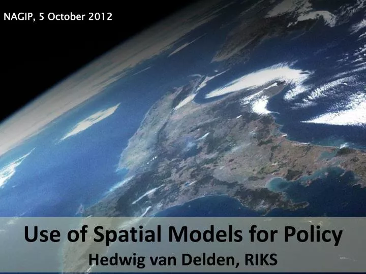
NAGIP, 5 October 2012. Use of Spatial Models for Policy Hedwig van Delden, RIKS. Use of models in integrated spatial planning in Europe. Increasing interest in integrated approaches to show side-effects, trade-offs and win-win

E N D
NAGIP, 5 October 2012 Use of Spatial Models for Policy Hedwig van Delden, RIKS
Use of models in integrated spatial planning in Europe • Increasing interest in integrated approaches to show side-effects, trade-offs and win-win • Good disciplinary knowledge and models, but knowledge on integration not always available • Progress made in technology/IT • Policy organisations have a need for integration, but political and bureaucratic processes can limit effective collaboration • NZ has close links between science and policy
Geonamica applications in the world… UT - Decision Support Systems and Integrated Spatial Modelling 3
Model integration Land use Demography Economy Transport Climate Geonamica model integration platform Integrated Scenario Explorer Hydrology GIS datasets – statistical, use, cover, zoning, etc Other models UT - Decision Support Systems and Integrated Spatial Modelling 4
Land use local level (RIKS - CA) Regional interaction Transport Age cohort GEONAMICA Plant growth Climate Hydrology … Model library UT - Decision Support Systems and Integrated Spatial Modelling 5
The single run is not what counts: Working with uncertainty Probability that the cell is occupied by particular land use as the result of uncertainty in parameter(s). Milieu- en Natuureffecten Nota RuimteRIVM, May 2004 Prepared for VROM (Ministry of public housing and Spatial Planning and the Environment Not 1, but 10, 100, …, runs Fluctuating 1, 2, …, all parameters UT - Decision Support Systems and Integrated Spatial Modelling 6
City of Vitoria-Gasteiz (Spain) Three scenarios Continuing Crisis Super growth Different in: Land use demands Zoning regulations Infrastructure UT - Decision Support Systems and Integrated Spatial Modelling 7
Comparing scenarios: Crisis vs Continuing Crisis Industry Continuing UT - Decision Support Systems and Integrated Spatial Modelling 8
Road construction UT - Decision Support Systems and Integrated Spatial Modelling 9
Urban sprawl EC JRC EEA Project carried out to compare a large number of European cities on there future development UT - Decision Support Systems and Integrated Spatial Modelling 10
Ex. Xplorah: Construction PR66 (2005) 1990 2015 2015 – PR66 UT - Decision Support Systems and Integrated Spatial Modelling 11
Using the MedAction PSS External factors Policy options • Indicators: • Land use changes; • Natural vegetation changes; • Erosion rates and soil depth; • Soil salinity; • Soil moisture; • Suitability of the land; • Water resources; • Water use of different functions; • Water use from different sources; • Irrigation water usage; • Crop type changes; • Profit for farmers; • … • Policy options: • Zoning / Reforestation; • Subsidies and taxes for different crops; • Restrictions on water use; • Sources; • Volumes; • -Spatial distribution; • Allocation of water among users; • Water price from different sources; • Construction of infrastructure (dams, roads); • … • External factors: • Climate change; • Land use claims; • Crop price; • Capacity of desalinisation plants; • … Indicators
Soil quality Climate quality Environmentally Sensitive Areas (ESA’s) Vegetation quality Management quality Compound Dynamic Indicators:Environmentally Sensitive Areas (ESA’s) (Source: C. Kosmas, A. Ferrara, H. Briassoulis and A. Imeson, 1999)
Test case Wellington region • How does the region change over time under the baseline scenario? • Taking into account land as a limiting resource • Using a purely demand-driven approach • What would be the impact of protecting the current areas of indigenous vegetation • On land use? • On economic development?
2025 2005 Increase in dairy cattle farming Increase in livestock farming
2025 2005 Decrease in other exotic vegetation Decrease in indigenous vegetation
Impact on economic developments • Overall economic growth in the baseline scenario over the period 2005-2025 is ~38% • An unconstrained supply would give ~2% higher growth, stricter zoning ~0.5% less growth • Impact on the agricultural sector, in particular dairying and livestock farming is much larger, in the order of 10-15% • Spatial planning, interesting locational characteristics and competition between land uses determines what economic sectors will be most affected by limiting land resources
Use of Policy Support Systems • Capabilities • Explore dynamic spatial developments using ‘what-if-analysis’ • Visualise consequences of trends, shocks and policy interventions • Limitations • Overall strategic development, not detailed planning • Limited knowledge on links between models • Stimulates and facilitates • Learning • Awareness building • Discussion Prior to decision-making!
Success factors • Availability of models, data and knowledge • Credibility – assumptions, calibration, validation • Institutional embedment – willingness, adoption, commitment, champions and implementation • Ease of use – user-friendly interface • Strategic value – usefulness, application, added value • Ongoing support – training, capability building, technical support, maintenance and cost
Thank you! hvdelden@riks.nl