Download
1 / 22
220 likes | 225 Views
This presentation discusses the concept and current status of the Airborne Doppler Lidar Analysis and Adaptive Targeting System (ADLAATS), including its work with the ARL, NPS, and NRL. It highlights the ADLAATS laser scanner data acquisition system and its features such as signal processing, threading, and model validation. The integration of ADLAATS with numerical models like WRF, MM5, and COAMPS is also explored, along with comparisons between DWL observations and model predictions.

E N D
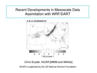
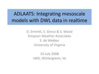
ADLAATS: Integrating mesoscale models with DWL data in realtime D. Emmitt, S. Greco & S. Wood Simpson Weather Associates S. de Wekker University of Virginia 10 July 2008 LWG, Wintergreen, Va
Overview • ADLAATS concept • Current status • Work with ARL (Wang’s WIND) • Work with NPS (MM5) • Work with NRL (COAMPS)
Airborne Doppler Lidar Analyses and Adaptive Targeting System(ADLAATS) • Autonomous on-board observation management and processing of airborne Doppler Wind Lidar data • On-board comparisons between DWL observations and model predictions with rules for switching observation modes; model validation vs. model initialization • Transmission of selected data to central site to reinitialize forecast models and/or update the realtime WRE or data cubes (IMETS)
Airborne Doppler Lidar Analysis and Adaptive Targeting System (ADLAATS) Laser Scanner Data Acquisition System • ADLAATS • Signal Processing • -LADSA • -Threading • Forward DWL Model • Model Validation • Scan Mode Selection • Aircraft Guidance ADLAATS Ulos, slos, I U, V, W, s, Bp Downloaded Soundings Uploaded Analysis • Models • WRF, MM5 • 3DWF, LAPS
ADLAATS and Numerical Models • ADLAATS involves the execution of a numerical weather model on-board the aircraft • Possible models: • WRF • MM5 • 3DWF Model • NOAA LAPS • COAMPS
Model Validation • During development, critical input from modelers is sought on how to best conduct validation studies and capture known issues (weaknesses) of the model: • When is agreement sufficient to continue validation mode? • How do we account for time and space phase shift issues? • How do we weigh vertical variation in model-data differences?
2003 MM5 Model Validation • Working with Wendell Nuss at NPS • TODWL collected ~3000 profiles over a period of 4 hours with 50 m vertical resolution, ~ 600 m horizontal resolution and ~ .10 m/s accuracy (over cycloid) • Comparison with 4 km MM5 runs
NPS MM5 • Run twice daily at the Naval Postgraduate School • 30 vertical levels, 12 at or below 850 mb level • Triple nest (108, 36, and 12 km); 4 km nest special run for this case • “Warm” start (initial conditions generated blending 12-h MM5 forecast with observations) • MRF PBL scheme • http://wx.met.nps.navy.mil/~hale/MM5/
i l 3000 2500 M M 5 _ 1 4 4 4 2000 ) m _ _ _ P 8 0 ( t h 1500 _ _ _ P 8 2 g i e _ _ _ P 8 4 H _ _ _ P 8 6 _ _ _ P 8 8 1000 500 0 0 2 4 6 8 10 12 14 16 18 20 W i n d S p e e d ( m / s ) Airborne wind lidar comparisons with MM5 model profiles Airborne 1445 - 47
Comparison with 4km MM5 Working Group on Space-Based Lidar Winds
Comparison with 4km MM5 Working Group on Space-Based Lidar Winds
TODWL underflight 18 April 6:07 pm PST Monterey Bay, California Buoy Coastline Near Marina Speed m/s)
Salinas Valley Centerline
Summary • Airborne DWL can provide targeted and adaptive wind measurement s at high temporal and spatial resolution and high measurement precision (~.05 m/s). • These airborne DWL measurements can compliment or enhance existing data networks or observing systems. The ultimate goal is a full time space-based DWL • Comparisons with model predictions suggest a significant effort is needed to define threshold differences requiring ADLAATS sample mode change.
Summary • Comparisons with model predictions suggest a significant effort is needed to define threshold differences requiring ADLAATS sample mode change.