Download
1 / 38
380 likes | 482 Views
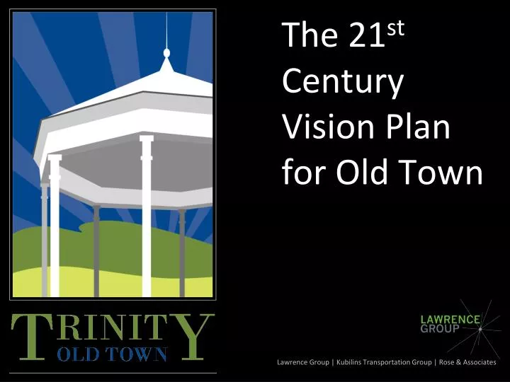
The 21 st Century Vision Plan for Old Town. Lawrence Group | Kubilins Transportation Group | Rose & Associates. Why This Plan?. Timing of Sewer Extension will encourage growth in coming years (2011) Easy Access from I-85 via interchange

E N D
The 21st Century Vision Plan for Old Town Lawrence Group | Kubilins Transportation Group | Rose & Associates
Why This Plan? • Timing of Sewer Extension will encourage growth in coming years (2011) • Easy Access from I-85 via interchange • Need for plan for municipal campus to leverage with state grants
What is Sustainable Development? A sustainable community is one that maintains the integrity of its natural resources over the long term, promotes a prosperouseconomy, and hosts a vibrant, equitable society. (ICLEI)
PRIMARY MARKET STRATEGIES (Economic Sustainability) • Create a CENTER (village center, Main St., downtown…???) • Which becomes your social & civic center of the community & commerce • Provide HOUSING • Various sizes, styles & pricing • For elderly, teachers, police & firemen • ECONOMIC DEVELOPMENT • Small Business Development (in center) • R&D/Lt. Industrial (gateways/Surrett)
Key Recommendations • Construction of the City Park and Greenway • Preservation of Key Historic Resources • Realignment of High School Drive with Meadowbrook Road • Aesthetic Improvements along Surrett Drive
Key Recommendations • Creation of a Village Green • Active Marketing of Village Center area for potential developers • Encourage Medium-density, Mixed-Use Infill • New Form-Based Codes to guide development and redevelopment
City Park – Key Recommendations • Passive Park with trails & picnic facilities • Veteran’s Memorial • Amphitheater with open lawn • City Hall location #1
Preservation of Historic Resources • Priority on 19th Century Homes • Identify a preservation plan for each structure • Private conservation/stewardship • Non-profit intervention (Preservation NC) • Public intervention and resale with convenants • Public ownership
¼ Mile 5 Minute Walk Realign Meadowbrook & High School
Village Center – Key Recommedations • Mixed-use multi-story buildings – primarily 1-2 stories • Walkable streetscape with on-street parking, wide sidewalks, decorative lighting, landscaping, and furnishings • Buildings close together but small-scale with varying roof-lines and unique facades
Village Center Development Potential • ~120,000 sf Mixed-Use/Commercial • 50 Homes/Townhomes
Encourage Infill • Mixed-use, residentially scaled buildings along Main Street (NC 62) • Focus on walkability • Medium-density residential infill (6-20 units/acre) • Medium and small lot single family • Duplexes, walk-ups, quadruplexes • Townhomes
Total Potential Infill Development • New City Park • New Middle School • Memorable Village Center • 270,000 sf Commercial • 450 Homes/Townhomes • 140,000 sf Flex/Light industrial
Use Form-Based Codes to Guide Development • Mixed Residential-Urban (RM-U) • Old Town Village Center (VC) • Old Town Overlay (OT-O) • Surrett Drive Overlay (SD-O)
New Districts • RM-U • Mixed-residential at 8-15 du/acre • Walkable street standards • Some mixed-use permitted by SUP • Old-Town Village Center • Mixed-uses permitted (similar to CS) • “Main Street” details • Building Design Standards
New Overlay Districts • Old Town Overlay District • Public Infrastructure Improvements • Sidewalk, street trees • Basic site and building design standards • Surrett Drive Overlay • Public Infrastructure Improvements • Sidewalk, street trees • Basic site and building design standards