Download
1 / 20
200 likes | 332 Views
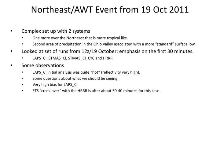
Northeast/AWT Event from 19 Oct 2011. Complex set up with 2 systems One more over the Northeast that is more tropical like. Second area of precipitation in the Ohio Valley associated with a more “standard” surface low.

E N D
Northeast/AWT Event from 19 Oct 2011 Complex set up with 2 systems One more over the Northeast that is more tropical like. Second area of precipitation in the Ohio Valley associated with a more “standard” surface low. Looked at set of runs from 12z/19 October; emphasis on the first 30 minutes. LAPS_CI, STMAS_CI, STMAS_CI_CYC and HRRR Some observations LAPS_CI initial analysis was quite “hot” (reflectivity very high). Some questions about what we should be seeing. Very high bias for LAPS_CI ETS “cross-over” with the HRRR is after about 30-40 minutes for this case.
Overview – NOWRAD and obs: Location of the cross-sections shown later indicated by the white line. 1200 UTC 1215 UTC 1230 UTC 1245 UTC
Overview – NOWRAD and obs: Location of the cross-sections shown later indicated by the white line. 1300 UTC 1400 UTC There are two separate systems, one is a deep surface low in Ohio that is strengthening. Lots of heavy precipitation with this but less convective then the system along the East Coast. This system is more tropical in nature with no strong surface low. Precipitation over New England is likely a result of this warm and moist air overrunning lower level cool air. The cross-section cuts through both of these areas (the cross-section is used for initial times only). 1800 UTC
Initial fields of Composite Reflectivity from 12z runs (compared to the LAPS analysis and NOWRAD)LAPS and STMAS certainly begin with a better looking reflectivity field than does the HRRR, but why is the LAPS_CI initial composite reflectivity so “hot”? HRRR LAPS_CI STMAS_CI_CYC STMAS_CI NOWRAD LAPS Analysis
15-min forecasts of Composite Reflectivity from 12z runs (valid 1215 UTC) compared to the LAPS analysis and NOWRADThe behavior that has been seen is for the composite reflectivity to rapidly increase after 0-h, and this is seen in STMAS_CI, and, to a lesser extent, in STMAS_CI_CYC. The opposite is seen in the LAPS_CI forecast in terms of the maximum reflectivity, but the 0-h field was much stronger than the STMAS runs and the analysis. Note, however, that the area of composite reflectivity does grow (too much compared to the analysis) in both the LAPS and STMAS runs. HRRR LAPS_CI STMAS_CI_CYC STMAS_CI NOWRAD LAPS Analysis
30-min forecasts of Composite Reflectivity from 12z runs (valid 1230 UTC) compared to the LAPS analysis and NOWRADThe behavior that has been seen is for the composite reflectivity to rapidly increase after 0-h, and this is seen in STMAS_CI, and, to a lesser extent, in STMAS_CI_CYC. The opposite is seen in the LAPS_CI forecast in terms of the maximum reflectivity, but the 0-h field was much stronger than the STMAS runs and the analysis. Note, however, that the area of composite reflectivity does grow (too much compared to the analysis) in both the LAPS and STMAS runs. HRRR LAPS_CI STMAS_CI_CYC STMAS_CI NOWRAD LAPS Analysis
Initial cross-section of reflectivity from 12z runs (compared to the LAPS analysis and NOWRAD plan view)LAPS_CI certainly has stronger reflectivity than the STMAS runs. LAPS_CI HRRR STMAS_CI STMAS_CI_CYC NOWRAD LAPS Analysis
15-min forecasts of Composite Reflectivity from 12z runs (compared to the LAPS analysis and NOWRAD plan view)Clearly the analyses are different (lower reflectivity) than the 15-min forecasts from LAPS_CI and the STMAS runs. LAPS_CI HRRR STMAS_CI STMAS_CI_CYC NOWRAD LAPS Analysis
15-min forecasts of Composite Reflectivity from 12z runs (compared to the LAPS analysis and NOWRAD plan view)Clearly the analyses are different (lower reflectivity) than the 15-min forecasts from LAPS_CI and the STMAS runs. LAPS_CI HRRR STMAS_CI STMAS_CI_CYC NOWRAD LAPS Analysis
Initial (0-h)Wind Divergence from 12z runs (compared to the LAPS analysis and NOWRAD plan view)Comments: LAPS_CI STMAS_CI_CYC balanced divergence HRRR STMAS_CI STMAS_CI balanced STMAS_CI_CYC NOWRAD LAPS Balanced Wind DIV Analysis LAPS Analysis
15-min forecast cross-sections of Wind Divergence from 12z runs valid 1215z (compared to the LAPS analysis)Comments: why do the forecasts have so much more detail then the analyses? LAPS_CI HRRR STMAS_CI STMAS_CI_CYC NOWRAD LAPS Balanced Wind DIV Analysis LAPS Analysis
15-min forecast cross-sections of Wind Divergence from 12z runs valid 1215z (compared to the LAPS analysis)Comments: why do the forecasts have so much more detail then the analyses? LAPS_CI HRRR STMAS_CI STMAS_CI_CYC NOWRAD LAPS Balanced Wind DIV Analysis LAPS Analysis
Initial cross-section of Wind Omega and Balanced wind omega from 12z runs Comments: LAPS_CI STMAS_CI_CYC balanced omega HRRR STMAS_CI STMAS_CI balanced omega STMAS_CI_CYC NOWRAD LAPS Balanced Wind Omega Analysis LAPS Analysis
Initial cross-section of Balanced cloud omega from 12z runs Should they all be identical (as they are in this case)? LAPS_CI cloud omega LAPS_CI balanced cloud omega STMAS_CI balanced cloud omega STMAS_CI_CYC balanced cloud omega NOWRAD
15-min forecast cross-sections of Wind Omega from 12z runs valid 1215z (compared to the LAPS analysis)Comments LAPS_CI HRRR STMAS_CI STMAS_CI_CYC NOWRAD LAPS Balanced Wind Omega Analysis LAPS Analysis
15-min forecast cross-sections of Wind Omega from 12z runs valid 1215z (compared to the LAPS analysis)Comments LAPS_CI HRRR STMAS_CI STMAS_CI_CYC NOWRAD LAPS Balanced Wind Omega Analysis LAPS Analysis
Comparison of 1-h accumulated precipitation forecasts from the 12z runsI wanted to see if the greater composite reflectivity that occurs quickly into the runs translates into more precipitation right away. It does seem to for LAPS_CI, which started with such high reflectivity. But amounts from STMAS runs do not seem out of line compared to the HRRR. Have not carefully compared to the observed. LAPS_CI HRRR STMAS_CI STMAS_CI_CYC QPEAnalysis NOWRAD Analysis
ewp1 = laps_ci hrrr 20 dBZ Bias wsm6 = stmas_ci Scores for surface reflectivity: ETS and Bias The exact match for LAPS_CI and STMAS_CI_CYC seems to indicate that this is for composite reflectivity. The “smearing” of the initial reflectivity in the HRRR from using the 13-km RUC likely gives it the higher bias at the beginning. Cross-over with the HRRR occurs after only 30-40 min for this case. wrf-cyc = stmas_ci _cyc 20 dBZ ETS 30 dBZ Bias The increasing bias for LAPS_CI by 2-h into the forecast is consistent with what we saw in the figures. 30 dBZ ETS 1900 UTC 40 dBZ Bias 40 dBZ ETS As with 30 dBZ, the better ETS scores for LAPS_CI and STMAS_CI_CYC come at the expense of higher bias. STMAS_CI_CYC nicely comes down to little bias (matching the HRRR) before 2-h out, but LAPS_CI actually peaks at 2-h. Question- The bias behavior looks like it must be (?) surface or low-level reflectivity, since the composite really grows quickly (and too much) by 15-min.
ewp1 = laps_ci hrrr 20 dBZ Bias wsm6 = stmas_ci Scores for composite reflectivity: ETS and Bias wrf-cyc = stmas_ci _cyc 20 dBZ ETS 30 dBZ Bias 30 dBZ ETS 1900 UTC 40 dBZ Bias 40 dBZ ETS I’m surprised that LAPS_CI does not have a higher bias earlier?
ewp1 = laps_ci hrrr 20 dBZ Bias wsm6 = stmas_ci Scores for “composite2” reflectivity: ETS and Bias What is “composite2”? wrf-cyc = stmas_ci _cyc 20 dBZ ETS 30 dBZ Bias 30 dBZ ETS 1900 UTC 40 dBZ Bias 40 dBZ ETS This looks more like we see, although why is the bias for LAPS_CI so low at 0-h?