Download
1 / 20
200 likes | 477 Views
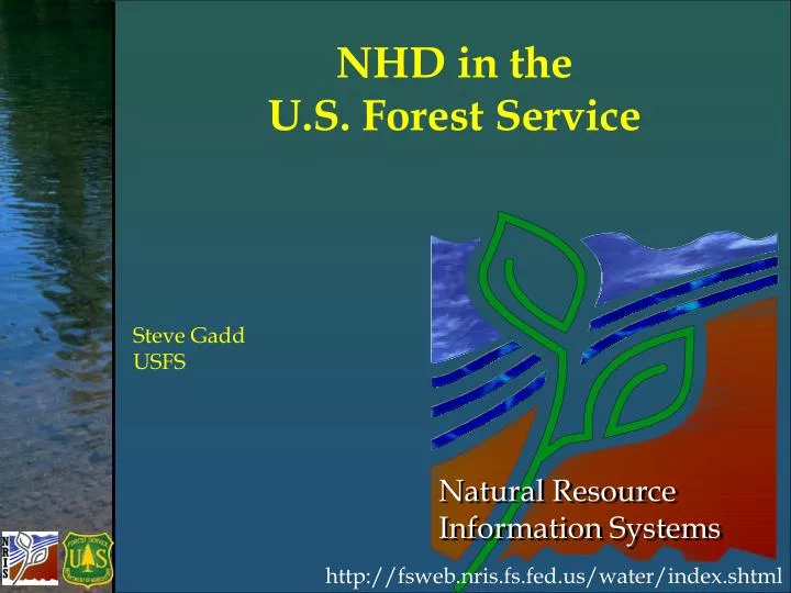
NHD in the U.S. Forest Service. Steve Gadd USFS. http://fsweb.nris.fs.fed.us/water/index.shtml. NHD in the USFS Presentation Content. USFS involvement in the development of of high resolution NHD data on Forest Service lands Suggestions for the USFS NHD Stewardship Program NHD and NRIS

E N D
NHD in the U.S. Forest Service Steve Gadd USFS http://fsweb.nris.fs.fed.us/water/index.shtml
NHD in the USFSPresentation Content • USFS involvement in the development of of high resolution NHD data on Forest Service lands • Suggestions for the USFS NHD Stewardship Program • NHD and NRIS • Training
883 Subbasins 211,000,000 Acres in 43 States S t a t e s N a t i o n a l F o r e s t s S u b b a s i n s w / F S L a n d NHD on Forest Service Lands
USFS Involvement • In June 2000, the Forest Service adopted theNHDas the spatial model for its Core GIS Data Standard for streams and waterbodies.
USFS Involvement USFS/USGS Interagency Agreement $3.0 MM Other Agreements $0.9 MM USFS Geospatial Contracts $5.9 MM Total USFS Investment $9.8 MM
Suggested USFS NHD Stewardship Organization • Regional FS Data Steward • NHD Technical Experts • Unit Data Specialists • Unit GIS personnel
Suggested USFS NHD Organization Regional NHD Data Steward • Establishes regional policy and guidelines on implementing NHD maintenance. • Maintain contacts with the NHD Technical Experts and the USGS to keep abreast of changes to the NHD.
Suggested USFS NHD Organization NHD Technical Experts • Responsible for QA/QC of the sub-basins prepared by the Unit GIS Personnel. • Highest knowledge of NHD editing required. • May be a state, USFS, or USGS employee depending on the stewardship agreement.
Suggested USFS NHD Organization Unit Data Specialists • Responsible for supervising the preparation of hardcopy or softcopy maps to direct the editing of the NHD. • They are people who are on the ground and identify the needed changes to the NHD.
Suggested USFS NHD Organization Unit GIS personnel • Use the NHDGeoEdit Tool to make the edits to the NHD. • They are directed by the Unit Data specialists.
Proposed USFS Workflow Unit Data Specialists Identifies need for change to NHD data Regional FS Data Steward Coordinates with USGS and State Stewards Unit GIS staff Edits data NHD Tech Expert QA/QC and submits to USGS
Extration Submission PGDB USFS NHD Organization USGS NHD Repository USFS NHD Replica 1 way replication NHD Editing Extracts Data • Edits Data • Submits Data USFS User
USFS NHD Editing • USFS will maintain a replica of the NHD Database. • USFS Applications will work against this replica. • The USFS NHD replica will be updated periodically from USGS repository. • The USFS NHD replica will be read-only and available in the published geodatabase.
USFS NHD Editing Process • Each National Forest or USFS Region will develop agreement with the state and/or the USGS. • All agreements will probably not be the same.
USFS Ongoing Editing • Stream densification in California, Colorado, Wyoming, Nebraska, and South Dakota. • Importing order 1 streams not allowed during the initial hi res development. • Example of local stewards authority to make changes to the NHD.
Natural Resource Inventory System (NRIS) • Aquatic Surveys – physical and Biotic • Water Uses • Water Improvement Treatments
NHD and NRIS • NHD provides the hydrographic spatial background for NRIS Water related applications. • The NRIS spatial objects are a separate feature class outside of the NHD.
NHD Training • Virtual • Overview of stewardship & NHD • In-Class • Specifics of making edits to NHD using Tool
In-Class - NHD Editing Training • Basic NHDGeoEdit Tool (2.5 day) presented by USFS • Who: FS Unit GIS staff • Objectives: Learn to use the tool to make edits, understand the Stewardship process to be able to appropriately participate • Advanced USGS NHD Editing (3-4 day) presented by USGS
USDA Forest ServiceNRIS Thanks for your attention….