Download
1 / 21
210 likes | 298 Views
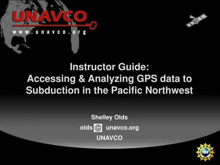
Instructor Guide: Accessing & Analyzing GPS data to Subduction in the Pacific Northwest Shelley Olds olds unavco.org UNAVCO. Processed Data. SEAT GPS STATION. GPS station, SEAT, located in Seattle, Washington Collected every 30 seconds Position estimate for each day South-North

E N D
Instructor Guide: Accessing & Analyzing GPS data to Subduction in the Pacific Northwest Shelley Olds olds unavco.org UNAVCO
Processed Data SEAT GPS STATION GPS station, SEAT, located in Seattle, Washington Collected every 30 seconds Position estimate for each day • South-North • West-East • Vertical
Part I: Creating time series plots from GPS data • See how GPS data can show the movement of a tectonic plate in the Cascadia subduction zone in the Pacific Northwest. • Calculate velocity vectors • SEAT Seattle, WA • Neah Bay, WA • P020 Lind, WA • (optional) ALBH Albert Head, Victoria, Canada • (optional) P453 near Wilbur, Washington
Part I: Step 1-Download the data Zoom in on Washington State • Click on the balloon for the SEAT station. • click on the Download Time Series Data In Excel Readable Format link http://www.unavco.org/edu_outreach/data.html
Part I: Step 2-View the data • Station’s 4-character identity • Date range • Most recent date for the data • Latitude, longitude, and elevation when installed • North, East, and Vertical columns in mm
More information about the data • In the year 2004… processed GPS data became available • North, East, and Vertical Standard Deviation • Qualifier about the data quality
Part I: Step 3-Create a scatter plot • Select the cell that contains the column heading Date. • Press Shift then Ctrl (or Apple’s Command key) thenthe down arrow • Hold the Ctrl key and click “North (mm)" • Continue to hold the Ctrl key and press Shift + the down arrow key • The date column and the North mm should be highlighted (selected).
Part I: Step 3-Create a scatter plot • Click the Chart Wizard icon or Insert -Chart . • Choose the XY (Scatter) chart type • Then Next
Part I: Step 3-Create a scatter plot • Check the data range to ensure that the date and north columns are listed.
Part I: Step 3-Create a scatter plot • Make a title to the graph [such as SEAT GPS Station: North (mm)] and label the X [Date] and Y [North (mm)] axes. • De-select the “show legend” option • Place the chart in a new sheet and call it SEAT North Plot
Now, let’s make the graphic readable • Double click on the x axis • Click on the Scale tab • Minimum = 37987 • Maximum = 39500 (Feb 22, 2008) • Major unit = 182.5 • Minor unit = 30.35 • Double-click on the y axis • Click on the Scale tab. • Value (x) axis crosses at: • Use the minimum y value , -10.
Part I: Step 4-Add a trendline • Select Add Trendline... from the Chart menu (chart > Add Trendline). • Choose Linear as the Trend/Regression type. • Click Options. Check the box next to Display equation on chart.
Adding Vectors • SEAT GPS Station has moved • 3.1 mm to the North in one year • 4.6 mm to the East in one year North 3.1 mm 4.6 mm
Plotting your velocity vector Legend 10 mm/yr ALBH NEAH P453 SEAT P020
Plot NEAH and P060 • Now calculate the plate motion vectors for GPS stations NEAH and P020 • Plot on map of Western U.S.
Map of Washington with vectors Legend 10 mm/yr What do you notice about the vectors? What’s happening to this state? ALBH NEAH P453 SEAT P020 Explore more at http://www.unavco.org/edu_outreach/data.html
And in the vertical direction ALBH NEAH P453 SEAT P020
Teaching Tips – Sources of Error • What teaching tips do you have? • What sources of error would your students have?
Wrap up What we did: • Created velocity vector maps from GPS data • Analyzed plate motion in the Pacific Northwest
Thank You! Contact info: Shelley Olds olds unavco.org 303-381-7496