Download
1 / 7
70 likes | 76 Views
clouds. assessments GEWEX Stubenrauch CREW Roebling. GEWEX, global & level 3. available level 3 monthly cloud products global, 1x1 degree lat/lon data multi-annual temporal coverage netcdf / CF convention inter-compare & document & evaluate cloud cover … stratified by altitude

E N D
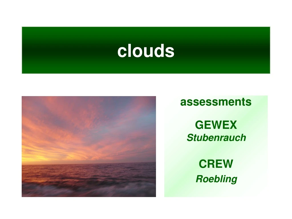
clouds assessments GEWEX Stubenrauch CREW Roebling
GEWEX, global & level 3 • available level 3 monthly cloud products • global, 1x1 degree lat/lon data • multi-annual temporal coverage • netcdf / CF convention • inter-compare & document & evaluate • cloud cover … stratified by altitude • cover in the context of other cloud products (opt. depth, cloud m-physics and cloud water) • provide recommendation on data-use
CREW - local, level 2 CREW (Cloud Retrieval Evaluation Workshops) • analysis for selected ‘golden days’ • complementary to GEWEX assessment, by offering explanations for discrepancies • explore retrieval issues (e.g. cloud detection) • explore averaging issues (e.g. level 2 level 3) • provide insights on links to other atmospheric properties (also with geo-stationary data) • support process underst. in climate modeling
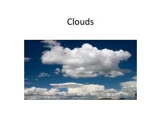
clouds • much more than cloud cover • … so that associated impacts on the atmospheric radiative fluxes can be determined and compared cloud cover cloud top press cloud top temp water path effective radius optical depth
participating data-sets all properties, mature ISCCP 1984-2007 (Rossow et al.) TOVS Path-B 1987-1994 (Stubenrauch et al.) AIRS-LMD2003-2009(Stubenrauch et al.) MODIS-ScienceTeam2001/3-2009(Ackerman / Platnick et al.)MODIS-CERES 2001/3-2006(Minnis et al.) all prop, less mature PATMOS-x (AVHRR) 1982-2009 (Heidinger et al.) ATSR-GRAPE 1999/03-09 (Poulsen et al.) only cover & top-p/T HIRS-NOAA 1982-2008 (Wylie et al., Menzel et al.) CALIPSO-ScienceTeam2007-2008(Winker et al.) CALIPSO-GOCCP 2007-2008(Chepfer et al.) CLOUDSAT-geoprof 2007-2009 (Mace et al.) complementary MISR2001-2007 (DiGirolamo et al.) POLDER(O2 & Rayl.)2006-2008(Riedi et al.)
what have we learned ? (1) • centralization (person and web-location) • a committed (and respected) leader • a central data-depot • a standard input (global modeling ‘likes’ netcdf / CF) • regular meetings keep momentum • focus on getting issues solved & reprocessing request • develop personal friendships by common interests • establish working groups • conduct experiments on common sub-topics • relieve pressure on ‘leader’ (incl. publications)
what have we learned ? (2) • delays without support for leadership … thus • $$$ support for central setup (more $$ at beginning) • web/site & collection & portal setup / maintenance • help on individual data preparation • tools for data comparisons • preparation / $$$ for regular meeting • regular newsletters • Preparation of reference data • $$ support for subtask organization • $$ support for bringing experts to once user community sees value there will be additional $