Download
1 / 20
200 likes | 291 Views
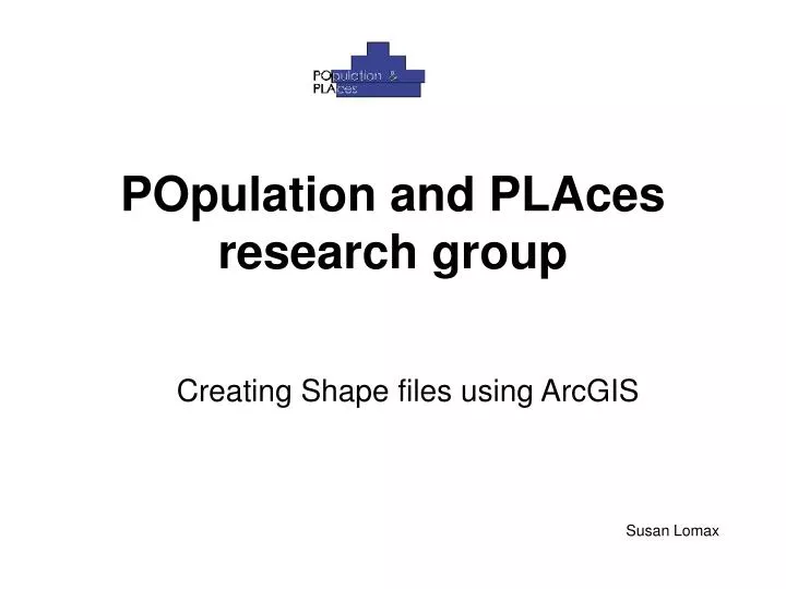
POpulation and PLAces research group. Creating Shape files using ArcGIS. Susan Lomax. GEOGRAPHY AVAILABLE. UK Districts E & W Districts UK GORS England GORs English Counties Northern Ireland Coastline Scotland GOR Wales GOR Scottish Districts Welsh Districts

E N D
POpulation and PLAces research group Creating Shape files using ArcGIS Susan Lomax
GEOGRAPHY AVAILABLE • UK Districts • E & W Districts • UK GORS • England GORs • English Counties • Northern Ireland Coastline • Scotland GOR • Wales GOR • Scottish Districts • Welsh Districts • Northern Ireland Districts • USA • Canada • Australia • Most European countries
Paste into suitably named folder by right clicking on folder. Click on file so that rename box appears and give the copy a new name: Districts.shp
Create or acquire a .csv file. This file will have the attributes you would like to map. Below is file with data waiting to be mapped: • Save it into your folder Zone_Code is the identifier
Next create a ‘Personal Geodatabase’ • To do this, right click on the folder where you pasted the shape file • Click on ‘New’, then ‘Personal Geodatabase’ • Click on this file and give it a suitable name
Geodatabase Shape file Data table
The next task is to import these 2 files into the Geodatabase, • First, the shape file, which is know as a ‘feature class’ and then the file with the data in which is a ‘table’ Shape file Click on the Geodatabase file Give it a name
File with data in Click on Geodatabase file Give it a name
Click on the Add Data button, find the Geodatabase and add the contents to ArcMap
Next, join the table to the feature file by creating a join Right click here and click on Join, the following dialogue box appears
Click on Zone_Code Browse to the Settlement table As this table has only a few attributes and Zone_Code has the same structure as the first field chosen, this is automatically filled in NB: the join fields do not have to have the same name, but they do need to be the same type i.e. string, integer etc
To check the join, right click on Demographics and open the attribute table, as you can see the attribute names have changed to show which attribute comes from which source.
Right click on Demographics, click on Data and then Export. The Export Data dialogue box appears. Leave entries as their default, click on the open folder icon and browse to where you would like to save the shape file to. Make sure that the file type is ‘Shapefile’ in the dropdown list box. A progress bar appears showing the status of the export. When it is finished you are asked whether you want to add the new file to the map as a layer. Helps with checking. You can give it a proper name, kept here as default name
Function FindLabel ( [Name], [Dist_typ_l] ) if(Dist_typ_l = "Settlement") then FindLabel = [Name] end if End Function