Download
1 / 9
90 likes | 305 Views
Geoserver Plugin. NetCDF 4D Data. Problem Area 4D Data. Coordinates. Time. Depth. Types of data. Bathymetry: The Southern Arabian Gulf & Strait of Hormuz are less than 300ft deep and conducive to high reverb.

E N D
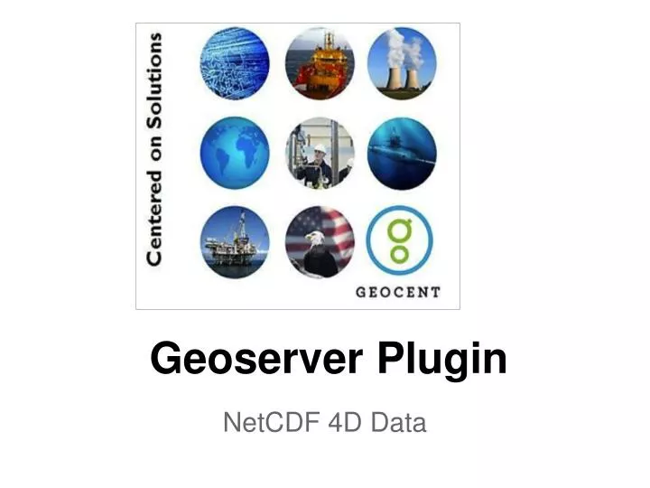
Geoserver Plugin NetCDF 4D Data
Problem Area 4D Data Coordinates Time Depth
Types of data Bathymetry: The Southern Arabian Gulf & Strait of Hormuz are less than 300ft deep and conducive to high reverb. The Gulf of Oman is a basin with steep sides and an abyssal plain with depths >10,000ft. The Arabian Gulf averages 10,000ft deep. Contains ridges and rises that can cause reverb. SLD/COF (Current): SLDs in the AG & SOH average <50ft – 150ft w/ half-channel conditions. In GOO & NAS, SLD averages 100ft – 150ft. Expect half-channel in western and southwestern portions of AG. SLD/COF (12hr Forecast): By 12 hrs, SLDs in the AG & SOH average <50ft – 150ft w/ half-channel conditions. In GOO & NAS, SLD averages 100ft – 150ft. Expect half-channel in western and southwestern portions of AG. SLD/COF (24hr Forecast): By 24hrs, SLDs in the AG & SOH average <50ft – 150ft w/ half-channel conditions. In GOO & NAS, SLD averages 100ft – 150ft. Expect half-channel in western and southwestern portions of AG. Oceanography Model confidence is moderate to high. Comparisons between the glider data and the model predictions in the central GOO are good. Fall-time cooling has extended half channel conditions along shallow parts of the South and West Arabian Gulf. Saline water is observed strongly exiting the southern Straits of Hormuz. Warmer, less saline surface water enters along the northern parts of the Straits, possibly showing two-layer stratification with strong BLG.
Natively Read 4D Data } OGC Clients } OGC Standards GeoRSS WMS KML GeoServer } GIS Server NetCDF Rastor Plugin } Plugins } Native NetCDF Flies
Major Advantages of our plugin • A single GIS Layer for each parameter • Dynamic Generation of Oceanographic or Meteorological Information • Ability to combine with other layers • Open Source • Standardized depth parameter • No pre-processing of files into a Spatial Database
More Info • www.geocentlabs.com->Projects->NetCDF Reader Plugin • https://github.com/OpenCOP/geoserver/tree/master/src/community/geonetcdf • paul.williams@geocent.com
Other open source projects • OpenCOP - Open Source Common Operational Picture • Federated Identity for Geoserver • Other 4 Data Sources such as Grib