Download
1 / 52
540 likes | 658 Views
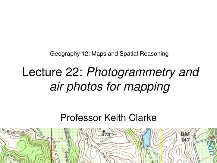
Geography 12: Maps and Spatial Reasoning Lecture 22: Photogrammetry and air photos for mapping. Professor Keith Clarke. Some Definitions. Photography: The art or process of producing images on a sensitized surface by the action of light or other radiant energy

E N D
Geography 12: Maps and Spatial Reasoning Lecture 22: Photogrammetry and air photos for mapping Professor Keith Clarke
Some Definitions • Photography: The art or process of producing images on a sensitized surface by the action of light or other radiant energy • Image: A reproduction or imitation of the form of a view of objects • Photo interpretation: The act of examining aerial photographs/images for the purpose of identifying objects and judging their significance • Photogrammetry: The science or art of obtaining reliable measurements by means of photography
1858 - Gasper Felix Tournachon "Nadar" takes the first aerial photograph from a captive balloon from an altitude of 1,200 feet over Paris 1858 Photography takes to the air
1887 - Germans began experiments with aerial photographs and photogrammetric techniques for measuring features and areas in forests 1889 - Arthur Batut take the first aerial photograph from using a kite of Labruguiere France Origins of Photogrammetry
Relief Displacement
Photo Interpretation Tasks • Detection and identification of features, phenomena, or processes • Detection and interpretation • Labeling • Confidence assessment • Measurement and estimation • Use in topographic and special purpose mapping • Map update • Problem solving • Object complexes • Object relations • Assessments/causes • Rating of evidence • Assembly of information • Ranking and assessment
Identification: What is it? Sitka, Alaska Source: www.mehs.educ.state.ak.us/ sitka/cross_sound.html
Change detection Bam City Japan. Digital Globe imagery Sept 03 and Jan 04 (Source: Tokyo Tech)
Spatial Resolution 10cm, 25cm, 50cm, 1m
Resolution * See mecca_saudi_arabia_quickbird_feb11_2003.tif
Oblique: High angle (apparent horizon visible) Examples of High Oblique Photographs Mozambique Flooding, March 2000