Download
1 / 20
200 likes | 375 Views
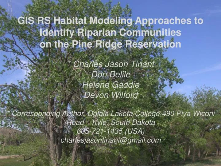
GIS RS Habitat Modeling Approaches to Identify Riparian Communities on the Pine Ridge Reservation * Charles Jason Tinant Don Belile Helene Gaddie Devon Wilford * Corresponding Author, Oglala Lakota College 490 Piya Wiconi Road – Kyle, South Dakota 605-721-1435 (USA)

E N D
GIS RS Habitat Modeling Approaches to Identify Riparian Communities on the Pine Ridge Reservation * Charles Jason Tinant Don Belile Helene Gaddie Devon Wilford • * Corresponding Author, Oglala Lakota College 490 Piya Wiconi Road – Kyle, South Dakota 605-721-1435 (USA) charlesjasontinant@gmail.com
Overview White River Group • Populus deltoides are an • early successional species colonizing point bars; • Recruitment is correlated with floods. • Damming and river alteration effects depend on channel type: • For meandering wash load streams (Missouri River) become hardwood forests; • For braided gravel streams (Platte River) cottonwoods woodlands extent increases. Medicine Root Creek Arikaree Group Porcupine Creek
Great Plains Riparian Protection Project (GRIPP) Research Objectives • 1) Understand PRR woodlands distribution and demography; • 3) Predict woodlands community type using GIS remote sensing techniques.
Methodology – Using RS to Identify Sites • Unsupervised classification of 2-m DOQ; • Pull out remotely sensed “tree” layer; • Buffer streams 50-m from center of stream; • Buffer roads 250-m from roads; • Intersect and use output to clip “tree” layer; • Draped 100-m grid and randomly selected points. Figures are courtesy of Jim Sanovia
Methodology - Fieldwork Sampled 22 plots in 2007 and 26 plots in 2008; • Estimated canopy cover at 4 community levels; • Enumerated trees to species at 5 age classes. - Measured stream morphology (2007 only) • 13 cross-sections by Rosgen Method. White River Group Medicine Root Creek
Analytical Approaches Final Habitat Model MaxEnt
Remotely Sensed Approach -Final Classified Landsat - 7 Image • Distinguishes juniper from cottonwoods • Identifies invasive Russian olive • Cloud cover!! • Doesn’t distinguish cottonwoods from hardwoods
Computationally simple process • Geology for Pine Ridge Reservation has a need for stratigraphic revision • Correctly Identifies Woodlands ~ 70%
Streamflow Model Flow Direction Flow Accumulation Set Null Functions Physiographic Regions Logic Model - ArcGIS Pourpoint shapefile 10-m DEM Shannon 10-m DEM Jackson Mosaic DEM Depressionless DEM Strahler Model Watershed Model 10-m DEM Bennett Apply Sink and Fill Functions Project to UTM Zone 13 Mosiac Rasters Add pourpoints and Iterate Hydrologic Properties shapefile SSURGO database MUKEY Flat file database Hydrologic Properties shapefile Hydrologic Properties shapefile Hydrologic Properties shapefile SSURGO shapefiles Hydrologic Properties 31 - Hydrologic Properties Rasters Select Hydrologic Properties Tie to MUKEY Join database to SSURGO shapefile by MUKEY SelectHydrologic Properties Tie to MUKEY Apply Zonal Statistics (Mean, Std. Dev, Max, Min) Mosaic DEM Rasters Terrain Rasters Strahler Model Spatial Analyst (Slope, Curvature)
Physiographic Regions Logic Model - Erdas Imagine Hydrologic Properties shapefile Hydrologic Properties shapefile Hydrologic Properties shapefile Hydrologic Properties shapefile PCA Stack 15 Layers 31 - Hydrologic Properties Rasters Hydrologic Properties Stack - 31 Layers PCA to reduce dimensionality Import into Imagine Layer Stack Physiographic Regions Model – Based on USGS Nomenclature (when possible) Initial Classification 20 classes Intermediate Classification 9 - 14 classes • Sand Hills • Eolian Sands • Fertile Lands • Tablelands • Foothills • Escarpment • Badlands • Alluvial • River Breaks Isomeans Clustering Recode Results Overlay Mask Mixed Classes Geology Shapefile DOQ DEM
Correctly Identifies Woodlands > 80% • Aa class needs additional information on bedrock geology • Computationally complex process • Misclassified watersheds
Multivariate Approach – Clustering Dendrogram Cottonwood Willow Woodlands Active Point Bars Unconfined Channels High Peak Flows Russian Olive Woodlands Foot slopes Juniper Woodlands Confined Channels Narrow Flood Plains Boxelder Green Ash American Elm
Microhabitat Niches by Geologic Unit White River Group and Pierre Shale – Plains cottonwoods and willows species: erodible sediments with sparse vegetation,unconfined flood plains, high peak flows, frequent channel migration Arikaree Formation - Green Ash, Boxelder, American Elm: cohesive sediments, mixed-grass prairie uplands, confined flood plains, attenuated peak flows, stable channels
Maximum Entropy Model • Uses asciirasters and sample locations in csv format as model inputs; • Used 30m asciirasters in UTM14 prepared using ArcGIS Spatial Analyst; • Model calculates omission rate, sensitivity, marginal and correlated response curves, model variable contributions and a jackknife test of model variable importance; • The following slides are results from MaxEnt model runs analyzing 28 variables from SSURGO soils data; • SSURGO quality for Shannan, Jackson, and Bennett counties (last updated in 1960s)has an effect on the quality of the model results; • The final model will incorporate SSURGO data, geology data, gridded precipitation data, classified Landsat imagery, and NVDI data.
Cottonwood/Willow Prediction using SSURGO Soils Variables Variable Percent Contribution dem 29.3 ec 23 kw 17.3 grass 9.9 slope 7.4 gypsum 3.9 water 2.8 silt 1.8 albedo 1.3 sar 0.7 om 0.6 caco3 0.6 shrub 0.5 ksat 0.4 hardwood 0.3 conifer 0.1
Conclusions • Cottonwoods and hardwoods species on the Pine Ridge reservation are end-members distributedalong a disturbance gradient; • The disturbance gradientcorresponds with geomorphic response to precipitation events, which can be predicted by bedrock geology; • Landscape level variables accurately predict riparian community type on the Pine Ridge Reservation; • MaxEnt software predicts riparian community occurrence at a finer level of spatial detail than other landscape or watershed level analyses.
Acknowledgements • Funded by: • National Geospatial Agency • NSF Tribal College and University Program (TCUP) • Project is supported by: • OLC Math and Science Department: • HannanLaGarry, Al Eastman, Chris Lee, Kyle White, Elvin Returns, Michael DuBray, Dylan Brave, Michael Thompson, Beau White, Jeremy Phelps, Landon Lupe (SDSU), Jim Sanovia (SDSMT) • MaxEnt reference: • Maximum Entropy Modeling of Species Geographic Distributions – Phillips, Anderson, and Shapire, Ecological Modeling ,Vol 190, 2006.