Download
1 / 19
230 likes | 528 Views
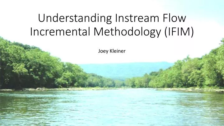
Understanding Instream Flow Incremental Methodology (IFIM). Joey Kleiner. IFIM: Instream Flow Incremental Methodology . The goal of an IFIM study is to show the relationship between stream flows and available aquatic habitat

E N D
Understanding Instream Flow Incremental Methodology (IFIM) Joey Kleiner
IFIM: Instream Flow Incremental Methodology • The goal of an IFIM study is to show the relationship between stream flows and available aquatic habitat • This Flow:Habitat relationship is necessary for assessing potential downstream impacts on habitat resulting from upstream flow alterations • A main product of an IFIM study is the Weighted Usable Area (WUA) table- an index showing habitat suitability for a given species over a range of flows
Steps in the IFIM Process • Habitat identification • Transect selection • Species selection, habitat suitability criteria (HSC) compilation • Collection of field hydraulic and habitat data • Physical Habitat Simulation System (PHABSIM) model • PHABSIM output of “Weighted Usable Area” (WUA)
The Formation of Fish Habitat • Fish habitat is dependent on: • Depth • Velocity • River bottom conditions (substrate/cover) • Depth and velocity conditions change with increasing flow • Example: Riffles, runs, pools
The Mapping of Fish Habitat • The first step in an IFIM study is the identification of aquatic habitats within the study area • The stream is divided into “study reaches” at points where significant changes in channel morphology or flow occur • The primary types of mesohabitats within these reaches need to be identified to facilitate transect site selection
The Mapping of Fish Habitat (cont.) • Habitat mapping is achieved through the use of existing institutional knowledge, aerial photographs, GIS, GPS, and site-specific data obtained through “float trips”
Transect Locations • Once the river reaches and habitat types are identified and mapped, transect locations for the collection of field hydraulic data are determined • Transects are located in areas representative of the hydraulic/habitat conditions observed in that reach
Field Data Collection • Physical Habitat Simulation (PHABSIM) software is used to simulate the relationship between streamflow and habitat for various species and life stages of fish • Data collected in the field at each transect location is used to calibrate PHABSIM for the study reach of interest • Data is collected at sampling stations/cells equally spaced along each transect • Data collected at each cell include: • Water surface elevation (WSE) • Water velocity • Substrate/cover
Field Data Collection (Cont.) • WSE and velocity data are typically collected at each transect under 3 different “target flows” (low flow, medium flow, high flow) • The target flows observed at the transects are achieved by altering dam releases upstream • Example of target flows: 50, 150, and 300 cfs (measured by a USGS gage within the study reach) • By entering the measurements taken at 3 flows, PHABSIM is able to interpolate WSE and velocity values for flows other than the 3 observed in the field
Field Data Collection (Cont.) • Cover/substrate measurements are taken during the lowest target flow • Codes for cover/substrate are assigned to each cell along a transect
Species Selection and HSC • A set of fish species needs to be selected for Flow:Habitat analysis • The species selected must be present within the study reach • The species chosen are usually the ones most affected by changes in flow • Each species has corresponding Habitat Suitability Criteria (HSC) that can be gathered from existing sources • HSC quantify habitat quality for each species/life stage based on flow velocity, depth of the water column and substrate/cover • HSC utilize a preference index ranging from 0 (least preferred) to 1 (most preferred)
PHABSIM Development • A hydraulic model within PHABSIM is created for each study transect • The hydraulic model consists of a water surface model and a velocity model • The water surface and velocity models are developed and calibrated using the 3 data sets obtained in the field (1 data set from each of the 3 target flows) • The calibrated hydraulic model is able to simulate WSE and velocity values at each cell along the transect for any flow value • The hydraulic model at each transect is combined with the HSC to produce a WUA table showing the Flow:Habitatrelationship at that transect
PHABSIM Development (Cont.) • HSC for water depths, water velocities and substrate/cover are used to rank the suitability of each model cell in a transect • This uses a multiplicative approach where suitability indexes (on a scale from 0.0 to 1.0) for a single cell in a transect are multiplied together (depth*velocity*substrate) to produce a composite suitability score for that cell (0.0 to 1.0) • The suitability score of a cell is used to weight the area of that cell to produce a “Weighted usable area” (WUA) value for that cell • The weighted values for all cells in a transect are summed to produce a total WUA for that transect WUA = suitability-weighted samples of area • WUA is an index to the microhabitat availability
WUA Development within PHABSIM • By repeating this process for multiple species/lifestages over an entire range of flows, a WUA table can be produced for each transect displaying the flow:habitat relationship for each species/lifestage of interest • The WUA tables from each transect in a reach can be averaged together using weighting factors to produce a single WUA table representative of the entire reach • WUA tables from each transect are weighted so that each transect's contribution to the reach-WUA is indicative of the amount of each habitat type (% area) present in the reach • Area weighting factors are determined during the development of the habitat maps
WUA Development within PHABSIM (Cont.) • Weighting transect-WUAs to produce a single reach-WUA table: % of each habitat type present in a single reach Weighting factors for each transect in the reach
Sources: Appomattox River Instream Flow (IFIM) Study: George F. Brasfield Dam to Harvell Dam, Final Report. Hunt Valley, MD: EA Engineering, Science, and Technology, Inc., 2012http://deq2.bse.vt.edu/sifnwiki/images/4/4f/G_Appomattox_River_Instream_Flow_IFIM_Study.pdf Averett et. al. Stream Habitat Modeling to Support Water Management Decisions for the North Fork Shenandoah River, Virginia, Final Report. Blacksburg, VA: Virginia Tech Dept. of Fisheries & Wildlife Sciences, 2004 http://deq3.bse.vt.edu/sifnwiki/images/f/fc/Ifim_nf_shen_doc.pdf Bovee, K. D. et al. Stream Habitat Analysis Using the Instream Flow Incremental Methodology. Fort Collins, CO: U.S. Geological Survey, 1998 http://oai.dtic.mil/oai/oai?verb=getRecord&metadataPrefix=html&identifier=ADA361209 Instream Flow Incremental Methodology (IFIM) Studies on the North Anna and Pamunkey Rivers, Virginia, Final Report. Sparks, MD: EA Engineering, Science, and Technology, Inc., 2009 http://deq3.bse.vt.edu/misc/ifim_northanna_notebook.pdf Krstolic, J.L., and Ramey, R.C. South Fork Shenandoah River habitat-flow modeling to determine ecological and recreational characteristics during low-flow periods: U.S. Geological Survey Scientific Investigations Report 2012–5081, 64 p. 2012 http://pubs.usgs.gov/sir/2012/5081/pdf/sir2012-5081.pdf Payne, T. et. al. Appalachian Power Company Claytor Hydroelectric Project No. 793-018, Instream Flow Needs Study, Final Report. Arcata, California: Thomas R. Payne & Associates, 2008. http://www.claytorhydro.com/documents/studyReportsDocs/ClaytorIFNStudy-FinalReport12-30- 08.pdf Schreiner et. al. Habitat Assessment of the Potomac River From Little Falls to Seneca Pool, Final Report. Columbia, MD: Versar, Inc., 2003 http://esm.versar.com/PPRP/potomac/2002report.htm Stalnaker, C. et al. The Instream Flow Incremental Methodology, A Primer for IFIM. U.S. Dept. of the Interior Report 29, 1995. https://www.fort.usgs.gov/sites/default/files/products/publications/2422/2422.pdf