Download
1 / 23
230 likes | 344 Views
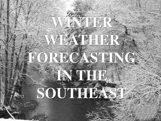
WINTER WEATHER FORECASTING IN THE SOUTHEAST. BACKGROUND RESEARCH. Collaborative Science, Technology, and Applied Research (CSTAR) Project *NWS Offices *NC State University *NC State Climate Office

E N D
BACKGROUND RESEARCH Collaborative Science, Technology, and Applied Research (CSTAR) Project *NWS Offices *NC State University *NC State Climate Office Evaluation of the Real-Time MM5 Modeling System *NC State University *NC State Climate Office *Capitol Broadcasting *NCSC/MCNC SPECIAL THANKS TO DR. GARY LACKMANN FOR PERMISSION TO USE SEVERAL VALUABLE POWERPOINT SLIDES
FORECASTING CHALLENGES • Cold Air Damming • Coastal Low Pressures • Precipitation Type
BUILDING HIGH PRESSURE CONFLUENCE ALOFT SURFACE DIVERGENCE &PRESSURE RISES
E-W Elongated High Confluence with little or no ridging at 500mb Cold front just off-shore DIABATICALLY ENHANCED CLASSICAL (SYNOPTIC FORCING)
N-S Elongated High Confluence with more ridging at 500mb Cold front far off-shore DRY ONSET CLASSICAL (SYNOPTIC FORCING)
HYBRID CAD Equal synoptic/diabatic processes Weak and progressive high IN-SITU CAD Diabatic processes prevail High in unfavorable location Little or no CAA
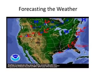
WHATDO YOULOOK FOR? High Pressure ~1030mb in New England U-shaped Isobars east of Appalachians 546 line- Mix540 line- Snow Timing of Precip (am/pm) Surface Plot CONTAINS: * Mean Sea Level Pressure Isobars (mb) * 6-hour Total Precipitation (in) * 1000-500 mb Thickness (dm)
WHATDO YOULOOK FOR? Southerly to easterly winds Temperatures < 0C Snow< 3C Mix Warm Air Intrusion 850 mb Plot CONTAINS: * 850 mb Height (dm) * 850 mb Temperature (C) * 850 mb Winds (kts)
WHATDO YOULOOK FOR? Relative Humidity >70% Negative Omegas Co-located with RH Dry Air Intrusion Westerly Winds 700 mb Plot CONTAINS: * 700 mb Heights (dm) * Relative Humidity (%) * Omega (mb/s)
WHATDO YOULOOK FOR? Southwest Winds Tilt of 500 mb Trough Confluent Flow over New England 500 mb Plot CONTAINS: * 500 mb Heights (dm) * Absolute Vorticity (s^-1) * 500 mb Winds (kts)
WHATDO YOULOOK FOR? Confluent Flow over New England Jet stream and streaks Split Flow/ Dual Jet Structure 300 mb Plot CONTAINS: * 300 mb Heights (dm) * 300 mb Isotachs (kts) * 300 mb Winds (kts)
PRECIPITATION TYPE FORECASTING FEBRUARY 5-6, 2004 Potential SC Ice Storm/CAD Event (1)What is p-type? (2)How do we make an educated guess? (3)PUTTING THE METHOD TO USE…
COLD AIR DAMMING&WINTER PRECIPITATION TYPES (1) 32 F 0C WARM NOSE (2) Warm, moist air COLD, DRY AIR (3) Rain Freezing Rain Sleet Snow SOUTH NORTH
PARTIAL THICKNESS AND GENERAL FORECASTING RULES Partial thickness - the distance between intermediate levels in the atmosphere found in the model output, typically between 1000 and 500 millibars (i.e. 1000-850, 850-700, 700-500) that represent the thermal structure in the atmosphere with increasing height TO DO ON-THE-FLY FORECASTING: For snow to fall: 1000-850 THK < 1290m 850-700 THK < 1540m For sleet/freezing rain to fall: 850-700 THK 1540-1555m Sleet > 1555m Freezing Rain (larger values of the 850-700 THK indicate warmer air aloft)
1000-500 THK & 850 HEIGHT 1575 5540 ???????????????? WILL IT BE…… SNOW, SLEET, ORFREEZING RAIN ???????????????? Surface 850 mb 700 HEIGHT & 500 HEIGHT 3160 5790 700 mb 500 mb
500mb 5790m 700mb 3160m 700-500 THK 2630m 700mb 3160m 850mb 1575m 850-700 THK 1585m 1000-500 THK 5540m 700-500 THK 2630m 850-700 THK 1585m 1000-850 THK 1325m So for the Columbia Area in the Event from Thursday, Feb. 5th… >1540m => no snow, warm nose present >1300m => too warm to freeze
P-TYPE FORECASTING NOMOGRAM 1325/1585 RAIN 1000-850mb THK 850-700mb THK
Related/Future Research CAD Erosion (Stanton 2003, MS Thesis, NCSU) High-resolution modeling (Caldwell 2004, MS Thesis, NCSU) Coastal Frontogenesis (Appel 2002, MS Thesis, NCSU) Quantitative Precipitation Forecasting (QPF)