Download
1 / 22
220 likes | 316 Views
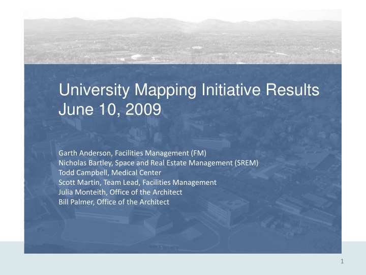
University Mapping Initiative Results June 10, 2009 Garth Anderson, Facilities Management (FM) Nicholas Bartley, Space and Real Estate Management (SREM) Todd Campbell, Medical Center Scott Martin, Team Lead, Facilities Management Julia Monteith, Office of the Architect

E N D
University Mapping Initiative Results June 10, 2009 Garth Anderson, Facilities Management (FM) Nicholas Bartley, Space and Real Estate Management (SREM) Todd Campbell, Medical Center Scott Martin, Team Lead, Facilities Management Julia Monteith, Office of the Architect Bill Palmer, Office of the Architect
Create a unified look and feel to all University maps • Produce more consistent and accurate maps • Reduce duplication of efforts producing maps • Pool mapping/geographic information systems • resources including staff and equipment • Raise awareness within the University community on • where or how to access, create, or request maps UMI Goals and Objectives
Perform external benchmarking of peer institutions • Conduct an internal survey of University departments • working with maps • Evaluate/ create a mapping request form (“work book”) • to streamline map production • Develop communication recommendations to educate • the University community on where and how to obtain • mapping information and data UMI Approach
Maps and mapping practices • Geographic Information Systems (GIS) UMI Existing Conditions - Definitions
Facilities Management • Space & Real Estate Management • Parking & Transit • University Police • Office of Major Events • Health System (Marketing & Capital Development) • Housing • ITC (Voice Communications, Web Communications) UMI Existing Conditions – Map Creators
24 institutions targeted – peers/subject experts • Survey and interview of 20 institutions • Uva practices/competency/organizations similar to • peers • CADD and GIS main systems used in mapping • Education/outreach managed in similar ad hoc manner Evaluation/Assessment: External Benchmarking
University of Iowa • University of Maryland College Park • University of Massachusetts (Amherst) • University of Michigan • University of Nebraska-Lincoln University of North Carolina at Chapel Hill • Vanderbilt University, Virginia Tech • Yale University • Brigham Young University • Clemson University • Georgia Institute of Technology • Lewis & Clark College • Princeton University • Smith College • Southern Utah University • Stanford University • State University of NY, Stony Brook • University of Florida UMI External Benchmarking
Survey developed – distributed to170 staff members • 75 responses – 44 % rate with additional interviews • Results: • No clear picture of where to obtain mapping • Maps and related information are inconsistent, inaccurate, and not current • Staff producing maps do not have formal training or mapping responsibilities • Maps are created with very little consulting prior to their production • Maps are created without the benefit of mapping software • Significant time is spent producing maps (7-9% of employee’s time) UMI Internal Benchmarking
Create a standardized approach to order maps • Establish standard maps to be used asbasemaps • Establish list of menu items that can be added to maps • for specific purposes / uses • Establish system for ordering maps online UMI Workbook Concept
Promote and maintain an awareness of mapping and • GIS resources at the University • Provide a web-based mapping portal to educate the • University community on available resources • Provide information on maps at orientation or through • wallet size promotional materials • Encourage academic collaboration with the use of maps UMI Communications Plan
Current University WebMap Future University WebMap UMI Updated WebMap Capabilities
Create a new University Mapping Office within FM • Consolidate existing mapping/ GIS staff (4 FTE’s) • New office focused on surface & utility features • SREM & HS offices continue space management • Further study is required UMI Recommendations - Mapping Office
Centralize base mapping resources (surface & utilities) • Capitalize on other initiatives • Create highly interactive mapping/ GIS site • Benefits • Facilitate creation of a UVA mapping “identity” with standard look and feel • Reduce labor demand on offices currently producing maps • Establish better map feature and data consistency • Create UVA-wide feedback loop for base map information • Create best possible mapping resources for students, faculty, staff, and visitors • Help minimize growing replication of mapping and GIS hardware and software UMI Recommendations – Centralize Resources
Create a user self-service for maps • Also create a user request form/ “Work Book” • Benefits • Authorized University staff can self-serve maps • Routinely requested maps can be preconfigured • Data is more accurate UMI Recommendations – Self-Service Maps
Promote the availability of mapping & GIS resources • Including: • Providing web-based Mapping Portal identifying mapping/GIS resources • Creating Print/web-based advertising (Cavalier Daily, the LINK, etc.) • Providing periodic announcements to user groups • Holding promotional events such as GIS Day, soliciting media coverage • Holding workshops educating users on how to create maps • Creating wallet-sized or postcard-sized card with mapping and GIS information • Providing mapping and GIS information at new employee orientation • Publicizing success stories • Exploring and encouraging Academic Collaboration UMI Recommendations – Communications
Make new Mapping Office responsible for aerial flyovers • 5-year minimum cycle recommended • Benefits • Improves data consistency at a fundamental level • Minimizes or eliminates coordination issues UMI Recommendations – Aerial Flyovers
Space Information • Regular meetings between new Mapping Office, SREM, and HS • Evaluate specific space management software • Other Technologies • Pictometry - 3D imaging of surface features • Building Information Modeling (BIM) - 3D modeling of systems and related data • Light and Detection And Ranging (LIDAR) - Elevation, vegetation, and canopy • information UMI Recommendations – Further Study


![Facilities Management 1 [D13FM] Unit 2 - The Scope and Role of Facilities Management](https://cdn4.slideserve.com/9177534/unit-2-the-scope-and-role-of-facilities-management-dt.jpg)
![Facilities Management 1 [D39FM] Unit 5](https://cdn5.slideserve.com/9705456/using-it-to-enhance-the-process-capability-of-fm-dt.jpg)