Download
1 / 23
250 likes | 563 Views
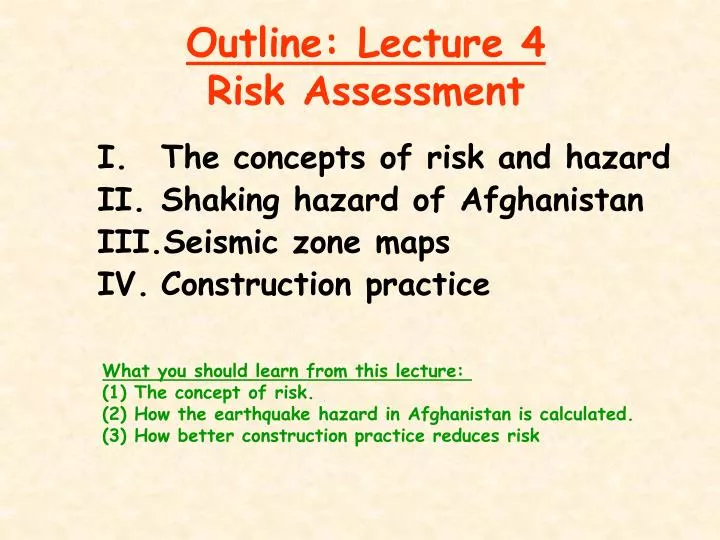
Outline: Lecture 4 Risk Assessment. The concepts of risk and hazard Shaking hazard of Afghanistan Seismic zone maps Construction practice. What you should learn from this lecture: (1) The concept of risk. (2) How the earthquake hazard in Afghanistan is calculated.

E N D
Outline: Lecture 4Risk Assessment • The concepts of risk and hazard • Shaking hazard of Afghanistan • Seismic zone maps • Construction practice What you should learn from this lecture: (1) The concept of risk. (2) How the earthquake hazard in Afghanistan is calculated. (3) How better construction practice reduces risk
Risk versus Hazard Earthquake scientists and engineers make an important conceptual distinction between hazard and risk. • Hazard is the property of an earthquake that causes loss of life or damage • Risk is the probability of loss of life, injury, or damage
Relation between Risk and Hazard Risk = Hazard x Vulnerability x Exposure • Hazard is the frequency of a level of shaking (liquefaction, landslide, fault rupture) • Vulnerability measures the likelihood that something like a building will be damaged • Exposure is the number of people, buildings, structures that are exposed to the hazard. This is called an inventory.
XII X XI IX VIII V VI VII Vulnerability
Roles of Engineer and Geologist Risk = Hazard x Vulnerability x Exposure • Geologists and seismologists define the earthquake hazard • Engineers (builders, masons, etc.) reduce the risk by decreasing the vulnerability of structures to ground motion
The Geologist Reducing earthquake risk in Afghanistan begins with understanding the earthquake potential and the ground shaking that is to be expected in future earthquakes.
Global Seismic Hazard Assessment Program (GSHAP) http://www.seismo.ethz.ch/gshap/
Global Seismic Hazard Assessment Program The Global Seismic Hazard Assessment Program (GSHAP) was launched in 1992 by the International Lithosphere Program (ILP) with the support of the International Council of Scientific Unions (ICSU), and endorsed as a demonstration program in the framework of the United Nations International Decade for Natural Disaster Reduction (UN/IDNDR). In order to mitigate the risk associated to the recurrence of earthquakes, the GSHAP promotes a regionally coordinated, homogeneous approach to seismic hazard evaluation; the ultimate benefits are improved national and regional assessments of seismic hazards, to be used by national decision makers and engineers for land use planning and improved building design and construction. The GSHAP was implemented in the 1992-1998 period and is coming to conclusion. All regional activities are now completed, and the publication of all regional results and of the GSHAP map of global seismic hazard is under way. Regional reports, GSHAP yearly reports, summaries and maps of seismicity, source zones and seismic hazard are on the GSHAP homepage on http://www.seismo.ethz.ch/GSHAP/. The report summarizes the development, the regional activities and the achievements of the GSHAP.
Seismic Hazard in East Asia Afghanistan http://www.seismo.ethz.ch/gshap/eastasia/
Kabul Seismic Zone Map of Afghanistan Peak ground acceleration (m/s2) with return time of about 500 years
d1 d4 M 7.6 d3 PROBABILISTIC SEISMIC HAZARD METHODOLOGY a b c Earthquake sources Ground motion Hazard curve M7.6 every 250yrs- 0.004 event/yr r1 annual rate of exceeding pga r2 d2 peak ground acceleration M7.6 high seismicity zone San Andreas fault d2 0.25g 0.5g distance peak ground acceleration (pga) r3 To calculate the hazard curve (annual rate of exceeding ground motions) we: 1. Determine magnitude, M, of earthquake and distance to a point, d2, 2. Calculate ground motion distribution for that M and d2. 3. Calculate the product: annual rate of earthquake *probability that earthquake will exceed certain ground motion level 4. Sum these rates for all earthquakes in the model at each ground motion to get a hazard curve. This curve shows the annual rate or probability of exceedance of each ground motion.
Kabul Seismic Zone Map of Afghanistan Peak ground acceleration (m/s2) with return time of about 500 years
DATA FOR DEVELOPING SEISMIC SOURCES EARTHQUAKES QUATERNARY FAULTS GEODETIC DATA Paleoseismology: By trenching faults that intersect the surface and offset Quaternary deposits, geologists can see the evidence for prehistoric earthquakes. If the offset deposits can be dated, usually by radiocarbon, then the frequency of faulting and large earthquakes can be estimated.
Actions that AGS can take to improve the Afghanistan seismic zone map • Knowledge of earthquake potential • Identify active faults • Characterize recurrence intervals for large earthquakes • Attenuation curves • Record strong ground motion from earthquakes in Afghanistan
Partnering with Builders It is important for geologists to work with engineers and builders of structures to make them aware of the earthquake hazard so that they can apply this knowledge to make buildings safer.
World Distribution of Buildings Made with Local Earth Materials (Sensi, 2003)
Earthquake Damage to Earth Houses Stages of Damage Corner Cracking loose Total Collapse Wall Failing
Earthquake Damage to Earth Houses • Inadequate maintenance (water reduces strength) • Seismic deficiencies
Seismic Deficienciesof Adobe Masonry Damages common in rural homes
Summary of Lecture 4Risk Assessment • Risk depends on hazard • The earthquake hazard is not uniform in Afghanistan • To reduce risk requires improving construction practice Next lecture will discuss strategies to reduce earthquake risk.