Download
1 / 33
350 likes | 576 Views
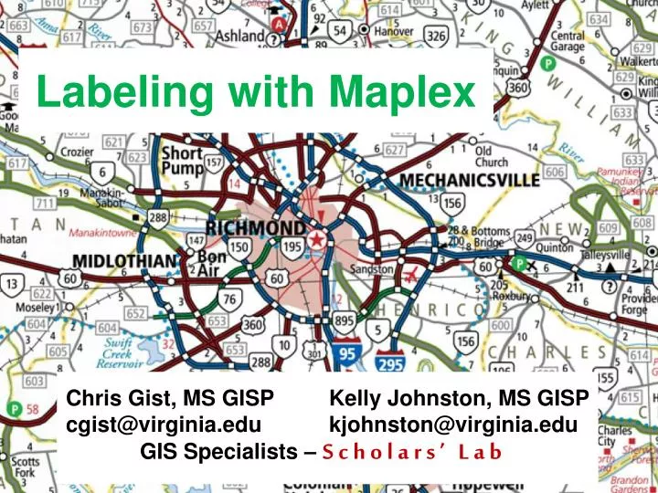
Labeling with Maplex. Chris Gist, MS GISP Kelly Johnston, MS GISP cgist@virginia.edu kjohnston@virginia.edu GIS Specialists – Scholars’ Lab. Wed 11/14/2012. Scholars’ Lab GIS Workshops - Fall 2012 Wednesday 1pm – Campbell 105 Thursday 3 pm – Alderman 421. Making Your First Map

E N D
Labeling with Maplex Chris Gist, MS GISP Kelly Johnston, MS GISP cgist@virginia.edu kjohnston@virginia.edu GIS Specialists – Scholars’ Lab
Scholars’ Lab GIS Workshops - Fall 2012Wednesday 1pm – Campbell 105Thursday 3pm – Alderman 421 • Making Your First Map • Getting Your Data On A Map • Geocoding • Georeferencing • Editing Data • Labeling • Making Beautiful Maps • Online GIS • DIY Aerial Photography
Presentation Overview • What are the types of text in ArcGIS? • Labeling vs. Annotation • The role of Maplex for ArcGIS • Maplex position properties • Maplex fitting strategies • Maplex conflict resolution properties • Annotation • Summary • Questions
What Are The Types Of Text in ArcGIS? • What are Labels? • Dynamically placed text by a label engine • Map refresh generates new text locations • Placed text can be “locked” after placement • What is Annotation? • Stored • Geodatabase • Map document • Editable
Maplex For ArcGIS • Advanced high-quality cartographic text placement engine • Fully integrated with ArcGIS • Shared tools • Full annotation support • Numerous placement options • End goal of reducing map production time and costs
Labeling Toolbar Quality placement for Maplex for ArcGIS Common tools for both label engines Maplex Specific Commands • Central location for labeling needs • Extra commands enabled with Maplex
Label Manager • Central location for label classes • Easy access to common parameters
Label Summary • Highlights potential problems in labeling properties
Label Weights Define weights to control behavior when labels and features overlap • Maplex weighting is based on values from 0 – 1000 • A value of 1000 is always treated as a barrier
Label Priority • Order of label placement priority • Label class level property • Also serves as the deletion priority for conflict resolution
Street Placement • Street placement mode • Character and word spacing • Strategies optimized for placing street labels
Contour Placement • Contour placement mode • Page or Uphill alignment • Label laddering
Polygon Border Labeling • Opposing labels are placed together • Option to repeat labels at a distance • Single sided boundaries optionally labeled
Polygon Leader Anchor Points Multiple options for placement of leader line anchor point when labeling polygons A
Label orientation • Align to the graticule • Available to any label placed horizontally • East Asian vertical text placement • Font must have vertical text metrics
Strategy Order Select the order which fitting strategies are tried
Label Stacking • Dynamic stacking • Automatic stacking • Space, comma • Automatic alignment • Left, right, center • Controlled stacking • User-defined characters • Forced stacking • Control justification Control the horizontal alignment Add new character Control the line break
Label Reduction • Font size reduction • Stepped decreases in font size to fit a label • Font width reduction • Stepped decreases in width of characters to fit a label
Label Abbreviations • Imported and exported to/from files or database tables • Multiple dictionaries per map • Translation, Keyword, and Ending types • Truncation option not tied to a dictionary
Conflict Resolution • Additional access to label weights • Simplify placement by removing excess labels and assigning label buffers
Labeling Process Labeling occurs after features draw • Properties are gathered from layers • Properties are sorted by priority • Barriers are gathered from the map • Properties and barriers are then passed to the label engine • Result is placed text drawn to screen
Maplex in ArcGIS 10 Help • Examples • Detailed explanations of options • Common labeling task help
What’s new in ArcGIS 10.1 Key numbering • Python label expressions • New label placement options and improvements Borders and Junctions Straddle lines