Download
1 / 22
230 likes | 458 Views
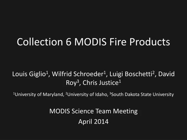
Collection 6 MODIS Fire Products. Louis Giglio 1 , Wilfrid Schroeder 1 , Luigi Boschetti 2 , David Roy 3 , Chris Justice 1 1 University of Maryland, 2 University of Idaho, 3 South Dakota State University MODIS Science Team Meeting April 2014. 200 km. Deforestation Fires

E N D
Collection 6 MODIS Fire Products Louis Giglio1, Wilfrid Schroeder1, Luigi Boschetti2, David Roy3, Chris Justice1 1University of Maryland, 2University of Idaho, 3South Dakota State University MODIS Science Team Meeting April 2014
200 km Deforestation Fires Bolivia and Brazil, 13 Sep. 2004
Burned Area in CAR and South Sudan 2004-2005 Fire Season 10°N 5°N 500 km 20°E 30°E 25°E
Processing extended to oceans and other large water bodies Detect off-shore gas flaring Reduce false alarms in Amazon caused by small forest clearings Dynamically adjust potential fire thresholds Detect smaller fires Improved cloud mask Updated fire radiative power (FRP) retrieval Collection 6 Algorithm Refinements
C6 Forest Clearing Rejection Test C5 C6 False color ASTER imagery superimposed with approximate edges of MODIS pixels (black grid). MODIS fire pixels are outlined in red.
C6 Dynamic Potential Fire Thresholds Detection algorithm uses various thresholds to quickly identify obvious non-fire pixels. These are known as “potential fire thresholds”. Prior to Collection 6, fixed day/night values were used for the potential fire thresholds. However, these thresholds really should vary with scan angle, location, land cover type, season, etc. For Collection 6, the potential fire thresholds are set dynamically.
0.25° CMG product New CMG product layers fire persistence Minor Level 3 product refinements Collection 6 Higher Level Product Refinements
Validation • Use swath (L2) product • Compare Terra MODIS fire masks to 30-m ASTER fire masks • 2500 ASTER scenes • Largely automated • C6 validation process can be initiated at any time
0.25° CMG New CMG product layers fire persistence Minor L3 product improvements New type attribute in location product Distinguish between static gas flares and other industrial sources, active volcanoes, and non-static vegetation fires Collection 6 Higher Level Product Refinements
MODIS Burned Area Products For all products burning is mapped to the nearest day.
Algorithm/Product Characteristics MCD45A1 MCD64A1 VI time series approach 500-m, daily Exploits active fire data More noise-tolerant Better mapping under cloudy conditions Poorer mapping of cropland burning • BRDF-based approach • 500-m, daily • Uses no active fire data • Less noise-tolerant • Poorer mapping under cloudy conditions • Better mapping of cropland burning
Merge features of the two different approaches to produce a better C6 product, i.e., a “Koala Goat”. MCD45 MCD64 Wikimedia Commons
Landsat imagery CEOS burned area validation protocol Collection 6 Validation
C6 Validation: Design Based Sampling • Stratified random sampling • Total population of the dataset: All Landsat pairs which respect the CEOS protocol requirements • Cloud free + within a set time period (~2 months) • Stratification • In space: sub-continental regions • In time: fire seasonality based on MODIS active fire detections
C6 Validation: Design Based Sampling • With Landsat 8 systematic acquisition sample is not merely a pair of scenes but rather the entire sequence over the year • Number of samples guided by the results of Stage 2 validation of C5.1
Statistically robust sampling essential for proper characterization of presence/absence of fire Current validation datasets are biased and are not suitable for detecting false positives Need to validate temporal and spatial aspects separately Image-pair interpretation widely tested and published in peer reviewed literature Data availability is main limiting factor With Landsat 8 data we can rigorously validate burned area for the first time in over 10 years Characteristics of Stage 3 Sampling