Download
1 / 14
140 likes | 315 Views
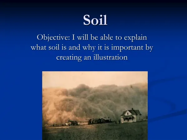
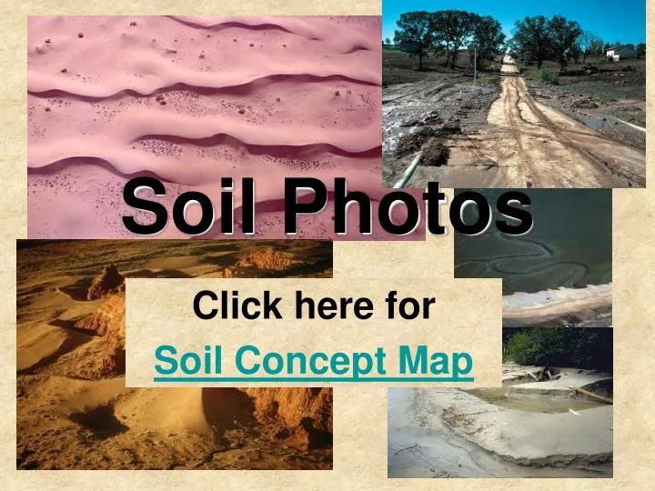
Soil Photos. Click here for Soil Concept Map. Photo 1 Photographer: NRCS National Resources Conservation Service: USDA Caption: Wind blown soil clogs a road ditch.

E N D
Soil Photos Click here for Soil Concept Map
Photo 1Photographer: NRCS National Resources Conservation Service: USDACaption: Wind blown soil clogs a road ditch.
Photo 2Photographer: Lynn Betts National Resources Conservation Service: USDACaption: Sediment in the street of Des Moines, Iowa, after rains. This occurred because measures were not taken to protect the soil from erosion during development.
Photo 3Photographer: Bruce Molnia US Geological SurveyCaption: A solifluction lobe in Alaska. Solifluction is the slow downslope movement of waterlogged soil. A solifluction lobe is an isolated, tongue-shaped feature, formed by more rapid solifluction on certain sections of a slope showing variations in gradient. It commonly has a steep front and a relatively smooth upper surface
Photo 4Caption: Salt marsh mud exposed on the beach face is a sure sign of island migration. Here at Capers Island, South Carolina, storm waves have pushed the sand from the beach back into the salt marsh, exposing the underlying salt marsh mud. In addition, the overwashed sand is starting to impede the flow of water in the gut.
Photo 6Photographer: EPA Environmental Protection AgencyCaption: Shoreline erosion along Lake Michigan. Here the beach crest, a temporary ridge or berm marking the landward limit of normal wave activity, indicates a rather calm day. Photo by Carole Y. Swinehart.
Photo 7Photographer: Michael Collier Caption: The Paiute Point Sanddune is climbing out of the valley of the Little Colorado River and over the Adeii Eechii Cliffs near Cameron, Arizona. The progress of the two echo dunes on the left is halted by reverse wind eddies from the obstructions.
Photo 8Photographer: Marli Miller University of OregonCaption: Sand blowing off of a dune.
Photo 9Photographer: Michael Fenton USGSCaption: These sand seas consist of large areas of wind-blown sand. In Saudi Arabia the most famous of these is the Ar Rub al Khali, the Empty Quarter.
Photo 10Photographer: Bruce Molnia US Geological SurveyCaption: Rain saturated soil and gravity created this landslide and debris flow near Seward, Alaska. Grading and steepening the roadcut during the construction of the road may have affected slope stability.
Photo 11Photographer: Bruce Molnia US Geological SurveyCaption: This landslide resulted from oversaturation of soil in California. The failure occured as a massive slab broke free from the wall and slid downward.
Photo 12Photographer: T. Loynachan Iowa State UniversityCaption: The muddy waters of the Chang Jiang (Yangtze River) in China shows it carrying a heavy sediment load coming from surrounding eroded lands. Photograph was included in Soils, Society, and the Environment, 2005.
Photo 13Photographer: Marli Miller University of OregonCaption: Solifluction lobes. Solifluction is the slow downslope movement of waterlogged soil. The rate is around .5 to 5 centimeters per year. This especially occurs in regions underlain by frozen ground, which acts as a barrier to water percolation. Solifluction is generally more rapid than soil creep.