Download
1 / 9
90 likes | 184 Views
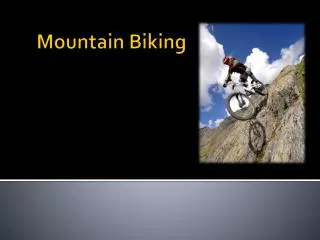
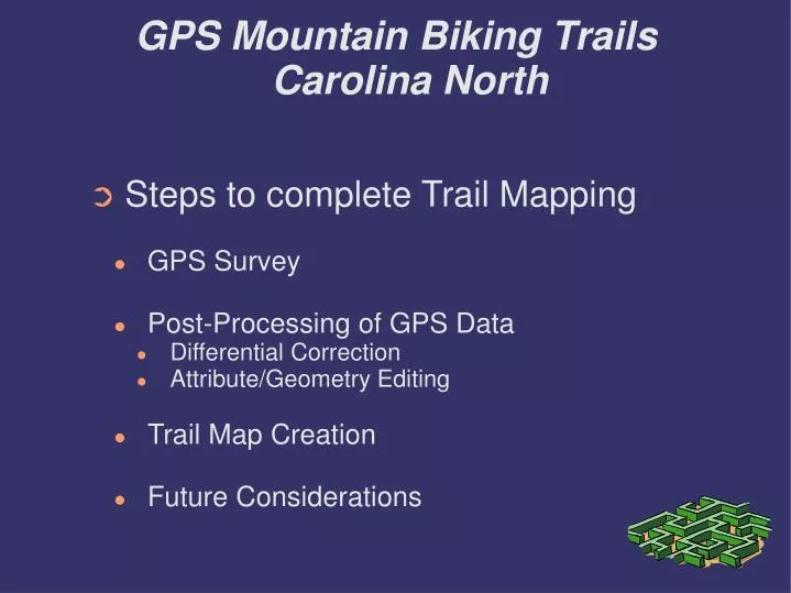
GPS Mountain Biking Trails Carolina North. Steps to complete Trail Mapping GPS Survey Post-Processing of GPS Data Differential Correction Attribute/Geometry Editing Trail Map Creation Future Considerations. GPS Mountain Biking Trails Carolina North. GPS Survey

E N D
GPS Mountain Biking TrailsCarolina North • Steps to complete Trail Mapping • GPS Survey • Post-Processing of GPS Data • Differential Correction • Attribute/Geometry Editing • Trail Map Creation • Future Considerations
GPS Mountain Biking TrailsCarolina North • GPS Survey • 2 Phase (Trail 3 & Trail 2 & Trail 3 Loop) • Phase 1: class time • poor sat coverage • high PDOP vals (productivity over precision) • PDOP = 20, elevation=5 degrees • 4-5 sats, PRNs: 09, 18, 21, 24 • Phase 2: saturday late morning/early afternoon • better coverage into the afternoon • lower PDOP vals • PDOP = 6, elevation = 15 degrees • 5-8 sats, PRNs: 02, 06, 07, 10, 21, 24, 26, 29
GPS Mountain Biking TrailsCarolina North • Post-Processing of GPS Data • Differential Correction & Attribution Correction • Pathfinder Office • Geometry Editing • ArcGIS
GPS Mountain Biking TrailsCarolina North • Differential Correction & Attribution Correction • Differential Correction using Hillsborough CORs data • Attribution correct consisted mostly of recorded by field & file naming due to input errors
Differential Correction SummaryHillsborough CORs • Differential Correction Summary: • 4 files processed. • In these files: 1789 (98.5%) of 1816 selected positions were code corrected bypost-processing • Estimated accuracies for 1789 corrected positions are as follows: Range Percentage ---------- ---------- 0-15cm - 15-30cm - 30-50cm - 0.5-1m 2.6% 1-2m 46.4% 2-5m 48.6% >5m 2.3%
GPS Mountain Biking TrailsCarolina North • Geometry Editing - ArcGIS • Smoothing of trail features – MAO = 3 • Deletion of erroneous trail vertices • due to extremely high (12+) PDOP values on position recording. Coordinated ArcGIS with Pathfinder Office to determine • Movement of Trail Nodes based on satellite background image
GPS Mountain Biking TrailsCarolina North • Future Recommendations • Spend more time planning for GPS survey • Utilize QuickPlan for best collection times • Gather more input from all stakeholders to plan the data dictionary • Tom's team • Mountain Bikers